- Owando Airport
-
Owando Airport IATA: FTX – ICAO: FCOO Location of airport in Republic of the Congo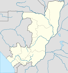
 Owando
Summary Airport type Public / Military Location Owando, Republic of the Congo Elevation AMSL 1,214 ft / 370 m Coordinates 00°31′53″S 015°57′00″E / 0.53139°S 15.95°E Runways Direction Length Surface m ft 09/27 1,800 5,905 Asphalt Source: DAFIF[1][2] Owando Airport (IATA: FTX, ICAO: FCOO) is an airport serving Owando,[1] a town in and the capital of the Cuvette Department in the Republic of the Congo.
Facilities
The airport resides at an elevation of 1,214 feet (370 m) above mean sea level. It has one runway designated 09/27 with an asphalt surface measuring 1,800 by 30 metres (5,906 × 98 ft).[1]
References
- ^ a b c Airport information for FCOO from DAFIF (effective October 2006)
- ^ Airport information for FTX at Great Circle Mapper. Source: DAFIF (effective Oct. 2006).
External links
- Current weather for FCOO at NOAA/NWS
- Accident history for Owando Airport (FTX / FCOO) at Aviation Safety Network
Categories:- Cuvette Department
- Airports in the Republic of the Congo
- Central Africa airport stubs
- Republic of the Congo geography stubs

Wikimedia Foundation. 2010.