- Asan, Guam
Infobox Settlement
settlement_type = Village
subdivision_type = Country
subdivision_name =United States
subdivision_type1 = Territory
subdivision_name1 =Guam
subdivision_type2 =
subdivision_name2 =
timezone=ChST
utc_offset=+10
unit_pref=Imperial
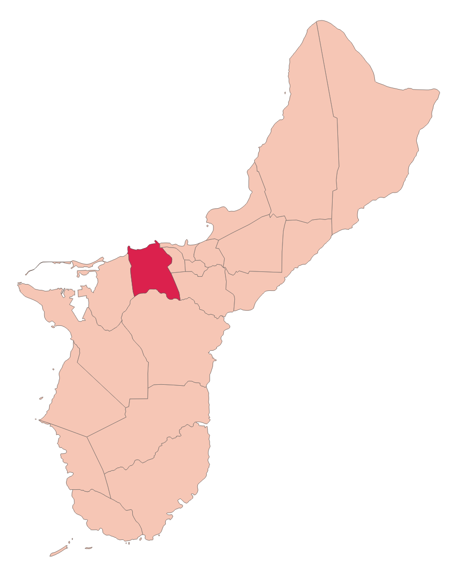
map_caption =Location of Asan within the Territory of Guam.
latd= |latm= |lats= |latNS=
longd= |longm= |longs= |longEW=
elevation_ft =
official_name = Asan
area_total_sq_mi =
population_total = 2090|population_footnotes= [ [http://www.census.gov/Press-Release/www/2001/cb01cn174.html Census Bureau News ] ]
population_as_of = 2000
population_blank1 = Chamorro|population_blank1_title=Ethnic group s|, Asian
leader_title=Mayor
leader_name = Vicente "Benny" L. San Nicolas
Mayor_since =
leader_name1 =
blank_info = "Plumeria rubra"
blank_name=VillageFlower Asan is a village located on the western shore of the
U.S. territory ofGuam . Themunicipality of Asan-Maina combines Asan with Maina, a community in the hills to the east. It was a primary landing site for United States Marines during Guam's liberation from the Japanese inWorld War II . Asan Beach Park is part of theWar in the Pacific National Historic Park .Etymology
Asan and Maina are located in the "Luchan" (Western) District. Asan derives its name from the word "hassan," meaning scarce or rare. A meaning of the word “ma’ina” deals with an infant who, between the time of his birth and his baptism, is taken by his mother to a church mass before sunrise; this ritual considered the presentation of the child to the temple or church.
History
On
July 21 ,1944 the Americans landed in Asan to recapture the island from occupying Japanese forces during the Battle of Guam. The 3rd Marine Division landed in Asan at 08:28, and the 1st Provisional Marine Brigade landed near Agat to the south. Japanese artillery sank 20 LVTs, but by 09:00 tanks were ashore at both beaches. American marines fought Japanese forces fortified in the hills above the shore after establishing a beach head. During the following week, Americans pursued retreating Japanese forces northward and eventually won the battle.Education
Guam Public School System serves the island.Southern High School in Santa Rita serves the village." [http://www.gdoe.net/ci/high_sch_crse_desc/guam_PHS.pdf Guam's Public High Schools] ." "Guam Public School System". Accessed
September 8 ,2008 .]Parks and recreation
Every year the island's largest
Easter egg hunt is at the War in the Pacific National Park with over 10,000 eggs.The village also hosts the yearly International Kite Flying Competitions with people from
South Korea ,Japan ,China , Guam, and theCNMI competing for the championship.ee also
*
Villages of Guam References
Wikimedia Foundation. 2010.