- Neerabup, Western Australia
-
Neerabup
Perth, Western Australia
Agricultural land on Wattle Avenue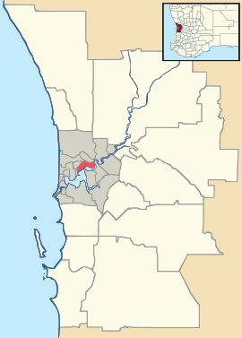
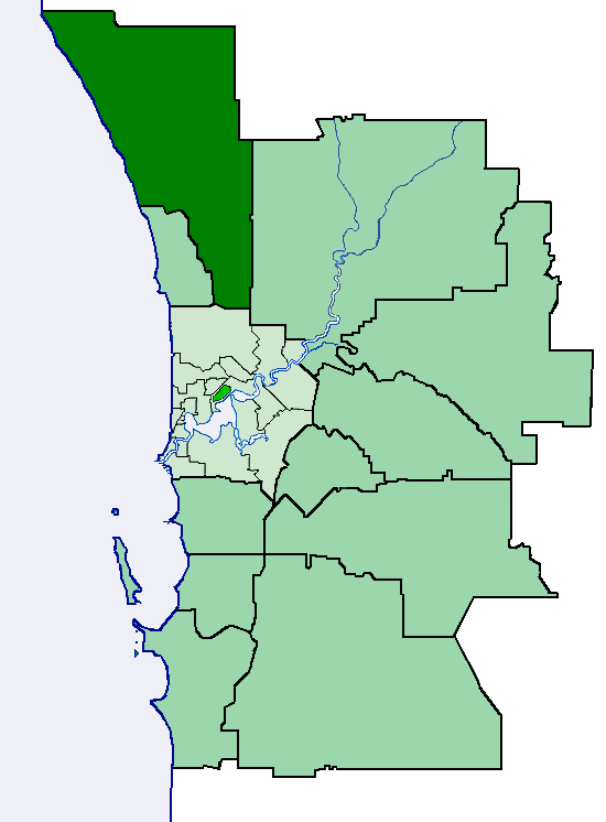
 Neerabup
Population: 82 Postcode: 6031 Area: 34 km² (13.1 sq mi) Location: 36 km (22 mi) from Perth City LGA: City of Wanneroo State District: Mindarie Federal Division: Moore Suburbs around Neerabup: Ridgewood
ClarksonNowergup Pinjar Tamala Park
KinrossNeerabup Pinjar Wanneroo
JoondalupCarramar Banksia Grove Coordinates: 31°41′28″S 115°46′37″E / 31.691°S 115.777°E
Neerabup is a rural locality in Perth, the capital of Western Australia. Its Local Government Area is the City of Wanneroo.
Contents
History
Prior to European settlement, Noongar Aboriginal people had lived in the area for more than 40,000 years, taking advantage of the abundant food and water around the chain of wetlands on the coastal plain. In winter, they moved eastwards away from coastal weather, to return in summer as inland supplies dried up. The Mooro people (led by elder Yellagonga during the early years of European settlement) stretched from the Moore River near Guilderton to what is now the Perth central business district, and used to move between Lakes Joondalup, Neerabup and Yanchep.
In 1865, European settlers established the Aboriginal tracks as a stock route from Dongara (near Geraldton) to Fremantle, travelling along the west side of the lakes. Lake Neerabup was first recorded by surveyor J. Cowle in 1867, the name being a Noongar word which possibly means "swampy place" or "small basin". The part of the stock route between Joondalup and Yanchep is now part of the Yaberoo Budjara Heritage Trail, part of the Bicentennial Heritage Trails Network established in 1988.[1]
The area was often spelled Neerabub, especially by postal and telecommunications authorities, until as recently as the 1960s. It was approved as a suburb name in 1982.[2]
Geography
Neerabup is bounded by Wattle Avenue to the north, the proposed Mitchell Freeway to the west, Pinjar Road to the east and Flynn Drive and Burns Beach Road to the south.[3]
Neerabup's population was not measured at the ABS 2001 census.[4]
Facilities
Neerabup is a sparsely populated agricultural suburb. Several plant nurseries, a fruit and vegetable shop at Menchetti Road and the Neerabup Lake wetland are situated along Wanneroo Road. The western strip between Wanneroo Road and the proposed Mitchell Freeway is approximately the southern half of the Neerabup National Park. The area also contains a golf course, small wineries, a small industrial area on Flynn Drive and several sand and limestone quarries. Barbagallo Raceway and Wanneroo Kartway WA's premier motorsport facilities, are located in the suburb's northeast.[3]
Transport
Neerabup is not served by public transport at the present time. The nearest Transperth bus service is the 391 between Joondalup train station and Carramar 2 km to the south.[5] These services are operated by Path Transit.
Politics
Neerabup's political leanings are unclear due to its small size and the lack of a polling booth. The nearest large booths tend to favour the Australian Labor Party historically, although most have been won by the Coalition in recent times, especially at federal level.
References
- ^ Heritage Council of WA (June 1998). "Yaberoo Budjara Heritage Trail" (PDF). http://trails.heritage.wa.gov.au/ht_pdf/YaberooBudjara.pdf. Retrieved 2007-01-17.
- ^ Western Australian Land Information Authority. "History of metropolitan suburb names". http://www.landgate.wa.gov.au/corporate.nsf/web/History+of+metropolitan+suburb+names. Retrieved 2007-05-01.
- ^ a b Department of Land Information. StreetSmart® Perth Street Directory (50 (2009) ed.). West Australian Newspapers Ltd. pp. Maps 160-161, 190-191. ISBN 978-1-921048-28-9.
- ^ Australian Bureau of Statistics (19 November 2002). "Community Profile Series : {{{name}}}". 2001 Census of Population and Housing. http://www.censusdata.abs.gov.au/ABSNavigation/prenav/ProductSelect?newproducttype=Community+Profiles&collection=Census&period=2001&areacode={{{id}}}&breadcrumb=LP¤taction=201&action=401. Retrieved {{{accessdate}}}.
- ^ Northern 69 timetable, Transperth, effective 16 May 2010. Accessed 23 May 2010.
Suburbs and localities of the City of Wanneroo | Perth | Western Australia North West 
North East South Alexander Heights · Darch · Girrawheen · Koondoola · Landsdale · Madeley · Marangaroo · Wangara · Woodvale¹
¹ Suburb shared with the City of JoondalupCategories:- Suburbs of Perth, Western Australia
- Australian Aboriginal placenames


Wikimedia Foundation. 2010.