- County Carlow
-
"Carlow County" redirects here. For the UK Parliament constituency, see Carlow County (UK Parliament constituency).
County Carlow
Contae Cheatharlach
Coat of arms
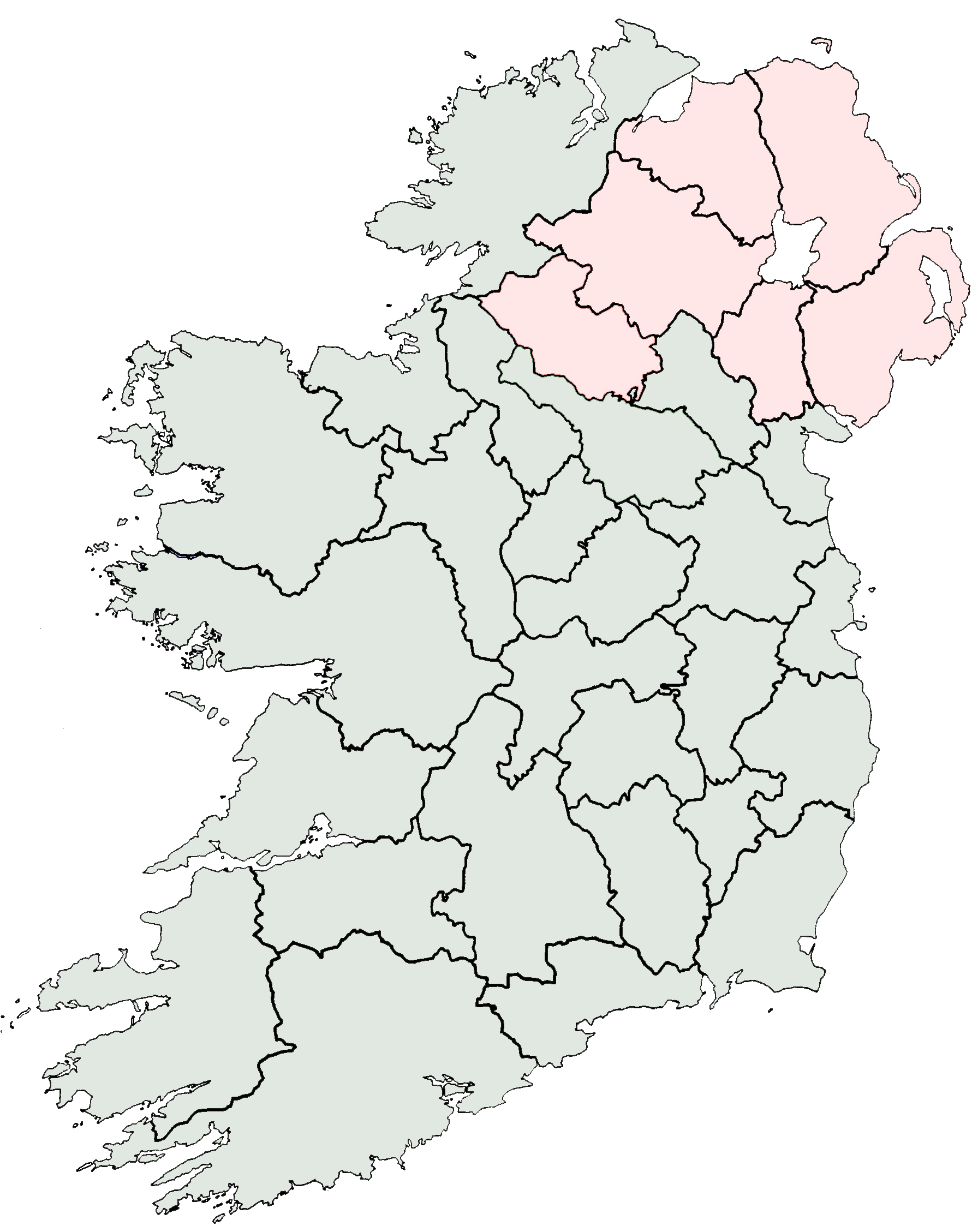
Country Ireland Province Leinster Dáil Éireann Carlow-Kilkenny EU Parliament East constituency County seat Carlow Government - Type County Council Area - Total 896 km2 (345.9 sq mi) Area rank 31st Population (2011) 54,532 - Rank 30th Car plates CW Website countycarlow.ie Historical populations Year Pop. ±% 1653 4,969 — 1659 5,434 +9.4% 1821 78,952 Expression error: Unrecognised punctuation character "," 1831 81,988 Expression error: Unrecognised punctuation character "," 1841 86,228 Expression error: Unrecognised punctuation character "," 1851 68,078 Expression error: Unrecognised punctuation character "," 1861 57,137 Expression error: Unrecognised punctuation character "," 1871 51,650 Expression error: Unrecognised punctuation character "," 1881 46,568 Expression error: Unrecognised punctuation character "," 1891 40,936 Expression error: Unrecognised punctuation character "," 1901 37,748 Expression error: Unrecognised punctuation character "," 1911 36,252 Expression error: Unrecognised punctuation character "," 1926 34,476 Expression error: Unrecognised punctuation character "," 1936 34,452 Expression error: Unrecognised punctuation character "," 1946 34,081 Expression error: Unrecognised punctuation character "," 1951 34,162 Expression error: Unrecognised punctuation character "," 1956 33,888 Expression error: Unrecognised punctuation character "," 1961 33,342 Expression error: Unrecognised punctuation character "," 1966 33,593 Expression error: Unrecognised punctuation character "," 1971 34,237 Expression error: Unrecognised punctuation character "," 1979 38,668 Expression error: Unrecognised punctuation character "," 1981 39,820 Expression error: Unrecognised punctuation character "," 1986 40,988 Expression error: Unrecognised punctuation character "," 1991 40,942 Expression error: Unrecognised punctuation character "," 1996 41,616 Expression error: Unrecognised punctuation character "," 2002 46,014 Expression error: Unrecognised punctuation character "," 2006 50,349 Expression error: Unrecognised punctuation character "," 2011 54,532 Expression error: Unrecognised punctuation character "," [1][2][3][4][5][6] County Carlow (Irish: Contae Cheatharlach) is a county in Ireland. It is part of the South-East Region and is also located in the province of Leinster. It is named after the town of Carlow, which lies on the River Barrow. Carlow County Council is the local authority for the county. The population of the county is 54,532 according to the 2011 census.[7]
Contents
Geography and political subdivisions
Baronies
There are seven historic baronies in the county: Carlow, Forth, Idrone East, Idrone West, Rathvilly, St Mullin's Lower and St Mullin's Upper.
Towns and villages
Local government
County council
Main article: Carlow County CouncilThe principal local authority is Carlow County Council. The council provides a number of services including planning, roads maintenance, fire brigade, council housing, water supply, waste collection, recycling and landfill, higher education grants and funding for arts and culture.[8]
Town councils
An additional tier of local government exists in the two largest towns in the county, Carlow and Muine Bheag.
Sport
F.C. Carlow in the A Championship
People
- Lisa Burke - weather forecaster on Sky News.
- Pierce Butler - soldier, planter, and statesman, recognized as one of United States' Founding Fathers. He represented South Carolina in the Continental Congress and the United States Senate.
- Myles Keogh - American Civil War military officer and later Captain of Company I, U.S. 7th Cavalry Regiment - Fought in Indian Wars and was killed at the Battle of the Little Bighorn in 1876. He was born in Orchard, Leighlinbridge in 1840.
- William Dargan - engineer, often seen as the father of Irish railways.
- Richie Kavanagh - comic songwriter, from Raheenwood, Fenagh, Co. Carlow.
- John Tyndall - the 19th century scientist who was the first to explain why the sky is blue.
- Saoirse Ronan - Oscar and Golden Globe nominated actress.
- Kathryn Thomas - RTÉ presenter.
- Samuel Haughton - Polymath, in 1866 published a formula for calculating the drop needed to cause instantaneous death at hangings.
- Sean O Brien- Leinster Rugby, from Tullow, Co.Carlow.
See also
- List of abbeys and priories in Ireland (County Carlow)
- Lord Lieutenant of Carlow
- High Sheriff of Carlow
- Monte Carlow - a place to discuss everything Carlow
References
- ^ For 1653 and 1659 figures from Civil Survey Census of those years, Paper of Mr Hardinge to Royal Irish Academy March 14, 1865.
- ^ Census for post 1821 figures.
- ^ http://www.histpop.org
- ^ http://www.nisranew.nisra.gov.uk/census
- ^ Lee, JJ (1981). "On the accuracy of the Pre-famine Irish censuses". In Goldstrom, J. M.; Clarkson, L. A.. Irish Population, Economy, and Society: Essays in Honour of the Late K. H. Connell. Oxford, England: Clarendon Press.
- ^ Mokyr, Joel; O Grada, Cormac (November). "New Developments in Irish Population History, 1700-1850". The Economic History Review Volume 37 (Issue 4): 473–488. doi:10.1111/j.1468-0289.1984.tb00344.x. http://www3.interscience.wiley.com/journal/120035880/abstract.
- ^ Census 2006 - Population of each province, county and city
- ^ "All Services". Carlow County Council. http://www.carlowcoco.ie/en/allservices/. Retrieved 27 March 2011.
External links
- Carlow Local Authorities
- Co Carlow Football Club
- Carlow GAA
- Myles Keogh Website
- County Carlow travel guide from Wikitravel

Laois 
Kildare Kilkenny 

Wicklow  County Carlow

Wexford 
Places in County Carlow Towns 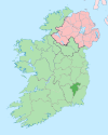
Villages and
TownlandsAghade · Ballinkillen · Ballon · Ballymurphy · Borris · Bunclody-Carrickduff · Clonegal · Clonmore · Coolkenno · Fennagh · Hacketstown · Kildavin · Leighlinbridge · Myshall · Nurney · Old Leighlin · Rathvilly · Royal Oak · Rossmore · Tinryland · Tullow
List of townlands in County Carlow · Category:Mountains and hills of County Carlow · Category:Rivers of County Carlow · Category:Geography of County CarlowCounties of Ireland The counties are listed per provinceConnacht 
Munster Leinster Ulster Italics denote non-administrative counties. Brackets denote eponymous cities or non-traditional counties. † denotes counties of Northern IrelandCategories:- County Carlow
- Leinster
- Counties of the Republic of Ireland
- Local administrative units of the Republic of Ireland


Wikimedia Foundation. 2010.