- Craigie, Western Australia
-
Craigie
Perth, Western Australia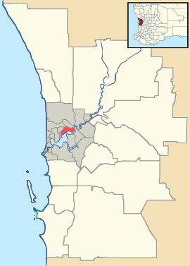
 Craigie
Population: 5,564 (2006 census)[1] Established: 1970s Postcode: 6025 Area: 4.6 km² (1.8 sq mi) Location: 23 km (14 mi) NNW of Perth LGA: City of Joondalup State District: Joondalup Federal Division: Moore Suburbs around Craigie: Mullaloo Beldon Woodvale Kallaroo Craigie Woodvale Hillarys Padbury Kingsley Coordinates: 31°47′13″S 115°46′05″E / 31.787°S 115.768°E
Craigie is located in the northern suburbs of the Perth metropolitan area. Craigie was chosen as a suburb name in 1970 and honours an early councillor of the City of Wanneroo who did much work in developing the City. Craigie is one of the four "Whitfords" suburbs that resulted from the State Government rezoning a large area of coastal land for development in 1969.
The suburb once had a senior high school, Craigie Senior High School, which was opened in 1976 only to be closed again in 2003 following a decline in student enrolments. Students from Craigie now must enrol at either Padbury Senior High School or Belridge Senior High School[2].
The City of Joondalup gave consent for advertising the Craigie Structure for public comment for a 28 day period commencing 3 February and which closed 3 March 2011.
References
- ^ Australian Bureau of Statistics (25 October 2007). "Craigie (State Suburb)". 2006 Census QuickStats. http://www.censusdata.abs.gov.au/ABSNavigation/prenav/LocationSearch?collection=Census&period=2006&areacode=SSC51351&producttype=QuickStats&breadcrumb=PL&action=401. Retrieved 2007-08-03.
- ^ "Ministerial Statements - School closure to increase educational opportunities for students: Minister". 2003. http://www.mediastatements.wa.gov.au/ArchivedStatements/Pages/CarpenterLaborGovernmentSearch.aspx?ItemId=121741&minister=MacTiernan&admin=Carpenter. Retrieved 2010-08-29.
Suburbs of the City of Joondalup | Perth | Western Australia North Burns Beach · Connolly · Currambine · Edgewater · Heathridge · Iluka · Joondalup · Kinross · Ocean Reef
South ¹ Suburb shared with other Local Government AreasCategories:- Suburbs of Perth, Western Australia
- Perth, Western Australia geography stubs

Wikimedia Foundation. 2010.