- Del Rio International Airport
-
Del Rio International Airport IATA: DRT – ICAO: KDRT Summary Airport type Public Operator City of Del Rio Location Del Rio, Texas Elevation AMSL 999 ft / 304 m Coordinates 29°22′22.20″N 100°55′33.05″W / 29.372833°N 100.9258472°WCoordinates: 29°22′22.20″N 100°55′33.05″W / 29.372833°N 100.9258472°W Runways Direction Length Surface ft m 13/31 6,300 2,000 Asphalt Del Rio International Airport (IATA: DRT, ICAO: KDRT) is a public airport located just west of Del Rio, Texas. The airport has a single 6300' runway. The airport is owned by the City of Del Rio with a seven member airport advisory board, appointed by the City Council, monitors the development and operations of the airport. The airport is classified by the FAA as a commercial primary, non-hub airport. The airport completed the 2.7 million dollar terminal expansion. The terminal has the space for a second commercial airline. Construction is in progress on the 6,000 sf. Texas Dept. Of Public Safety (DPS) Air Patrol station. New construction to begin in 2011-12 includes the 1.1 million dollar Fed Ex cargo facility, 2 million dollar New Apron and Taxilane. Upcoming projects for 2013 includes an airport control tower and a Corporate hanger.
DRT is mostly used for general aviation but is also served by United airlines. Due to its proximity to Laughlin AFB it is often used by USAF pilot training students. The Airport serves the Middle Rio Grande region.
Contents
Airlines and destinations
Airlines Destinations United Airlines operated by Colgan Air Houston-Intercontinental History
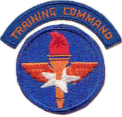
The airport opened in November 1937 as Val Verde County Airport. On 26 September 1942, during World War II, the airport was taken over by the United States Army Air Forces and used as a contract primary pilot training airfield under the AAF Gulf Coast Training Center (later Central Flying Training Command). Flying training was performed with Fairchild PT-19s as the primary trainer. Also had several PT-17 Stearmans and a few P-40 Warhawks assigned.
Inactivated 11 January 1946 and airport returned to civil control.
See also
References
 This article incorporates public domain material from websites or documents of the Air Force Historical Research Agency.
- Shaw, Frederick J. (2004), Locating Air Force Base Sites History’s Legacy, Air Force History and Museums Program, United States Air Force, Washington DC, 2004.
- Manning, Thomas A. (2005), History of Air Education and Training Command, 1942–2002. Office of History and Research, Headquarters, AETC, Randolph AFB, Texas ASIN: B000NYX3PC
External links
- City of Del Rio: Airport Page
- Resources for this airport:
- AirNav airport information for KDRT
- ASN accident history for DRT
- FlightAware airport information and live flight tracker
- NOAA/NWS latest weather observations
- SkyVector aeronautical chart for KDRT
- FAA current DRT delay information
 Army Air Forces Training Command
Flying Training Flying Schools Eastern Flying Training Command · Central Flying Training Command · Western Flying Training CommandSpecialized Schools Bombardier · Contract Flying · Glider Training · Gunnery · Navigator
Technical Training Eastern Technical Training Command · Central Technical Training Command · Western Technical Training CommandCategories:- 1937 establishments
- USAAF Contract Flying School Airfields
- Airfields of the United States Army Air Forces in Texas
- Airports in Texas
- Buildings and structures in Val Verde County, Texas
- Transportation in Val Verde County, Texas
- Texas airport stubs
Wikimedia Foundation. 2010.