- Isla Mujeres
-
Isla Mujeres — Municipality — 

EmblemLocation of the Municipality in the State Location of the Municipality
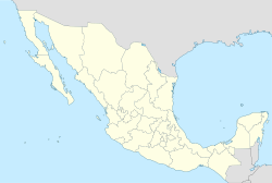
 Isla Mujeres
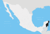
Coordinates: 21°14′10″N 86°44′08″W / 21.23611°N 86.73556°WCoordinates: 21°14′10″N 86°44′08″W / 21.23611°N 86.73556°W Country  Mexico
State  Quintana Roo
Municipal Seat Isla Mujeres Government – Type ND – Municipal President[1] Hugo Sánchez Montalvo Area – Municipality 1,100 km2 (424.7 sq mi) [2] Elevation 1 m (3 ft) Population (2010) – Municipality 16,203 – Urban 15,295 Time zone Central Standard Time (UTC-6) – Summer (DST) Central Daylight Time (UTC-5) INEGI Code 003 Major Airport Isla Mujeres National Airport IATA Code IMJ ICAO Code MMOM Website Official Site Municipalities of Quintana Roo 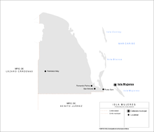 Map of the Municipality
Isla Mujeres (Spanish for Island of Women) is one of the ten municipalities of the Mexican state of Quintana Roo. The municipality, located in the northeastern corner of the state is mostly on the mainland and has a municipal seat of the same name; Isla Mujeres. The municipal seat 21°13′56″N 86°43′54″W / 21.23222°N 86.73167°W is a small island town a short distance off the northeast coast of the Yucatán Peninsula in the Caribbean Sea about 13 kilometres (8.1 mi) northeast of Cancún. It is the easternmost municipal seat in Mexico. The island is some 7 kilometres (4.3 mi) long and 650 metres (2,130 ft) wide. In the 2010 census, the town had a population of 12,642 inhabitants.[3]
Contents
Towns and villages
The largest localities (cities, towns, and villages) are:[3]
Name 2010 Census Population Isla Mujeres 12,642 Zona Urbana Ejido Isla Mujeres 2,653 Francisco May 223 Total Municipality 16,203 Transportation
Transportation on the island of Isla Mujeres consists primarily of taxis or golf carts and moped scooters. As of 2005 there were 121 taxis, 500 golf carts, and 1500 moped scooters.[4] There's also a Bus service that runs from the Downtown to the different neighborhoods, called "Colonias" in Spanish (where most of locals live).
 View from lighthouse on the southern tip
Mayan History
In Pre-Columbian times the island was sacred to the Mayan goddess of childbirth and medicine, Ix Chel. When the Spanish arrived in the 16th century they named it "Isla Mujeres" because of the many cult images of goddesses. The first information available about Isla Mujeres is from the period between 564 - 1516 AC, when it was part of the Mayan province called Ekab. There were 4 Mayan provinces in what is today the State of Quintana Roo. The Mayan also exploited the salt that the island produced in the "salinas" (small interior lagoons). The salt was used not only for the conservation of food and medicine but also has a generally accepted currency for commerce of goods along the whole Mayan region. The Mayan goddess Ixchel had a temple in what is today the Hacienda Mundaca (Mundaca's Plantation House).
A small Mayan temple was once located on the southern tip of the island. However in 1988 Hurricane Gilbert caused extensive damage, leaving most of the foundation but only a very small portion of the temple. Since the 1970s, along with close-by Cancún, there has been substantial tourist development in Isla Mujeres.
Island connectivity to the mainland
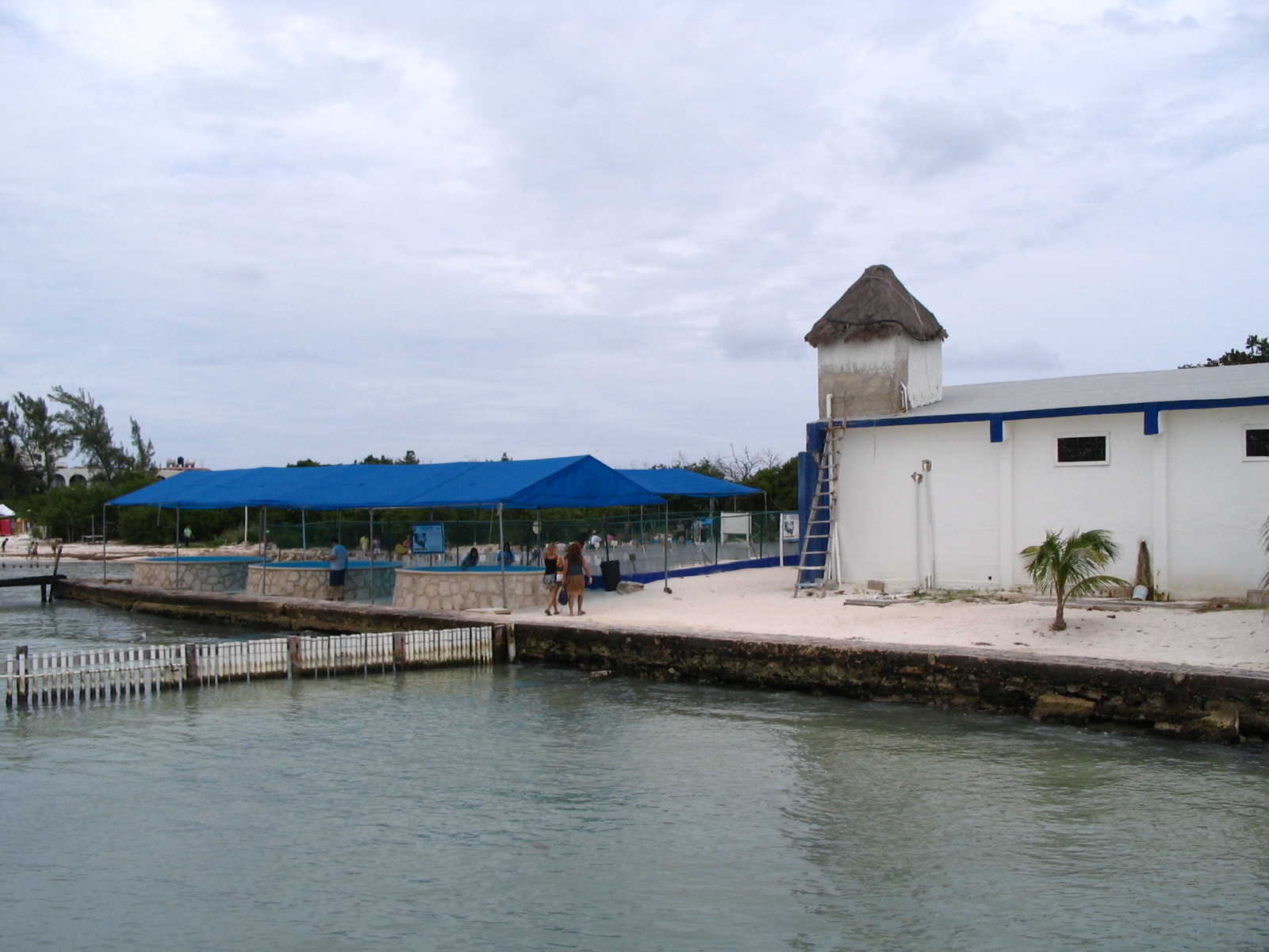
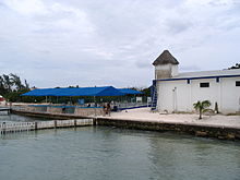 Sea Turtle Farm on Isla Mujeres
Ferry boats run from the island and Puerto Juárez or Gran Puerto on the mainland. The island is popular with day trippers, but activity quiets down in the evening after the tour groups leave. There are numerous places to eat fresh seafood cooked with local and traditional delicious recipes, also many other types of food are available at restaurants on the island such as: black angus steaks, Mexican, yucatecan, Italian, caribbean, mediterranean, Hebrew, French, thai, Cuban & maya. Hotel prices vary from cheap to very expensive at the resorts on the southwest end such as Hotel Villa Rolandi, and Playa Norte Ixchel Beach Hotel. On the east is the Caribbean Sea with a strong surf and rocky coast, and on the west the skyline of Cancún is seen across the clear waters. On the north end is El Centro (downtown), whose central axis, Hidalgo Street, is the main dining and entertainment area. Also located on the north end is a famous beach called Playa Norte, which has recovered quickly since Hurricane Wilma hit the area in 2005. Besides this several amenities, swimming with dolphins can also be experienced at the Island via Dolphin Discovery.
The island of Isla Mujeres is located close to one of many coral reefs such as the one located in Garrafon Park, which is an area popular for its snorkeling and scuba diving. The Cancun underwater museum, created by English sculptor Jason deCaires Taylor, is located off the western coast of Isla Mujeres. Isla Mujeres is also home to a population of sea turtles. Because of the recent endangerment of sea turtles in the area, a facility was set up on the southern end of the island for the rehabilitation and breeding of them. This facility is open to the public.
The island's relative proximity to Cuba has made it one of the favorite stepping stones of Cubans trying to reach the United States in recent years.[5]
Gallery
-

View from the northern beach.
-

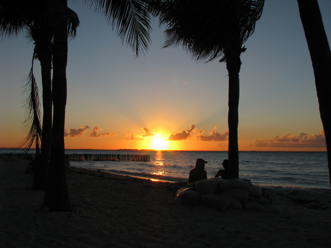
Sunset on the island.
-

Colorful souvenirs.
-

Patron of the sea turtle farm.
References
- ^ [1] Official Website for Isla Mujeres
- ^ Quintana Roo Enciclopedia de los Municipios de México
- ^ a b 2010 census tables: INEGI
- ^ Census of 2005 Instituto Nacional de Estadística, Geografía e Informática, in Spanish.
- ^ Lacey, Marc (2007-10-15), "For Cubans, a Twisting New Route to the U.S.", New York Times, http://www.nytimes.com/2007/10/16/world/americas/16cuba.html, retrieved 2007-10-15
External links
- Fideicomiso de Promoción Turística de Isla Mujeres Official tourism website
- Isla Mujeres at the Open Directory Project
 State of Quintana RooChetumal (capital)
Municipalities (seats) Bacalar (Bacalar) · Cozumel (San Miguel de Cozumel) · Felipe Carrillo Puerto (Felipe Carrillo Puerto) · Isla Mujeres (Isla Mujeres) · Othón P. Blanco (Chetumal) · Benito Juárez (Cancún) · José María Morelos (José María Morelos) · Lázaro Cárdenas (Kantunilkín) · Solidaridad (Playa del Carmen) · Tulum (Tulum)
Places of interest Akumal · Arrecifes de Cozumel National Park · Banco Chinchorro · Chacchoben · Coba · Isla Contoy · Isla Holbox · Kohunlich · Mahahual · Muyil · Puerto Morelos · Punta Allen · Punta Sur · Riviera Maya · San Gervasio · Sian Ka'an · Tulum · Xcalak · Xcaret · Xelha · Yo'okop
Categories:- Islands of Quintana Roo
- Municipalities of Quintana Roo
- Geography of Mesoamerica
- Tourism in Mexico
-


Wikimedia Foundation. 2010.