Bonnyrigg, New South Wales
- Bonnyrigg, New South Wales
Infobox Australian Place | type = suburb
name = Bonnyrigg
city = Sydney
state = nsw
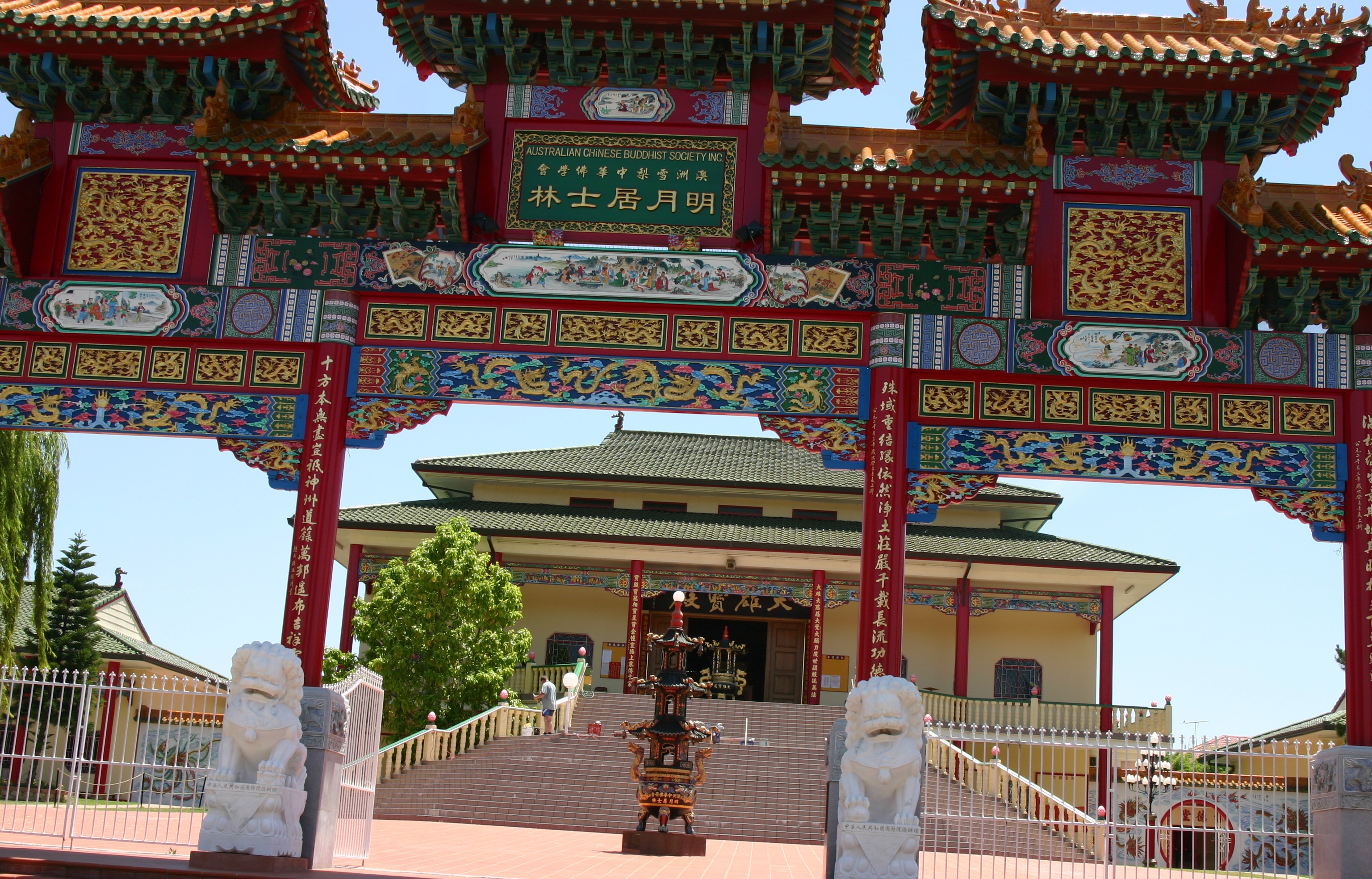
caption = The Buddhist temple located on Humphries Road, Bonnyrigg.
lga = City of Fairfield
postcode = 2177
pop =
est =
area =
propval =
stategov = Cabramatta
fedgov = Fowler
near-nw = Edensor Park
near-n = St Johns Park
near-ne = Cabramatta West
near-w = Bonnyrigg Heights
near-e = Mount Pritchard
near-sw = Green Valley
near-s = Heckenberg
near-se = Heckenberg
dist1 = 36
dir1 = west
location1= Sydney
Bonnyrigg is a suburb of Sydney, in the state of New South Wales, Australia. Bonnyrigg is located 36 kilometres west of the Sydney central business district, in the local government area of the City of Fairfield and is part of the Greater Western Sydney region.
History
Bonnyrigg takes its name from Bonnyrigg, Midlothian, Scotland. In 1803, Governor King granted land for the building of an orphanage. A two-storey Georgian house was erected in Brown Road and became the Male Orphan Schoolchildren's Residence. It was extended around 1914 and is now listed on the Register of the National Estate. [The Heritage of Australia, Macmillan Company, 1981, p.2/24]
Location
Bonnyrigg lies approximately 30 kilometres west of Sydney's central business district as the crow flies and about 36 kilometres by road. Its closest major regional centre is Liverpool. The suburb is shaped like a diamond. The suburbs of Mount Pritchard and Cabramatta West lie to the east on the other side of "Green Valley Creek". St Johns Park, Greenfield Park and Edensor Park lie to the north. Bonnyrigg Heights and Green Valley are to the west. Busby and Heckenberg lie to the south.
Commercial Area
Bonnyrigg Avenue has a large shopping centre, Bonnyrigg Plaza, as well as several community facilities. The local primary school is adjacent to Bonnyrigg Plaza. Bonnyrigg plaza is to be soon renovated.
Transport
The closest train station is Cabramatta, on the South line and Inner West line. There are bus links to Cabramatta Station and other nearby stations.
Bonnyrigg is served by several bus routes operated by Westbus and Oliveri’s MetroLink. Western Sydney Buses has a Liverpool to Parramatta transitway service, the T80, which operates via Bonnyrigg, stopping near Bonnyrigg Plaza.
Education
*Bonnyrigg High School
*Bonnyrigg Public School
port
Football
Bonnyrigg is home to the New South Wales Winter Super League football club Bonnyrigg White Eagles Football Club.
References
* [http://www.fairfieldcity.nsw.gov.au/default.asp?iDocID=57&iNavCatID=470&iSubCatID=470 Fairfield City Council] - The local council website profile for Bonnyrigg.
External links
Wikimedia Foundation.
2010.
Look at other dictionaries:
New South Wales Institute of Sport Football (Soccer) Program — New South Wales Institute of Sport Full name New South Wales Institute of Sport Football Program Ground Valentine Sports Park, Sydney Head Coach Ian Crook League New South Wales Premier … Wikipedia
New South Wales Premier League — NSW Premier League Verband Football NSW Erstaustragung 2001 Mannschaften 12 Teams Titelträger … Deutsch Wikipedia
Bonnyrigg Heights, New South Wales — Infobox Australian Place | type = suburb name = Bonnyrigg Heights city = Sydney state = nsw caption = lga = City of Fairfield postcode = 2177 pop = est = area = propval = stategov = Liverpool fedgov = Fowler near nw = Abbotsbury near n = Edensor… … Wikipedia
New South Wales Winter Super League — The New South Wales Winter Super League is the second highest state level men s association football division in New South Wales, Australia. The competition is conducted by Football NSW, the state s governing body.After the end of 2006, Penrith… … Wikipedia
New South Wales Premier League — Infobox sports league title = NSW Premier League current season = New South Wales Premier League 2008 pixels = 130px caption = sport = football (soccer) founded = 2001? fame = motto = inaugural = teams = 13 country = flagicon|AUS Australia… … Wikipedia
Busby, New South Wales — Infobox Australian Place | type = suburb name = Busby city = Sydney state = nsw caption = lga = City of Liverpool postcode = 2168 est = pop = area = propval = stategov = Liverpool fedgov = Fowler near nw = Green Valley near n = Bonnyrigg near ne … Wikipedia
Cabramatta, New South Wales — Infobox Australian Place | type = suburb name = Cabramatta city = Sydney state = nsw caption = Friendship Arch, Freedom Plaza lga = City of Fairfield postcode = 2166 est = pop = 19,812 (2006) area = propval = stategov = Cabramatta fedgov =… … Wikipedia
Abbotsbury, New South Wales — Infobox Australian Place | type = suburb name = Abbotsbury city = Sydney Property value = $565,000 median state = nsw caption = lga = City of Fairfield postcode = 2176 est = pop = 3,857 (2001 census) area = 1.3 propval = stategov = Smithfield… … Wikipedia
Heckenberg, New South Wales — Infobox Australian Place | type = suburb name = Heckenberg city = Sydney state = nsw caption = Heckenberg Public School lga = City of Liverpool postcode = 2168 est = pop = 2900 (2006) area = propval = stategov = Liverpool fedgov = Fowler near nw … Wikipedia
List of Government schools in New South Wales: A–F — The New South Wales Department of Education and Training (DET) is a department of the Government of New South Wales. In addition to other responsibilities, it operates primary schools and secondary schools throughout the state. Contents 1 A 2 B 3 … Wikipedia