- Alberta Highway 11
-
Highway 11

David Thompson Highway Route information Length: 321 km (199 mi) Major junctions West end:  Hwy 93 (Icefields Parkway) at Saskatchewan River Crossing
 Hwy 11A
 Hwy 22
 Hwy 20
 Hwy 2
Hwy 2
 Hwy 2A
 Hwy 21
East end:  Hwy 12 south of Alix
Location Rural municipalities: I.D. No. 9, Clearwater County, Lacombe County, Red Deer County, Stettler No. 6 County Major cities: Red Deer Towns: Rocky Mountain House, Sylvan Lake Highway system Provincial highways in Alberta
←  Hwy 10
Hwy 11A  →
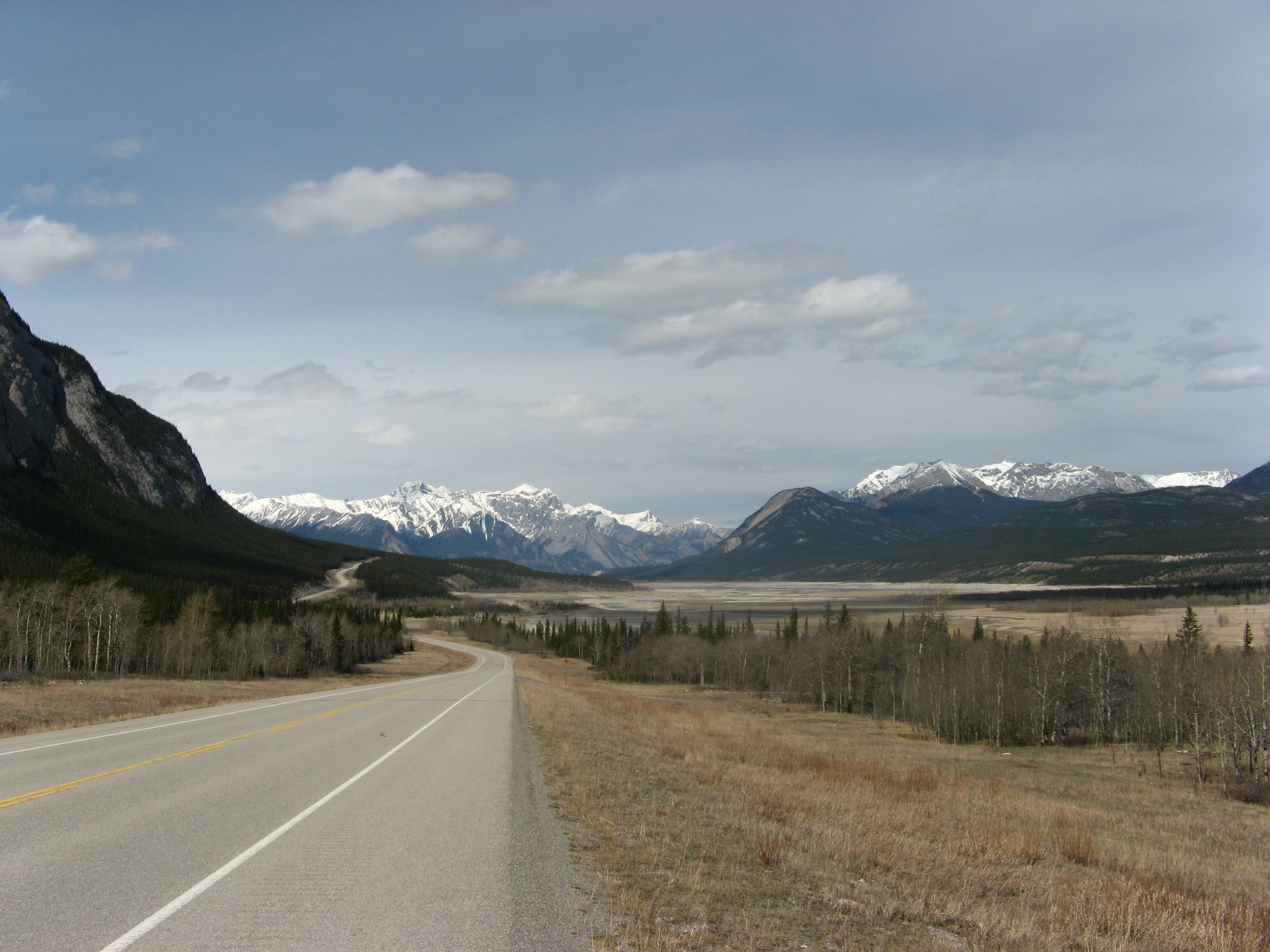
→ David Thompson Highway outside of Banff National Park
Highway 11 is a major highway in central Alberta. It is known as the David Thompson Highway, and runs from Saskatchewan River Crossing in Banff National Park east through Nordegg, Rocky Mountain House and Red Deer until it connects with Highway 12, 20 km west of Stettler.
It intersects Highway 734 at Nordegg, Highway 11A/Highway 756, Cowboy Trail at Rocky Mountain House, Highway 598, Highway 761, Highway 766, Queen Elizabeth II Highway at Red Deer's western city limits, Highway 2A within Red Deer, Highway 808, Highway 815, Highway 601, and Highway 21 at Nevis.
The portion of Highway 11 between the City of Red Deer and Highway 20 was recently upgraded to a four-lane divided highway due to high traffic volumes between Red Deer and Sylvan Lake.
The intersection of Highway 11 and Highway 781 is slated for reconfiguration to a right in, right out intersection in 2012 due to ongoing safety concerns and incidents at this location.[1]
Major intersections
From west to east:
km Description 0 Saskatchewan River Crossing
Hwy 93 – Lake Louise, Jasper
Highway 11 begins6 Exits Banff National Park
Highway 11 continues east and north along the North Saskatchewan River32 Passes by Abraham Lake 49 Passes through Cline River 88 Nordegg
 Hwy 734 – Waiparous, Cadomin, Hinton
109 Passes through Stolberg, then Alexo 167 Passes by Crimson Lake Provincial Park 169 Hwy 11A east – Rocky Mountain House
 Hwy 756 north – Crimson Lake Provincial Park
175 Hwy 22 north – Alder Flats, Drayton Valley
Highway 22 concurrency begins178 Rocky Mountain House
Hwy 11A west /  Hwy 752 south
 Hwy 598 east – Leslieville
187 Hwy 22 south – Caroline, Sundre, Cochrane
Highway 22 concurrency ends205  Hwy 761 – Caroline, Leslieville, Bluffton
219  Hwy 766
Highway 766 concurrency begins220 Hwy 766 – Eckville
Highway 766 concurrency ends240  Hwy 781 – Sylvan Lake, Innisfail
242 Hwy 20 north – Sylvan Lake, Bentley, Rimbey256 Hwy 2 (Exit 401) – Calgary, Edmonton
Highway 11 enters Red Deer as 67 Street260 Hwy 2A (Gaetz Avenue) – Blackfalds, Lacombe261 Crosses the Red Deer River 266 Leaves Red Deer city limits 276  Hwy 808 south
277 Crosses the Red Deer River 283  Hwy 815 north – Joffre, Ponoka
307  Hwy 601 north – Alix, Halkirk
316 Hwy 21 – Bashaw, Camrose, Three Hills321 Nevis
Hwy 12 – Lacombe, Stettler, Consort
Highway 11 ends1.000 mi = 1.609 km; 1.000 km = 0.621 mi
Concurrency terminus • Closed/Former • Incomplete access • UnopenedReferences
- ^ "Changes to Increase Safety of Highway 11 and 50th Street/Highway 781 Intersection: Memorial Trail Extension Approved". Town of Sylvan Lake. 2011-09-30. http://www.sylvanlake.ca/press-release/2011-09-30-Highway.pdf. Retrieved 2011-10-08.
External links
- 2010 Provincial Highways 1 - 216 Series Progress Chart (map, 8 MB) by Alberta Transportation.
- Mile by Mile. Alberta Highway # 11
Highways in Alberta 
Expressways
and FreewaysNamed
HighwaysAnthony Henday · Bicentennial · Bighorn · Bow Valley Parkway · Bow Valley Trail · Buffalo · Cowboy · Crowsnest · David Thompson · Devonian Way · Dinosaur · Forestry Trunk · Grizzly · Hoo Doo Trail · Icefields Parkway · Mackenzie · Northern Woods and Water Route · Parkland · Poundmaker · Queen Elizabeth II · Red Coat Trail · Sherwood Park Freeway · Stoney · Trans-Canada · Veterans Memorial · Yellowhead1-216 Series 1 · 1A · 1X · 2 · 2A · 3 · 3A · 4 · 5 · 6 · 7 · 8 · 9 · 10 · 10X · 11 · 11A · 12 · 13 · 13A · 14 · 15 · 16 · 16A · 17 · 18 · 19 · 20 · 20A · 21 · 22 · 22X · 23 · 24 · 25 · 26 · 27 · 28 · 28A · 29 · 31 · 32 · 33 · 35 · 36 · 37 · 38 · 39 · 40 · 41 · 41A · 42 · 43 · 44 · 45 · 47 · 49 · 50 · 52 · 53 · 54 · 55 · 56 · 58 · 59 · 60 · 61 · 62 · 63 · 64 · 64A · 66 · 68 · 69 · 72 · 88 · 93 · 93A · 100 · 201 · 216Categories:- Alberta Primary Highways, 1-216 series


Wikimedia Foundation. 2010.