- Dawes Point, New South Wales
-
Dawes Point
Sydney, New South Wales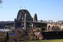
Sydney Harbour Bridge, viewed from Observatory HillPopulation: 344 (2001 census) Postcode: 2000 Area: 0.1 km² (0.0 sq mi) Location: 1 km (1 mi) north-west of Sydney CBD LGA: City of Sydney Parish: St. Philip State District: Sydney Federal Division: Sydney Suburbs around Dawes Point: Port Jackson Millers Point Dawes Point The Rocks Sydney CBD Dawes Point is a locality of Sydney's city centre, in the state of New South Wales, Australia. Dawes Point is located on the north-eastern edge of the Sydney central business district, at the southern end of Sydney Harbour Bridge, adjacent to The Rocks. It is part of the local government area of the City of Sydney. Sections of Dawes Point have been included as part of the The Rocks area in the past and some residents and businesses still use it in their address.
Contents
History
The area was originally known by the Aboriginal names of Tar-ra and Tullagalla. This was later changed to Point Maskelyne in honour of Reverend Dr Nevil Maskelyne, British Astronomer Royal. He sent out the first astronomical instruments which were established at the point in the country's first observatory, by Lieutenant William Dawes (1762-1836), astronomer with the First Fleet. The point was renamed in honour of Dawes.[1]
It was also the site of the first guns mounted in Sydney by Dawes in 1788, contained Sydney's first cemetery and later Dawes Point Battery. Walsh Bay was the site of Sydney's port facilities. The wharves were converted to apartments, theatres, restaurants, cafes and a hotel.
Cuture
The Sydney Theatre and The Wharf Theatre, which are part of the Sydney Theatre Company, are located in Dawes Point.
Gallery
-
The Sydney Theatre and The Wharf Theatre, which are part of the Sydney Theatre Company, are located in Dawes Point
-

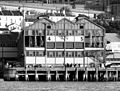
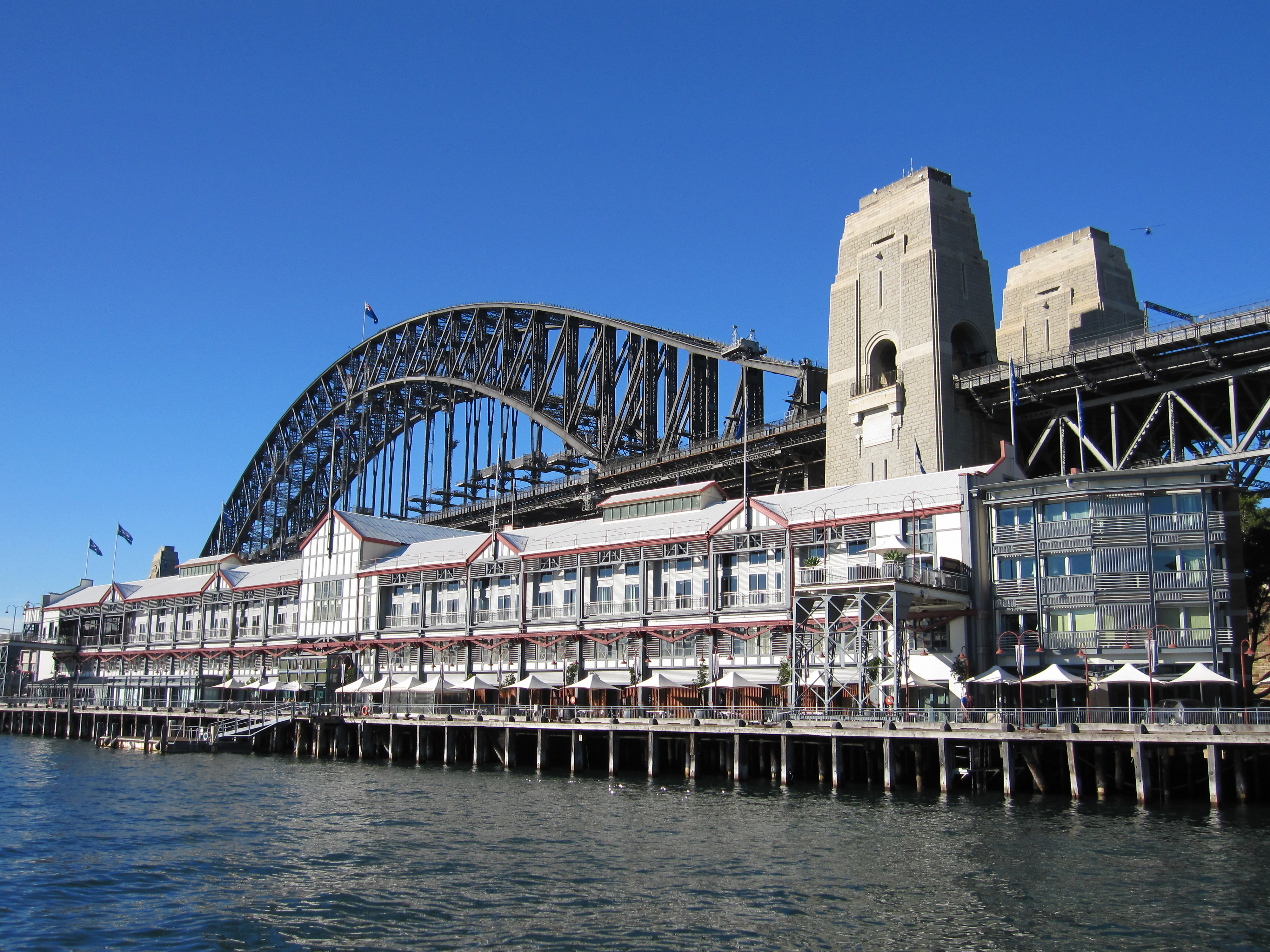
Pier One on Walsh Bay
-
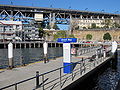
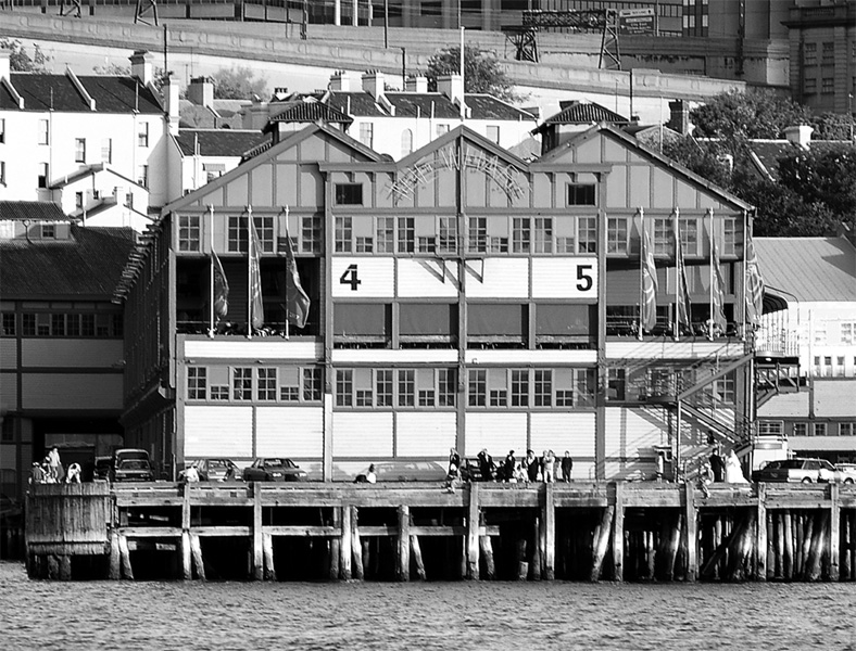
Walsh Bay ferry wharf
-
Southern approach of the Sydney Harbour Bridge with Dawes Point to the right.
References
- ^ The Book of Sydney Suburbs, Compiled by Frances Pollon, Angus & Robertson Publishers, 1990, Published in Australia ISBN 0-207-14495-8, page 81
External links
- Dawes Point, New South Wales is at coordinates 33°51′22″S 151°12′25″E / 33.856°S 151.207°ECoordinates: 33°51′22″S 151°12′25″E / 33.856°S 151.207°E
Suburbs and localities within the City of Sydney Suburbs Alexandria · Annandale · Barangaroo · Beaconsfield · Camperdown · Centennial Park · Chippendale · Darlinghurst · Darlington · Dawes Point · Elizabeth Bay · Erskineville · Eveleigh · Forest Lodge · Glebe · Haymarket · Millers Point · Moore Park · Newtown · Paddington · Potts Point · Pyrmont · Redfern · Rosebery · Rushcutters Bay · Surry Hills · Sydney CBD · The Rocks · Ultimo · Waterloo · Woolloomooloo · Zetland
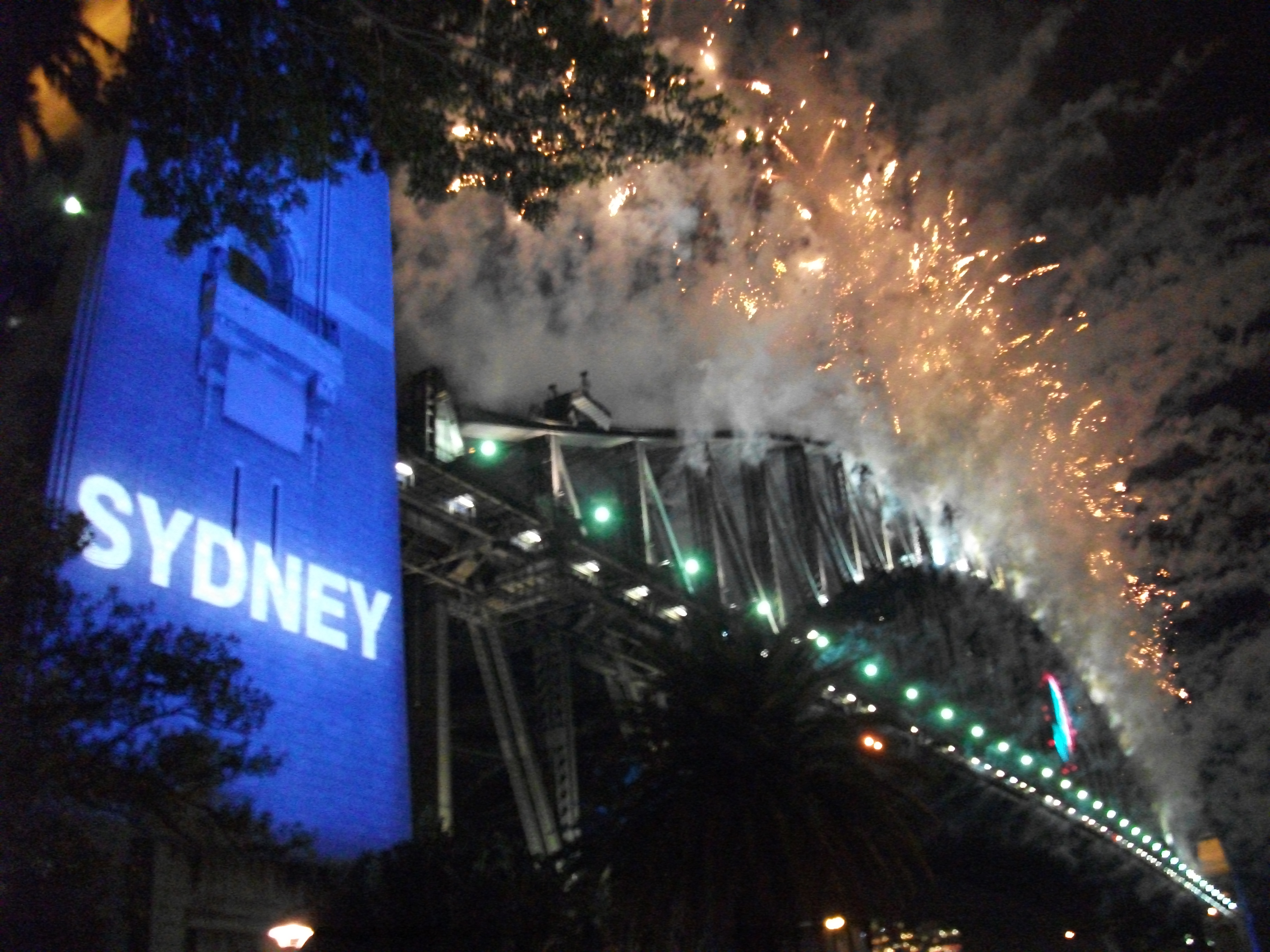
Localities List of Sydney suburbs Events 1996–97 · 1997–98 · 1998–99 · 1999–2000 · 2000–01 · 2001–02 · 2002–03 · 2003–04 · 2004–05 · 2005–06 · 2006–07 · 2007–08 · 2008–09 · 2009–10 · 2010–11 · 2011–12
Venues Main venuesOther vantage pointsRelated Bridge Effect · 9pm Family Fireworks · Midnight FireworksCategories:- Suburbs of Sydney
- Sydney geography stubs
- Sydney New Year's Eve
-


Wikimedia Foundation. 2010.