- Prince Charles Mountains
-
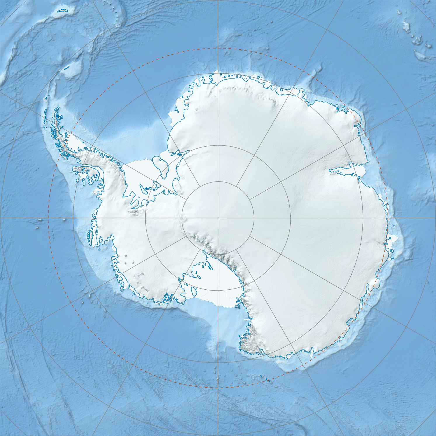
 Prince Charles MountainsPrince Charles Mountains in eastern Antarctica
Prince Charles Mountains is a major group of mountains in Mac. Robertson Land in Antarctica, including the Athos Range, the Porthos Range, and the Aramis Range. The highest peak is Mount Menzies (3228 m). Other prominent peaks are Mount Izabelle and Mount Stinear (1950 m). These mountains together with other scattered peaks form an arc about 260 miles long, extending from the vicinity of Mount Starlight in the north to Goodspeed Nunataks in the south.[1]
These mountains were first observed and photographed from a distance by airmen of USN Operation Highjump, 1946-47. They were examined by several ANARE (Australian National Antarctic Research Expeditions) parties and mapped in the years 1954-61.[1] They have been found to contain large deposits of iron ore.[2]They were named by ANCA in 1956 for Prince Charles, heir apparent to the thrones of the Commonwealth realms.[1]
Contents
List of mountains
- Mount Bayliss (73°32′S 62°44′E / 73.533°S 62.733°E) is a relatively low mountain, extending 9 nautical miles (17 km) in an east-west direction, standing 6 nautical miles (11 km) east of Mount Menzies. Observed from ANARE aircraft in 1957 and seen in the same year by an ANARE ground party under K.B. Mather. Named by ANCA for E.P. Bayliss, Australian cartographer, who drew the map of Antarctica published in 1939 by the Property and Survey Branch, Dept. of Interior, Canberra.[3]
- Mount Gibson (71°20′S 66°20′E / 71.333°S 66.333°E) is a small mountain about 2.5 nautical miles (4.6 km) west of Mount Cameron and 3 nautical miles (6 km) south of Schmitter Peak. Plotted from ANARE air photos taken in 1956 and 1960. Named by ANCA after P.R. Gibson, plumber at Wilkes Station in 1965.[4]
- Mount Izabelle (72°10′S 66°30′E / 72.167°S 66.5°E) is a bare rock mountain standing 12 miles (19 km) southwest of the Shaw Massif. Discovered from an ANARE Beaver aircraft on November 28, 1956, while engaged in aerial photography. Named by ANCA for B. Izabelle, weather observer at Mawson Station in 1957.[5]
- Mount Rymill (73°03′S 65°50′E / 73.05°S 65.833°E) is a fairly massive mountain with an undulating surface marked by extensive formation of stone polygons, standing 6 mi W of Mount Stinear. Photographed from the air by ANARE, 1956-58. Named by ANCA for John Riddoch Rymill, leader of the British Graham Land Expedition, 1934-37.[6]
- Schmitter Peak (71°16′S 66°21′E / 71.267°S 66.35°E) is a small mountain peak about 3 mi SW of Mount Woinarski. Plotted from ANARE air photos taken in 1956 and 1960. Named by ANCA for U. Schmitter, cook at Davis Station in 1964.[7]
- Shaw Massif (72°01′S 66°51′E / 72.017°S 66.85°E) is a fairly flat-topped rock massif (1,355 m) on the west margin of Lambert Glacier standing 20 km (12 mi) south of Mount Willing. Sighted in November 1956 from an ANARE aircraft. Named by ANCA for Bernard Shaw, radio supervisor at Mawson Station in 1957.[8]
- Simon Ridge (71°03′S 65°30′E / 71.05°S 65.5°E) is an arc-shaped rock ridge about 13 km (8 mi) southeast of Husky Massif. Plotted from ANARE air photos taken in 1960. Named for M.J. Simon, radio officer at Wilkes Station in 1962.[9]
- Mount Stinear (73°04′S 66°24′E / 73.067°S 66.4°E) is a prominent rock peak on a large massif rising to 1,950 metres (6,398 ft), standing just east of Mount Rymill at the junction of Fisher Glacier and Lambert Glacier. It was mapped from air photos taken by the RAAF Antarctic Flight in 1956, and first visited in October 1957 by an ANARE party led by Bruce H. Stinear, geologist at Mawson Station, for whom it is named.[10]
See also
Namesakes
Notes
- ^ a b c "Prince Charles Mountains". Geographic Names Information System, U.S. Geological Survey. http://geonames.usgs.gov/pls/gnispublic/f?p=gnispq:5:::NO::P5_ANTAR_ID:12088. Retrieved 2005-09-28.
- ^ Antarctica: An Encyclopedia from Abbot Ice Shelf to Zooplankton, Firefly, 2002. ISBN 1-55297-590-8.
- ^ "Mount Bayliss". Geographic Names Information System, U.S. Geological Survey. http://geonames.usgs.gov/pls/gnispublic/f?p=gnispq:5:::NO::P5_ANTAR_ID:1099. Retrieved 2010-09-23.
- ^ U.S. Geological Survey Geographic Names Information System: Prince Charles Mountains
- ^ "Mount Izabelle". Geographic Names Information System, U.S. Geological Survey. http://geonames.usgs.gov/pls/gnispublic/f?p=gnispq:5:::NO::P5_ANTAR_ID:7420. Retrieved 2008-03-20.
- ^ "Mount Rymill". Geographic Names Information System, U.S. Geological Survey. http://geonames.usgs.gov/pls/gnispublic/f?p=gnispq:5:::NO::P5_ANTAR_ID:13102. Retrieved 2010-10-17.
- ^ "Schmitter Peak". Geographic Names Information System, U.S. Geological Survey. http://geonames.usgs.gov/pls/gnispublic/f?p=gnispq:5:::NO::P5_ANTAR_ID:13392. Retrieved 2010-10-17.
- ^ "Shaw Massif". Geographic Names Information System, U.S. Geological Survey. http://geonames.usgs.gov/pls/gnispublic/f?p=gnispq:5:::NO::P5_ANTAR_ID:13676. Retrieved 2008-01-02.
- ^ "Simon Ridge". Geographic Names Information System, U.S. Geological Survey. http://geonames.usgs.gov/pls/gnispublic/f?p=gnispq:5:::NO::P5_ANTAR_ID:13845. Retrieved 2008-03-16.
- ^ "Mount Stinear". Geographic Names Information System, U.S. Geological Survey. http://geonames.usgs.gov/pls/gnispublic/f?p=gnispq:5:::NO::P5_ANTAR_ID:14609. Retrieved 2005-09-28.
Coordinates: 72°0′S 67°0′E / 72°S 67°E
External links
 This article incorporates public domain material from websites or documents of the United States Geological Survey.Categories:
- Mountain ranges of Mac. Robertson Land
Wikimedia Foundation. 2010.