- Nieuwe Maas
-
Nieuwe Maas New Meuse River  Nieuwe Maas in the heart of Rotterdam
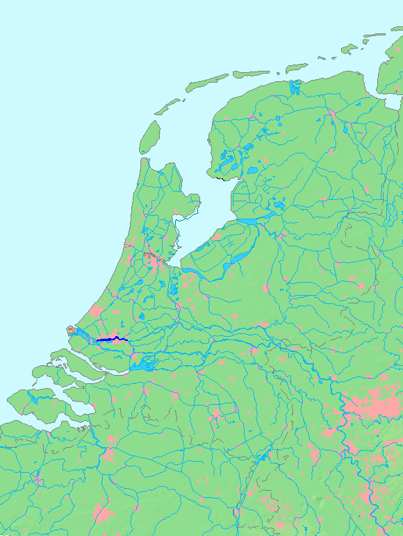
Country Netherlands Source Lek / Noord - location Ridderkerk Mouth Het Scheur - location Vlaardingen Length 24 km (15 mi)  Location of Nieuwe Maas in dark blue.
The Nieuwe Maas ("New Meuse") distributary of the Rhine River, and a former distributary of the Maas River, in the Dutch province of South Holland. It runs from the confluence of the rivers Noord and Lek, and flows west through Rotterdam. It ends west of the city where it meets the Oude Maas (Old Meuse), near Vlaardingen, to form Het Scheur. The total length is approximately 24 kilometers.
Geography
 Satellite image showing the Nieuwe Maas going through Rotterdam. Also visible are the confluence of the Noord and Lek rivers (right edge) and the Oude Maas (bottom of the image).
The Nieuwe Maas flows through some of the most densely populated and developed areas in the Netherlands. Along its shores are numerous harbours and industries.
History
During the early Middle Ages the river was considered to be the continuation of the Merwede river (itself a distributary branch of the Rhine) and was named accordingly. However, during the 13th century a series of floods forced the Maas to shift its main course north towards the Merwede. From then on, several stretches of the original Merwede were named Maas instead and served as the primary outflow of that river. Those branches are currently known as the Nieuwe Maas and Oude Maas. For several centuries the Nieuwe and Oude Maas were considered part of the Maas delta. Near Vlaardingen, these two met and then split again at the island of Rozenburg: the north branch was known as Het Scheur and the south branch as either Nieuwe Maas or Brielse Maas because it flowed close to Brielle. Het Scheur and the Brielse Maas then met again to form an estuary known as Maasmond ("Mouth of Meuse").
 Nieuwe Maas and its mouth in 1769.
However, during another series of severe floods the Maas found an additional path towards the sea, resulting in the creation of the Biesbosch wetlands and Hollands Diep estuaries. Thereafter, the Maas split near Heusden into two main distributaries, one flowing north to join the Merwede, and one flowing directly to the sea. This diminished the influence of the Maas on the Oude and Nieuwe Maas distributaries. The branch of the Maas leading directly to the sea eventually silted up, (and now forms the Oude Maasje stream), but in 1904 the canalised Bergse Maas was dug to take over the functions of the silted-up branch. At the same time, the branch leading to the Merwede was damned at Heusden, (and has since been known as the Afgedamde Maas) so that little water from the Maas now enters the old Maas estaury, or the Rhine distributaries. The resulting separation of the rivers Rhine and Maas is considered to be the greatest achievement in Dutch hydraulic engineering before the completion of the Zuiderzee Works and Delta Works. Since then, the vast majority of the flow of the Oude and Nieuwe Maas come from the Rhine, and not the Maas.
With the completion of the Nieuwe Waterweg, the Brielse Maas no longer reaches the sea as a primary outflow for the river Rhine. The Brielse Maas section was dammed off from Het Scheur in the middle of the 20th century (now forming Briel Lake), forcing all waters to flow through the artificial Nieuwe Waterweg.
Links across the Nieuwe Maas
 The Erasmusbrug ("Erasmus Bridge") across the Nieuwe Maas in Rotterdam.
From west to east:
- Beneluxtunnel (tunnel; motor vehicles, cyclists and metro)
- Maastunnel (tunnel; motor vehicles, cyclists, pedestrians)
- Erasmusbrug (bridge; motor vehicles, cyclists, pedestrians, trams)
- Maastaxi (ferry; pedestrians)
- Metrotunnel (tunnel; metro)
- Willemstunnel (tunnel; train)
- Willemsbrug (bridge; motor vehicles, cyclists, pedestrians)
- Van Brienenoordbrug (bridge; motor vehicles, cyclists, pedestrians)
Coordinates: 51°54′N 4°20′E / 51.9°N 4.333°E
Rhine
Rijn
RhinCurrent distributaries: Waal · Nederrijn · IJssel · Lek · Merwede · Boven Merwede · Nieuwe Merwede · Beneden Merwede · Oude Maas · Dordtsche Kil · Noord · Nieuwe Maas · Het Scheur · Nieuwe Waterweg
Associated canals: Bijlands Kanaal · Pannerdens Kanaal · Amsterdam–Rhine Canal · Vaartse Rijn · Nieuwe Merwede · Nieuwe Waterweg · Scheldt–Rhine Canal · Maas-Waal Canal
Former distributaries: Kromme Rijn · Leidse Rijn · Oude Rijn · Hollandse IJssel · Vecht · Brielse Maas · Spui
Current estuaries: Nieuwe Waterweg · IJsselmeer
Former estuaries: Hollands Diep · Haringvliet · Volkerak · Krammer · Grevelingen · Keeten-Mastgat · OosterscheldeMeuse
MaasCurrent distributaries: Bergse Maas · Amer
Associated canals: Heusden Canal · Bergse Maas · Maas-Waal Canal
Former distributaries: Oude Maasje · Afgedamde Maas · Merwede · Boven Merwede · Beneden Merwede · Oude Maas · Dordtsche Kil · Noord · Nieuwe Maas · Het Scheur · Nieuwe Waterweg
Current estuaries:
Former estuaries: Hollands Diep · Haringvliet · Volkerak · Krammer · Grevelingen · Keeten-Mastgat · OosterscheldeScheldt
Schelde
EscautCurrent distributaries: Western Scheldt
Associated canals: Scheldt–Rhine Canal
Former distributaries: Oosterschelde · Eendracht
Current estuaries: Western Scheldt
Former estuaries: Oosterschelde · Krammer · GrevelingenOther rivers
(directly draining
into the delta)Islands and
PeninsulasTowns Rotterdam · Antwerp · Dordrecht · Bergen-op-Zoom · Schiedam · Vlissingen · Vlaardingen · Middelburg · SpijkenisseOther topics Delta Works · Verdronken Land van Reimerswaal · Verdronken Land van Saeftinghe · St. Elizabeth's flood (1421) · St. Felix's Flood · All Saints' Flood (1570)Categories:- Rivers of the Netherlands
- Rhine–Meuse–Scheldt delta
- Rotterdam
- Distributaries


Wikimedia Foundation. 2010.