- Rodovia Marechal Cândido Rondon
-
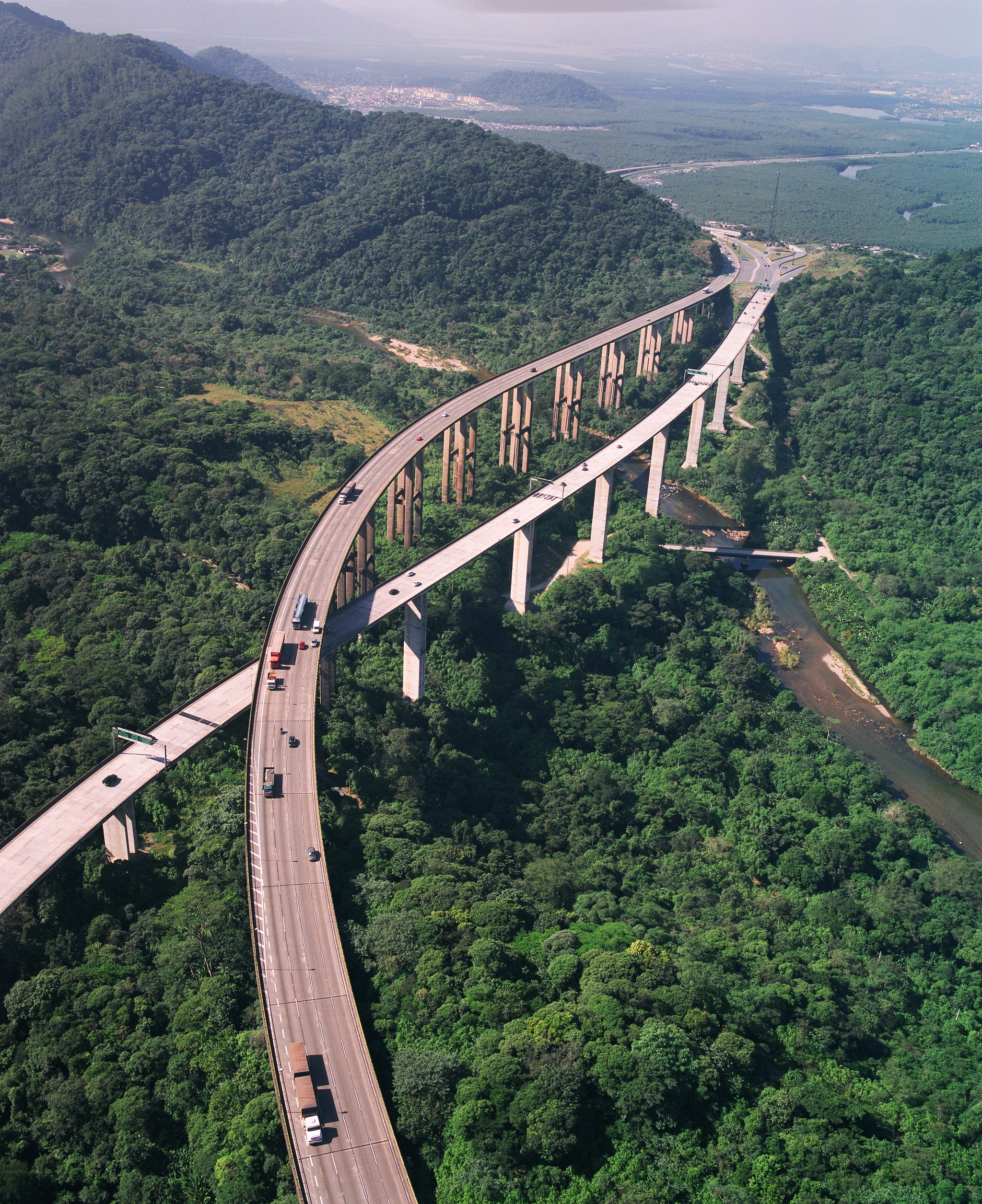
 A view of Rodovia Marechal Rondon near São Manuel
 Map of the route of Marechal Cândido Rondon Highway (in red)
Rodovia Marechal Cândido Rondon (officially designated SP-300) is a highway in the state of São Paulo, Brazil.
It is one of the most recent highways of the state, and connects several cities, running in the North-Northwest direction, starting in Jundiai and serving the cities of Itu, Porto Feliz, Tietê, Laranjal Paulista, Conchas, Botucatu, São Manuel, Areiópolis, Lençois Paulista, Agudos, Bauru, Avaí, Lins, Penápolis, Birigui, Araçatuba, Andradina and Três Lagoas, until it reaches the border with the state of Mato Grosso do Sul, by the Paraná River. It is the second longest highway in São Paulo, with 620 km.
It was named after Brazilian hero and protector of Indians, Marshal Cândido Rondon.
The highway is managed and maintained by the Department of Roads of the state (DER). Toll is not required.
See also
 Highways of São Paulo
Highways 008 • 010 • 015 • 019 • 021 • 023 • 029 • 031 • 036 • 039 • 041 • 042 • 043 • 046 • 048 • 050 • 052 • 054 • 055 • 056 • 057 • 058 • 059 • 060 • 061 • 062 • 063 • 064 • 065 • 066 • 068 • 070 • 071 • 073 • 075 • 077 • 079 • 081 • 083 • 088 • 091 • 092 • 095 • 097 • 098 • 099 • 101 • 102 • 103 • 105 • 107 • 113 • 121 • 122 • 123 • 125 • 127 • 129 • 131 • 132 • 133 • 135 • 139 • 141 • 143 • 147 • 148 • 150 • 151 • 153 • 157 • 160 • 165 • 167 • 171 • 176 • 181 • 183 • 189 • 191 • 193 • 197 • 201 • 207 • 209 • 211 • 214 • 215 • 216 • 221 • 222 • 225 • 226 • 228 • 230 • 234 • 245 • 247 • 249 • 250 • 251 • 252 • 253 • 255 • 257 • 258 • 259 • 261 • 264 • 266 • 267 • 268 • 270 • 271 • 272 • 273 • 274 • 275 • 276 • 278 • 280 • 281 • 284 • 287 • 291 • 293 • 294 • 300 • 303 • 304 • 305 • 308 • 310 • 312 • 315 • 316 • 317 • 318 • 319 • 320 • 321 • 322 • 323 • 325 • 326 • 327 • 328 • 331 • 332 • 333 • 334 • 336 • 338 • 340 • 342 • 344 • 345 • 346 • 348 • 349 • 350 • 351 • 352 • 353 • 354 • 355 • 360 • 373 • 375 • 377 • 379 • 383 • 385 • 387 • 413 • 419 • 421 • 423 • 425 • 427 • 437 • 457 • 461 • 463 • 473 • 479 • 483 • 487 • 501 • 527 • 541 • 543 • 557 • 561 • 563 • 595 • 613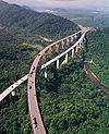
Rodovias Anchieta • Anhangüera • Bandeirantes • Washington Luís • Marechal Rondon • Castelo Branco • Raposo Tavares • Imigrantes • Ayrton Senna • D. Pedro I • Adhemar de Barros • José Ermírio de Moraes • Luís Augusto de Oliveira • Dr. Paulo Lauro • Deputado Vicente Botta • Thales de Lorena Peixoto Júnior • Brigadeiro Faria Lima • Tamoios • Oswaldo Cruz • Mogi-Bertioga • Carvalho Pinto • Manuel da Nóbrega • Piaçagüera-Guarujá • João Mellão • Régis Bittencourt • Fernão Dias • Presidente Dutra • Estrada da Rhodia • Transbrasiliana • RodoanelCategories:- Highways in São Paulo (state)
- Brazil road stubs


Wikimedia Foundation. 2010.