Mare Cognitum

Mare Cognitum
Mare Cognitum
Mcognitum.jpg
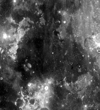
Mare Cognitum. Fra Mauro is the gray region in the upper right.
Coordinates 10°00′S 23°06′W / 10.0°S 23.1°W / -10.0; -23.1Coordinates: 10°00′S 23°06′W / 10.0°S 23.1°W / -10.0; -23.1
Diameter 376 km[1]
Eponym Sea That Has Become Known, or Known Sea

Mare Cognitum (the "sea that has become known") is a lunar mare located in a basin or large crater which sits in the second ring of the Procellarum basin. The basin material is of the Lower Imbrian epoch, while the basaltic mare material is of the Upper Imbrian epoch. To the northwest of the mare is the Montes Riphaeus mountain range, part of the rim of the buried crater or basin containing the mare. It is so named for all of the space probes that had landed there previously (Luna 5, Ranger 7, Surveyor 3, Apollo 12).

The Fra Mauro formation, the landing site of Apollo 14, is located near Mare Cognitum.

References

  1. ^ "Moon Mare/Maria". Gazetteer of Planetary Nomenclature. USGS Astrogeology. http://planetarynames.wr.usgs.gov/SearchResults?target=MOON&featureType=Mare%2C%20maria. Retrieved 2010-08-20. 


Wikimedia Foundation. 2010.

Игры ⚽ Нужно решить контрольную?

Look at other dictionaries:

  • Mare Cognitum — (lat. „Bekanntes Meer“) ist ein kleines Mondmeer, das den Südosten des Oceanus Procellarum Beckens bildet und etwas westlich der sichtbaren Mondmitte liegt. Es hat einen mittleren Durchmesser von 376 km und grenzt im Nordwesten an das Gebirge… …   Deutsch Wikipedia

  • Mare Cognitum — (La mer de la Connaissance) est une mare lunaire située sur le deuxième anneau du bassin Procellarum. Le bassin remonte à l imbrien inférieur, tandis que le matériau basaltique date de l imbrien supérieur. La chaîne de montagne Montes Riphaeus se …   Wikipédia en Français

  • Mare Cognitum — Mare Cognitum. Fra Mauro es a región gris arriba a la derecha. Coordenadas 10.0° S, 23.1° O Diámetro …   Wikipedia Español

  • Mare Insularum — Mare Insularum, bordered by the craters Copernicus on the east, and Kepler on the west. Oceanus Procellarum joins the mare to the southwest. The northern edge of Mare Cognitum is visible at the bottom of the photo, and Fra Mauro is the grey patch …   Wikipedia

  • Mare Nubium — Coordenadas 21.3° S, 16.6° O Diámetro 715 km …   Wikipedia Español

  • Mare Nubium — Das Strahlensystem des Kraters Tycho (unten) überzieht das Mare Nubium (oben) mit einigen hel …   Deutsch Wikipedia

  • Mare Insularum — Mare Insularum. Rechts und links der Bildmitte die hellen Strahlenkrater Kopernikus und Kepler. Das Mare Insularum – lateinisch für Inselmeer – ist ein Randmeer des Oceanus Procellarum auf dem Mond. Der Name wird noch wenig verwendet, weil die… …   Deutsch Wikipedia

  • Mare Insularum — Mare Insularum, rodeado por los cráteres Copérnico al este, y Kepler al oeste. El Oceanus Procellarum se une al mar en el suroeste. El borde norte del Mare Cognitum es visible al final de la imagen. Coordenadas …   Wikipedia Español

  • Mare Moscoviense — Coordinates …   Wikipedia

  • Mare Serenitatis — Photograph of Mare Serenitatis Coordinates …   Wikipedia

Share the article and excerpts

Direct link
Do a right-click on the link above
and select “Copy Link”