- Rousay
-
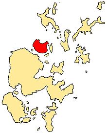
Rousay Location 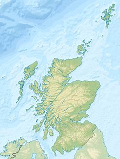
 Rousay
Rousay shown within Scotland OS grid reference HY407309 Names Norse name Hrólfsey Meaning of name Old Norse for "Hrolf's island" Area and summit Area 4,860 hectares (18.8 sq mi) Area rank 23 Highest elevation Blotchnie Fiold 249 metres (817 ft) Population Population 212 Population rank 30= out of 97 Main settlement Banks Groupings Island group Orkney Local Authority Orkney Islands 

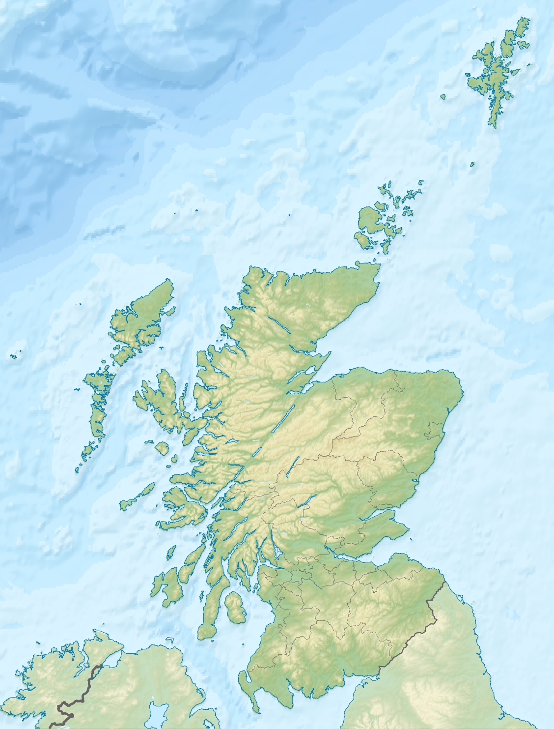
References [1][2][3][4][5][6] If shown, area and population ranks are for all Scottish islands and all inhabited Scottish islands respectively. Population data is from 2001 census. Rousay (Old Norse: Hrólfsey meaning Rolf's Island) is a small, hilly island about 3 km (1.9 mi) north of Orkney's Mainland, off the north coast of Scotland, and has been nicknamed "the Egypt of the north", due to its tremendous archaeological diversity and importance.
It is separated from mainland Orkney by the Eynhallow Sound, and, like its neighbours Egilsay and Wyre, can be reached by a ro-ro ferry (MV Eynhallow) from Tingwall, on the mainland of Orkney, which takes 20–25 minutes. This service is operated by Orkney Ferries, and can take up to 95 passengers (reduced to 50 in winter), and 10 cars. The ferry links the islands of Rousay, Egilsay, and Wyre with each other, and with the mainland of Orkney.[7]
Contents
Geography and natural history

In the 2001 census, it had a population of 212 people. Most employment opportunities are in farming, fishing or fish-farming; there are also craft businesses and some seasonal tourism-related work. There is one circular road round the island, about 23 kilometres (14 mi) long, and most arable land lies in the few hundred yards between this and the coastline. With an area of 4,860 hectares (18.8 sq mi), it is the fifth largest of the Orkney Islands.
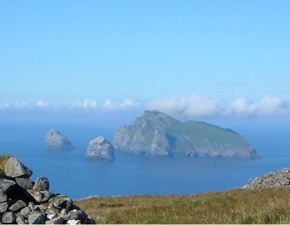
Rousay is a 'Site of Special Scientific Interest' with notable cliff formations and wildflower colonies, and has an RSPB bird reserve. The hilliest Orkney island after Hoy, it offers good views of neighbouring islands from Blotchnifiold 249 metres (817 ft), and Keirfea or Knitchen (both over 229 metres (750 ft)).
Summertime brings visitors drawn by its natural beauty and wildlife, including Rousay's seals and otters, and by its archaeological remains, especially the cluster of important sites connected by a footpath near the western shore.
History
The island has evidence from every stage in the history of Orkney, with a Neolithic settlement at Rinyo, Bronze Age burnt mounds, Iron Age crannogs and brochs (the highest density anywhere in Scotland: three within 500 metres (547 yd) of coastline), Viking boat burials, remains of a medieval church and the stately home at Trumland.
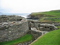 Midhowe Broch on the west coast of Rousay
Over 100 archaeological sites have been identified, but only a small fraction of them have been excavated and researched. The best known and most spectacular of the island's archaeological sites is the complex of Midhowe broch and Midhowe Chambered Cairn. Blackhammer Chambered Cairn, Taversoe Tuick, and Yarso are also important tombs on the island.
Rousay placenames reflect its Norse heritage. 'Hrólfs-øy' or 'Hrolfsey' was based on the male name 'Hrolf' (Rolf). Hugh Marwick's work has shown the name developing from 'Rollesay' in the 14th century, through 'Rolsay' in the 15th, and 'Rowsay' in the early 16th, with the spelling 'Rousay' first recorded in 1549.[8]
 Cliffs in Saviskaill Bay, looking northward to Westray
Most Rousay people have always earned their living from farming and/or fishing. In the 19th century, records show there were also tradespeople supplying the needs of a rural community: blacksmiths and joiners, shoemakers and shopkeepers, with women doing dressmaking and straw plaiting. Throughout the century, Rousay's landlords demanded high rents from crofters, many of whom were made homeless in a series of clearances along the western coast, ordered by landowner George William Traill in the 1820s and 1830s.
Traill's nephew General Sir Frederick Traill-Burroughs inherited much of the island and bought more. Traill-Burroughs built a large house at Trumland, designed by David Bryce of Edinburgh[9]. From 1870-1883, there were a large number of improvements; the building of Trumland pier, island schools, a public market, the first steamship service, a post office, and the first resident doctor. He was known locally as 'the little general' as he was a man of short stature and the poet Edwin Muir recalled in a memoir of his childhood seeing the little general walking around his estates[10].
Rousay's population in the mid-19th century was over 900, but emigration following land clearances reduced that to 627 by 1900, and half a century later it had fallen to 342. Depopulation accelerated, and in the next twenty years the number fell to 181, its lowest ever. From the 1970s onward new families started to settle on Rousay: most came from the south, especially from England. The population is now over 200.
Local education
There is a primary school,[11] which provides education for boys and girls aged 3 to 12, and has a school roll of 24. Once a child completes his/her primary education, they must then move up to secondary school. Kirkwall Grammar School, Kirkwall, is the usual school, however, in recent years, Stromness Academy, Stromness, has been the secondary school of choice for many of the pupils.
Many of the pupils, both primary and secondary, are entitled to free school transport on the island.
Residents
The poet Pauline Stainer spent several years on the island, and in 1999 published a collection of her poems about Rousay, Parable Island.
Robert C. Marwick is a local author whose publications include From My Rousay Schoolbag; Rousay Roots (1995); In Dreams We Moor (2000) ISBN: 1-899851-04-6. Marwick was born on the farm of Innister, in the Wasbister district of Rousay.
The astronomer,[12] musician and writer, John Vetterlein first came to Rousay in 1970[13] and has lived on the island full-time since 1995. He established the small publishing house Spring Ast LIX in 1997, whose publications include: Braes Woodland Diary - the First Ten Years by Ann Chapman.[14]
The actor Graham Fellows owns a disused church on the Orkney island, which he intends to turn into an "artists refuge".[15]
The late artist Margaret Gardiner spent a large part of her life on Rousay and founded, in 1979 the Pier Art Gallery in Stromness.
References
- ^ 2001 UK Census per List of islands of Scotland
- ^ Haswell-Smith, Hamish (2004). The Scottish Islands. Edinburgh: Canongate. ISBN 1841954543.
- ^ Orkney Placenames
- ^ Ordnance Survey
- ^ Anderson, Joseph (Ed.) (1893) Orkneyinga Saga. Translated by Jón A. Hjaltalin & Gilbert Goudie. Edinburgh. James Thin and Mercat Press (1990 reprint). ISBN 0-901824-25-9
- ^ Pedersen, Roy (January 1992) Orkneyjar ok Katanes (map, Inverness, Nevis Print)
- ^ "M.V. Eynhallow" (PDF). http://www.orkneyferries.co.uk/pdfs/ferries/eynhallow.pdf. Retrieved 2007-07-27.
- ^ Marwick, Hugh (1947) The Place-names of Rousay.
- ^ http://www.familyauld.org.uk/trumland.htm
- ^ http://www.familyauld.org.uk/trumland.htm
- ^ "Rousay Primary School". http://www.rousay.orkney.sch.uk/. Retrieved 2007-06-05.
- ^ John Vetterlein. "Sky Notes: Mercury/Saturn Conjunction October 08 2009". http://www.orcadian.co.uk/skynotes/index.html. Retrieved 2009-09-09.
- ^ John Vetterlein. Cobbett’s Field. ISBN 9781434352866.
- ^ Chapman, Ann (2004) Braes Woodland Diary – The First Ten Years. Charting the progress and involvement of an island’s community in growing trees. Orkney. Spring Ast LIX. ISBN 1-902582-50-0
- ^ "Graham Fellows: My icy, windswept island paradise". The Independent. Retrieved 21 June 2011.
External links
- AroundRousay.co.uk: Information on the island of Rousay
- Rousay Roots - Rousay history
- Visit Orkney: Orkney Tourist Board: Rousay
- Visit Rousay: Overview of Rousay
Coordinates: 59°10′N 3°02′W / 59.167°N 3.033°W
Prehistoric Orkney World Heritage Site Other Neolithic Sites Barnhouse Settlement · Blackhammer Chambered Cairn · Castle Bloody · Dwarfie Stane · Holm of Papa Westray · Knap of Howar · Links of Noltland · Midhowe Chambered Cairn · Mor Stein · Rinyo · Rousay · Tomb of the Eagles · Unstan Chambered Cairn · Unstan ware · Westray WifeIron Age Sites North West Orkney Islands · Brough of Birsay · Damsay · Eday · Egilsay · Eynhallow · Faray · Gairsay · Holm of Faray · Holm of Papa · Holm of Scockness · Kili Holm · Papa Westray/Papay · Rousay · Rusk Holm · Sweyn Holm · Westray · Wyre ·
Orkney Inhabited Islands Mainland · Auskerry · Burray · Eday · Egilsay · Flotta · Gairsay · Graemsay · Hoy · North Ronaldsay · Papa Stronsay · Papa Westray · Rousay · Sanday · Shapinsay · South Ronaldsay · South Walls · Stronsay · Westray · WyreOther Islands Eynhallow · Helliar Holm · Lamb Holm · Switha · Swona · North West islands · North East islands · South West islands · South East islandsTowns and Villages Mainland Parishes Topics Islands of Scotland Northern Isles 
Hebrides Other Categories:- Archaeological sites in Orkney
- Islands of the Orkney Islands
- Sites of Special Scientific Interest in Orkney


Wikimedia Foundation. 2010.