- Clwydian Range
-
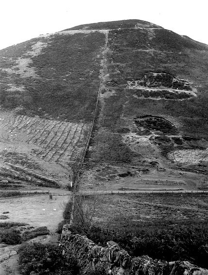
 Moel Arthur, one of the Clwydian Range's hill forts. Seen from Moel Llys-y-Coed
The Clwydian Range (Welsh: Bryniau Clwyd) is a series of hills and mountains in north east Wales that runs from Llandegla in the south to Prestatyn in the north, with the highest point being the popular Moel Famau. The range is designated as an area of outstanding natural beauty.
The summits of these hills provide extensive views across north Wales, to the high peaks of Snowdonia, eastwards across the Cheshire Plain, Peak District and towards Manchester and Liverpool to the northeast. There have been proposals to extend the AONB to include places like Llantysilio Mountain and Ruabon Moors.
Contents
Geology
The Clwydian Hills are formed from an upstanding block of Silurian age sandstones, mudstones and siltstones. The range's rocks are intensely faulted; the major Vale of Clwyd Fault is responsible for the impressive west-facing scarp of the Clwydian Range. It downthrows the rocks to the west and separates the younger Carboniferous and Permo-Triassic rocks of the Vale of Clwyd from those of the hills.[1]
Archaeology
The range includes a number of hills possessing Iron Age hill forts, including (from the north) Y Foel (Moel Hiraddug), Moel-y-gaer, Penycloddiau, Moel Arthur, a second Moel y Gaer and Foel Fenlli. There are, as with many places in the west of Britain, a number of legends associated with King Arthur surrounding these hills.
There are in addition a number of tumuli and cairns which adorn these hills. [2]
Wildlife
A wide range of wildlife thrives in the Range, including the red kite. The red fox is also spotted from time to time. They both prey on rabbits and voles.
Recreation & Access
The Offa's Dyke Path follows the Clwydian Range, although the Offa's Dyke itself was not constructed upon it. The Clwydian Way long distance footpath does pass through the Clwydian Range. The North Wales Path follows the foot of the scarp between Prestatyn and Dyserth. Moel Famau is the focus of a country park established in the range and where both parking and picnic facilities have been provided.
References
External links
Coordinates: 53°11′N 3°15′W / 53.183°N 3.25°W
Areas of Outstanding Natural Beauty in Wales Anglesey · Clwydian Range · Gower · Llŷn · Wye Valley
Categories:- Areas of Outstanding Natural Beauty in Wales
- Mountains and hills of north Wales
- Clwyd geography stubs

Wikimedia Foundation. 2010.