- James River (Virginia)
Geobox | River
name = James River
category = River
image_size = 300
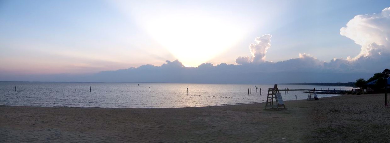
image_caption = James River at Huntington Park Beach
etymology = King James I
country = United States
country_
state = Virginia
district =
parent =
tributary_left =
tributary_right = Appomattox River
source = Confluence ofCowpasture River and Jackson River
source_location =Allegheny Mountains
source_region =
source_state = Virginia
source_elevation_imperial =
source_elevation_note =
source_length_imperial =
source_lat_d = 37
source_lat_m = 47
source_lat_s = 4
source_lat_NS = N
source_long_d = 79
source_long_m = 46
source_long_s = 33
source_long_EW = W
source_coordinates_note = GNIS|1488853|James River]
mouth = Hampton Roads
mouth_location =Chesapeake Bay
mouth_district =
mouth_region =
mouth_state = Virginia
mouth_country =
mouth_note =
mouth_lat_d = 36
mouth_lat_m = 56
mouth_lat_s = 30
mouth_lat_NS = N
mouth_long_d = 76
mouth_long_m = 26
mouth_long_s = 37
mouth_long_EW = W
mouth_coordinates_note =
mouth_elevation_imperial =
mouth_elevation_note =
length_imperial = 410
watershed_imperial = 10432
discharge_location =
discharge_round =
discharge_imperial =
discharge_note =
discharge_min_imperial =
discharge_max_imperial =
discharge1_location =
discharge1_imperial =
discharge1_note =

map_size = 300
map_caption = A map of the James River watershed
commons = The James River in theU.S. state ofVirginia is a convert|410|mi|km|adj=on longriver , including its Jackson River source. It drains a catchment comprising convert|10432|sqmi|km2. The watershed includes about 4% open water and an area with a population of 2.5 million people (2000). It is the 12th longest river in theUnited States that remains entirely within a single state.Course
The James River forms in the
Allegheny Mountains , near Iron Gate on the border between Alleghany and Botetourt counties from the confluence of the Cowpasture and Jackson Rivers, and flows into theChesapeake Bay atHampton Roads . Tidal waters extend west to Richmond, the capital of Virginia, at itsfall line , (thehead of navigation ). Larger tributaries draining to the tidal portion include theAppomattox River ,Chickahominy River ,Warwick River ,Pagan River , and theNansemond River .At its mouth near Newport News Point, the Elizabeth River joins the James River to form the harbor area known as
Hampton Roads . Between the tip of theVirginia Peninsula nearOld Point Comfort and theWilloughby Spit area of Norfolk inSouth Hampton Roads , a channel lead from Hampton Roads into the southern portion of theChesapeake Bay and out to theAtlantic Ocean a few miles further east.History
The Native Americans who populated the area east of the
fall line in the late 16th and early 17th centuries called the James River the Powhatan River, named for the chief of thePowhatan Confederacy which extended over most of theTidewater region of Virginia . The English colonists named it "James" after KingJames I of England , as they also constructed the first permanent English settlement in the Americas in 1607 at Jamestown along the banks of the James River about convert|35|mi|km upstream from theChesapeake Bay .The navigable portion of the river was the major highway of the
Colony of Virginia during its first 15 years, facilitating supply ships delivering supplies and more people from England. However, for the first five years, despite many hopes of gold and riches, these ships sent little of monetary value back to the sponsors. In 1612, businessmanJohn Rolfe successfully cultivated a non-native strain oftobacco which proved popular in England. Soon, the river became the primary means of exporting the largehogshead s of thiscash crop from an ever-growing number ofplantation s with wharfs along its banks. This development and made the proprietary effort of theVirginia Company of London successful financially, spurring even more development, investments and immigration. Below the falls at Richmond, manyJames River plantations had their own wharfs, and additional ports and/or early railheads were located at Warwick, Bermuda Hundred, City Point, Claremont, Scotland, and Smithfield, and, during the 17th century, the capital of the Colony at Jamestown. Navigation of the James River played an important role in early Virginia commerce and the settlement of the interior, although growth of the colony was primarily in the Tidewater regions during the first 75 years. The upper reaches of the river above the head of navigation at the fall line were explored by fur trading parties sent byAbraham Wood during the late 17th century.Although ocean-going ships could not navigate past present-day Richmond, portage of products and navigation with smaller craft to transport crops other than tobacco was feasible. Produce from the Piedmont and Great Valley regions traveled down the river to seaports at Richmond and Manchester through such port towns as Lynchburg, Scottsville, Columbia and Buchanan.
James River and Kanawha Canal
The James River was also considered as a route for transport of produce from the
Ohio Valley . TheJames River and Kanawha Canal was built for this purpose, to provide a link between the James and the navigable portion of theKanawha River , a tributary of theOhio River . For the most mountainous section between the two points, theJames River and Kanawha Turnpike was built to provide a portage link via wagons and stagecoaches. However, before the canal could be fully completed, in the mid-19th century,railroad s emerged as a more practical technology and eclipsedcanal s for economical transportation. TheChesapeake and Ohio Railway (C&O) was completed between Richmond and the Ohio River at the new city ofHuntington, West Virginia by 1873, dooming the canal's economic prospects. In the 1880s, theRichmond and Allegheny Railroad was laid along the eastern portion of the canal's towpath, and became part of the C&O within 10 years. In modern times, this rail line serves as a water-level route ofCSX Transportation , used primarily in transportingWest Virginia coal to exportcoal pier s at Newport News.Recreation
The James River also contains numerous parks and other recreational attractions. Canoeing, fishing, kayaking, hiking, and swimming are some of the activities that people enjoy along the river during the summer. From the river's start in the
Blue Ridge mountains toRichmond, Virginia , numerous rapids and pools offer fishing and whitewater rafting. The most intense whitewater stretch is a two mile (3 km) segment that ends in downtown Richmond where the river goes over the fall line. This is the only place in the country where extensive class III (class IV with above average river levels) whitewater conditions exist within sight of skyscrapers. Below theFall Line east of Richmond, the river is better suited for water skiing and other large boat recreation. Here the river is known for its blue catfish, reaching average sizes of 20 to 30 pounds, with frequent catches exceeding 50 pounds. In the Chesapeake watershed, the James River is the last confirmed holdout for the nearly extirpatedAtlantic sturgeon . In May 2007 a survey identified 175 sturgeon remaining in the entire river, with 15 specimens exceeding five feet. [ Karl Blankenship, Alliance for the Chesapeake Bay, "Bay Journal", Sept. 2007, p. 7 ]Bridges
Highway bridges below Richmond
In the
Hampton Roads area, the river is as much as five miles (8 km) wide at points. Due to ocean-going shipping upriver as far as thePort of Richmond , a combination offerryboat s, highbridge s andbridge-tunnel s are used for highway traffic. Crossings east to west include:*The
Monitor-Merrimac Memorial Bridge-Tunnel
*TheJames River Bridge
*TheJamestown Ferry (toll-free)
*TheBenjamin Harrison Bridge near Hopewell. This is adrawbridge on State Route 156 which replaced ferry service in 1966. It was the site of major collision of a ship in 1977.
*TheVarina-Enon Bridge is a highcable-stayed bridge carrying I-295 which was the second of its type in the U.S. when it was completed.
*TheVietnam Veterans Memorial Bridge carries thePocahontas Parkway (State Route 895) via a high-level bridge to connect to State Route 150 at Interstate 95.The SR 895 high level crossing is the last bridge east of the Deepwater Port of Richmond and head of ocean-going navigation at the
fall line of the James River. West of this point, potential flooding is more of an engineering concern than clearance for watercraft.Highway bridges at Richmond
The following is a list of extant highway bridges across the James River with one or both ends within the City of Richmond.
*
Interstate 95 James River Bridge (I-95)
*Mayo Bridge (US-360)
* Manchester Bridge (US-60)
*Robert E. Lee Memorial Bridge (US-1 and US-301)
*Boulevard Bridge (VA-161) (toll bridge, restricted weights)
*Powhite Parkway Bridge (Powhite Parkway and VA-76) (toll bridge)
*Huguenot Memorial Bridge (VA-147)
*Edward E. Willey Bridge (VA-150)Highway bridges west of Richmond
The following is a partial, incomplete list of extant highway bridges across the James River west of Richmond.
*
World War II Veterans Memorial Bridge (VA-288)
*U.S. Route 522 nearMaidens, Virginia
* State Route 45 nearCartersville, Virginia
* Columbia Road (Route 690) nearColumbia, Virginia
*U.S. Route 15 near Bremo Bluff, Virginia
* State Route 20 nearScottsville, Virginia
* State Route 56 near Wingina, Virginia
*Monacan Bridge (U.S. Route 29 East ofLynchburg, Virginia )
*Carter Glass Memorial Bridge (U.S. Route 29 Business atLynchburg, Virginia )
*John Lynch Memorial Bridge (Lynchburg, Virginia )Bicycles
The
Monitor-Merrimac Memorial Bridge-Tunnel prohibit bicycles, but bicyclists may take theJamestown Ferry . [http://www.virginiadot.org/infoservice/bk-info.asp] After a fatal accident on theBoulevard Bridge , the City of Richmond requires bicycles to travel on the sidewalk for the length of the bridge.ee also
*
List of Virginia rivers
*James River Bateau
*Army of the James References
* [http://www.chesapeakebay.net/wspv31/(j5hk0pmfxrmrrmr325orll3w)/WspAbout.aspx?basno=8&topic=5 Chesapeake Bay Program Watershed Profile] James River
Further reading
* [http://www.vcu.edu/engweb/home/james.html Heritage of the James River] Talk by Ann Woodlief at James River Symposium, 1995
* [http://www.jamesriverassociation.org/home.html James River Association]
*The River Where America Began - Bob Deans

Wikimedia Foundation. 2010.