- Dibden Purlieu
-
Coordinates: 50°51′07″N 1°24′54″W / 50.852°N 1.415°W
Dibden Purlieu 
Dibden Purlieu village centre following snowfall
 Dibden Purlieu
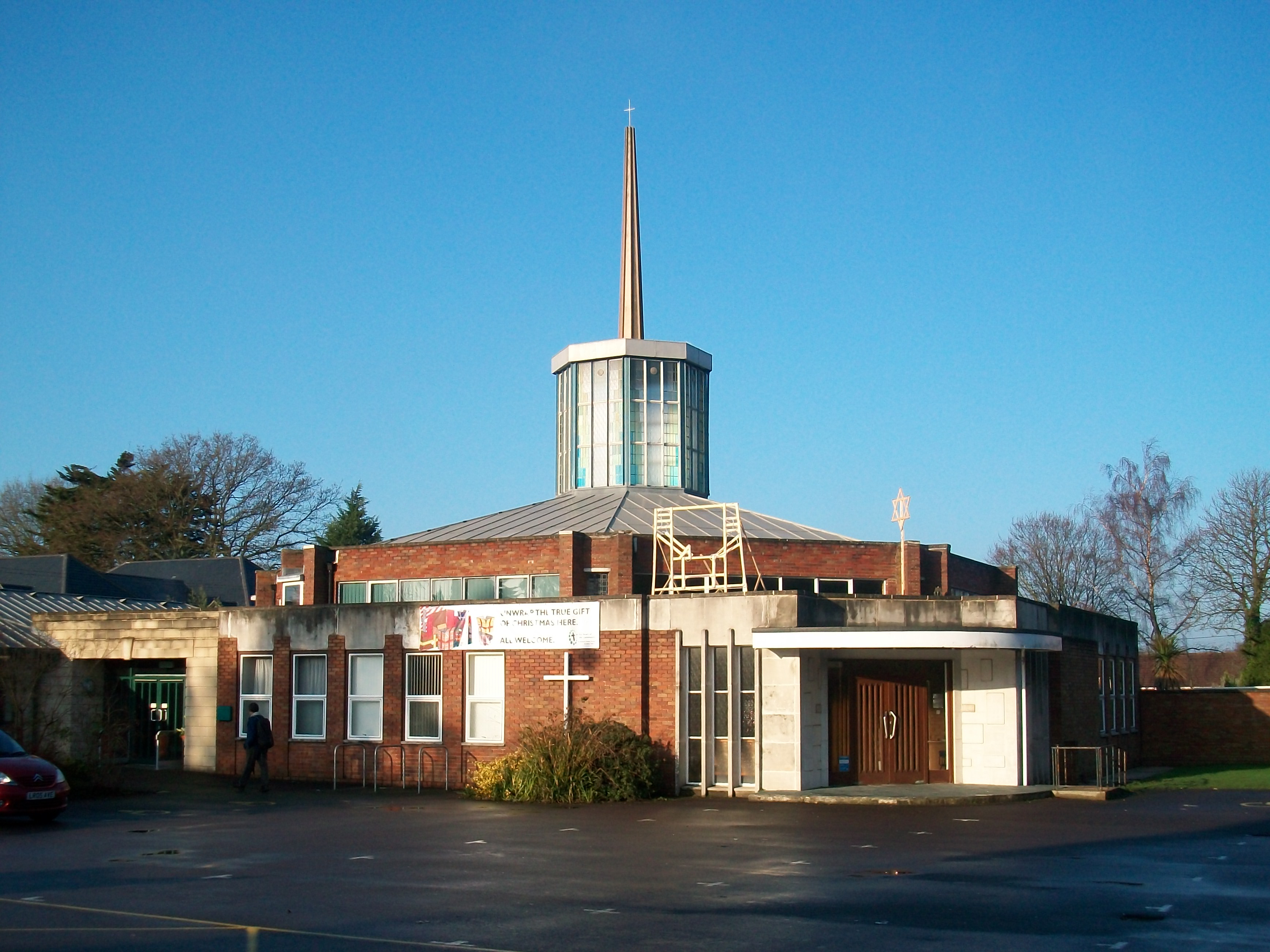
Dibden Purlieu shown within HampshireOS grid reference SU412061 Parish Hythe and Dibden District New Forest Shire county Hampshire Region South East Country England Sovereign state United Kingdom Post town SOUTHAMPTON Postcode district SO45 Dialling code 023 Police Hampshire Fire Hampshire Ambulance South Central EU Parliament South East England UK Parliament New Forest East List of places: UK • England • Hampshire 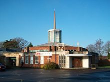 St Andrew's Church in Dibden Purlieu
Dibden Purlieu (pronounced /ˌdɪbdɛn ˈpɝːluː/) is a village situated on the edge of the New Forest in Hampshire, UK. The village merges with the nearby town of Hythe.
The approximate population is around 4000 people. The regular Blue Star bus service provides Purlieu's quickest link with the city of Southampton. Dibden Purlieu is twinned with Mauves-sur-Loire, France.
Contents
History
Dibden Purlieu was in the parish of Dibden, referred to in the Domesday Book of 1086 as Deepdene, "dene" being an Anglo-Saxon word for valley.[1] Purlieu is a Norman-French word meaning "the outskirts of a forest" – a place free from forest laws. In this particular case Dibden Purlieu was land removed from the New Forest in the 14th century when the forest boundaries were established by perambulations about 1300.[2] In practice the king retained or claimed, certain rights in the area, and the activities of the royal foresters in enforcing forest law there were a matter of great resentment.[2] Up to the 1950s Dibden Purlieu was a small settlement next to the village of Dibden, but the expansion of Fawley Refinery lead to a demand for more houses for workers, and Hythe and Dibden Purlieu were allowed to expand into a small town.[3] In 1983 the parish was renamed, and Dibden Purlieu is now part of the parish of Hythe and Dibden.[4]
A resident of Dibden Purlieu, Richard Eurich RA OBE, was the war artist to the Admiralty from 1941.
Schools
Dibden Purlieu has two large secondary schools; Noadswood School and Applemore Technology College. Totton College also has a small campus in the village.
The primary schools include Wildground, in Armitage Avenue (of which, the junior school opened in 1962, and the infant school two years later). Prior to that, the school had occupied temporary accommodation in Winfield Road, and had had to overspill into the Women's Institute Hall across the road.
References
- ^ Dibden, Old Hampshire Gazetteer
- ^ a b Dibden Purlieu, Old Hampshire Gazetteer
- ^ Journal of the Town Planning Institute, (1953), Volume 39, page 87: "At Fawley the construction of Europe's largest oil refinery on Southampton Water has created a demand for more housing accommodation and it is proposed to satisfy this by expanding the existing villages of Hythe and Dibden Purlieu into a small town of 10,000."
- ^ What is the Parish Council, Hythe and Dibden Parish Council
External links
 Media related to Dibden Purlieu at Wikimedia Commons
Towns, villages and hamlets in the New Forest District of Hampshire, England 
Allum Green | Applemore | Ashlett | Ashley | Ashurst | Bartley | Barton on Sea | Bashley | Beaulieu | Bisterne | Blashford | Blissford | Bolderwood | Boldre | Bramshaw | Bransgore | Breamore | Brockenhurst | Brook | Brookheath | Bucklers Hard | Burgate | Burley | Bull Hill | Cadnam | Calshot | Colbury | Copythorne | Crow | Damerham | Denny Lodge | Dibden | Dibden Purlieu | Downton | East Boldre | East End | East Hill | East Martin | East Mills | Emery Down | Ellingham | Everton | Exbury | Fawley | Fordingbridge | Fritham | Frogham | Furze Hill | Godshill | Gorley Lynch | Hale | Hale Park | Hale Purlieu | Hangersley | Harbridge | Hightown | Highwood | Hordle | Hungerford | Hyde | Hythe | Ibsley | Keyhaven | Lepe | Linbrook | Linford | Linwood | Lopshill | Lower Daggons | Lymington | Lyndhurst | Marchwood | Martin | Milford on Sea | Minstead | Mockbeggar | Netley Marsh | New Milton | Norley Wood | North Gorley | Ossemsley | Pennington | Picket Hill | Picket Post | Pilley | Portmore | Poulner | Ringwood | Rockbourne | Rockford | Sandford | Sandleheath | Shobley | Sopley | South Baddesley | South Gorley | Stuckton | Sway | Tinkers Cross | Tiptoe | Totton and Eling | Walhampton | Whitsbury | Whitsbury Common | Whitsbury Cross | Woodgreen | Woodlands
Categories:- New Forest
- Villages in Hampshire


Wikimedia Foundation. 2010.