- Numurkah, Victoria
-
Numurkah
Victoria
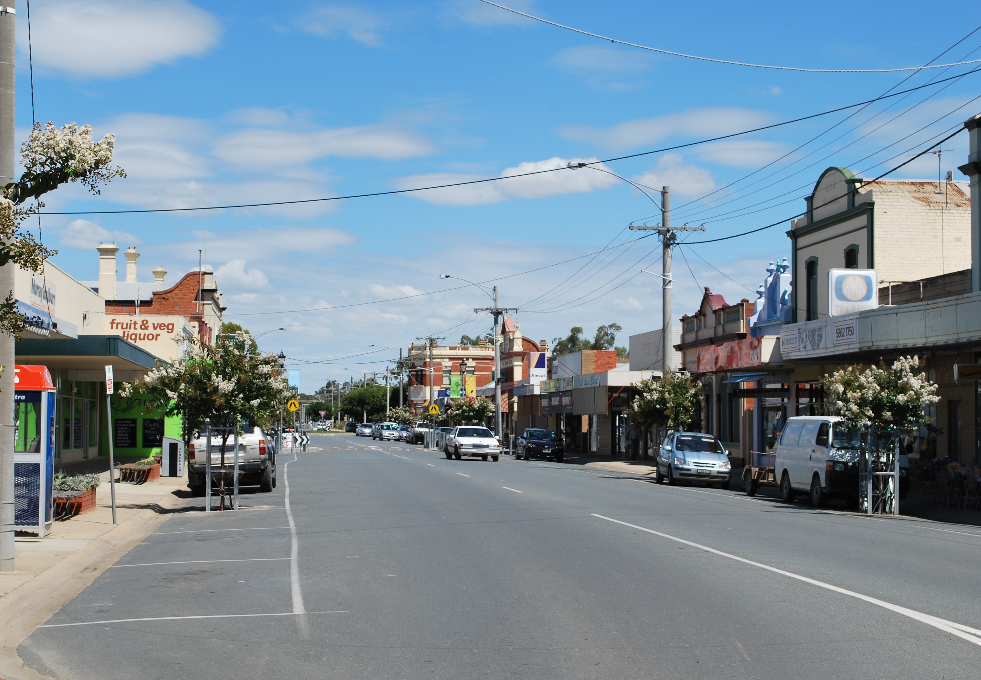
Melville St, the main street of Numurkah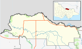
 Numurkah
Population: 4,643[1] Established: 1868 Postcode: 3636 Coordinates: 36°05′S 145°26′E / 36.083°S 145.433°ECoordinates: 36°05′S 145°26′E / 36.083°S 145.433°E Elevation: 108 m (354 ft) Location: - 228 km (142 mi) N of Melbourne
- 37 km (23 mi) N of Shepparton
LGA: Shire of Moira State District: Murray Valley Federal Division: Murray Mean max temp Mean min temp Annual rainfall 22.2 °C
72 °F9.0 °C
48 °F394.1 mm
15.5 inNumurkah (pronounced /njuːˈmɜrkə/, locally [njʉːˈmɜːkə] new-mur-kə)[2] is a town in Victoria, Australia, located on the Goulburn Valley Highway, 37 kilometres (23 mi) north of Shepparton, in the Shire of Moira. At the 2006 census, Numurkah had a population of 4,643.[1]
Contents
History
The area was occupied by the Yorta Yorta people prior to European settlement. Squatters moved into the area from NSW in the late 1830s. After the pastoral runs were made available for farm selection, the township of Numurkah was surveyed in 1875,[3] the Post Office opening 2 November 1878.[4] The local railway station was opened on the Goulburn Valley railway in 1881,[5] but has not seen any passenger services since 1993 when the train to Cobram was withdrawn.[6] The station building remains in private ownership, and a footbridge crosses the line.
The name is thought to be derived from an Aboriginal word meaning war shield,[7] although a recent authority thinks that this is mistaken.[citation needed] The town hosts an art show in March, a fishing competition in April, and go-kart championships in September and a car show in December.
Recreation
The town has an Australian rules football team competing in the Murray Football League.
Golfers play at the course of the Numurkah Golf Club on Tunnock Road.[8]
Other popular sports include: Numurkah Lawn Tennis Club, Lawn Bowls, Gymnasium & an Outdoor Swimming Pool which is operated during the warmer months.
Biodiversity and Natural Features
Numurkah is on a low lying area on the floodplain of the Broken River. This floodplain area is Red Gum (Eucalyptus camaldulensis) woodland. There are other trees in the township area like Eucalyptus microcarpa (Grey Box) as well as Murray Pines.
References
- ^ a b Australian Bureau of Statistics (25 October 2007). "Community Profile Series : Numurkah (Urban Centre/Locality)". 2006 Census of Population and Housing. http://www.censusdata.abs.gov.au/ABSNavigation/prenav/ProductSelect?newproducttype=Community+Profiles&collection=Census&period=2006&areacode=SSC26375&breadcrumb=LP¤taction=201&action=401. Retrieved 2007-09-03.
- ^ Macquarie Dictionary, Fourth Edition (2005). Melbourne, The Macquarie Library Pty Ltd. ISBN 1-876429-14-3
- ^ LocalHero. "Local history of Numurkah". http://localhero.biz/article/permatitle/history_of_numurkah,_victoria/.
- ^ Premier Postal History. "Post Office List". https://www.premierpostal.com/cgi-bin/wsProd.sh/Viewpocd.w?. Retrieved 2008-04-11
- ^ Bob Whitehead (2008). Tocumwal Railway Centenary.
- ^ Chris Banger (March 1997). "Rail Passenger Service Withdrawals Since 1960". Newsrail (Australian Railway Historical Society (Victorian Division)): pages 77–82.
- ^ Thomas O'Callaghan (1918). Names of Victorian Railway Stations. Government Printer. ISBN 0 9580716 0 8. (2003 facsimile edition)
- ^ Golf Select. "Numurkah". http://www.golfselect.com.au/armchair/courseView.aspx?course_id=1054. Retrieved 2009-05-11
See also
Towns in the Shire of Moira Local Government Area Bearii · Barmah · Bundalong · Cobram · Invergordon · Katamatite · Katunga · Koonoomoo · Lake Rowan · Nathalia · Numurkah · Picola · St James · Strathmerton · Tungamah · Waaia · Wilby · Wunghnu · Yarroweyah · Yarrawonga · Youanmite
��
Categories:- Towns in Victoria (Australia)
- Australian Aboriginal placenames
- Victoria (Australia) geography stubs

Wikimedia Foundation. 2010.