- Dodington, Gloucestershire
-
This article is about Dodington, Gloucestershire. For other uses, see Dodington.
Coordinates: 51°31′07″N 2°21′44″W / 51.5186°N 2.36225°W
Dodington 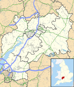
 Dodington
Dodington shown within GloucestershireOS grid reference ST752798 Unitary authority South Gloucestershire Ceremonial county Gloucestershire Region South West Country England Sovereign state United Kingdom Postcode district BS37 Police Avon and Somerset Fire Avon Ambulance Great Western EU Parliament South West England List of places: UK • England • Gloucestershire Dodington is a village in South Gloucestershire, England. It lies in a small, fertile valley between Codrington and Old Sodbury, and runs together with the even tinier hamlet of Coombes End. It is about 2.5 miles south-east of Chipping Sodbury and 4 miles from Yate railway station.
The River Frome rises within Dodington Park, the estate that originally formed the economic basis of this small village. The Cotswold Way also passes through the north end of the village. The River Boyd rises just south of the village.
Numerous Roman remains, including part of a villa have been found in the parish. Dodington is mentioned in the Domesday Book. The village has grown little since then, boasting a mailbox and a road junction, but no shops and no phone box.
Dodington's most famous resident is James Dyson, inventor of the Dyson cyclonic separation vacuum cleaner, who bought Dodington Park in 2003. Admiral Sir Edward Codrington GCB RN, hero of the Battle of Trafalgar and the Battle of Neverino was born here.
External links
- GENUKI -- Dodington
- Local Focus Events and issues in Chipping Sodbury, Yate and Dodington
Categories:- Villages in South Gloucestershire
- Gloucestershire geography stubs

Wikimedia Foundation. 2010.