- Marylebone Road
-
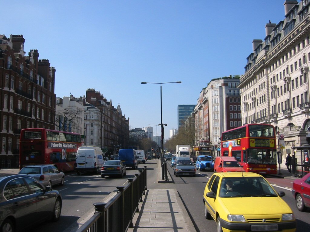
 Marylebone Road, London, looking west towards the junction with Baker Street
Marylebone Road (pronounced /ˈmɑrlɨbən/ (
 listen) mar-li-bən) is an important thoroughfare in central London, within the City of Westminster. It runs east-west from the Euston Road at Regent's Park to the A40 Westway at Paddington. The road which runs in 3 lanes in both directions, is part of the London Inner Ring Road and as such forms part of the boundary of the zone within which the London congestion charge applies.
As part of the Ring Road and a feeder route to the A40 (and hence the M40 motorway) (to the west) and the A5 and M1 motorway (to the north) much of the traffic leaving central London for the Midlands and the North of England travels on this road. It is frequently heavily congested.
Contents
History
The road was effectively London's first bypass. Construction of the New Road, as it was called, began in 1756 along the northern edge of the built-up area.[1]
The name Marylebone originates from a church, called "St Marys", that was built on the bank of a small stream or "bourne" called the tybourne, in an area named after the stream Tyburn. The church and the surrounding area later became known as St Mary at the bourne, which over time became shortened to its present form Marylebone. The current St Marylebone Parish Church is on the south of Marylebone Road, opposite the Royal Academy of Music and at the top of Marylebone High Street.
Tourism
One of London's principal tourist attractions lies on Marylebone Road - Madame Tussauds. It is also the location of the Royal Academy of Music and the former "Great Central Hotel", now renamed The Landmark London.
Mainline and London Underground stations
Mainline
- Marylebone
- Paddington
Tube
- Edgware Road (Bakerloo Line)
- Edgware Road (Circle, District and Hammersmith & City Lines)
- Marylebone
- Paddington
- Baker Street
- Regent's Park
- Great Portland Street
References
Coordinates: 51°31′12″N 0°10′30″W / 51.52°N 0.175°W
University of Westminster Schools, departments
and institutesSchool of Architecture and the Built Environment · School of Electronics Engineering and Computer Science · School of Law · School of Life Sciences · School of Media, Arts and Design (China Media Centre · Department of Journalism and Mass Communications) · School of Social Sciences, Humanities and Languages (Diplomatic Academy of London · Policy Studies Institute) · Westminster Business School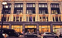
University PeopleStudent lifeOtherAffiliates  CategoryCategories:
- Streets in Westminster

Wikimedia Foundation. 2010.