- Dengie peninsula
-
Dengie is a peninsula in Essex, England, that once formed a hundred of the same name (sometimes spelled Dengy).
The peninsula is formed by the River Crouch to the south, the Blackwater to the north, both of which are tidal, and the North Sea to the east. The eastern part of the peninsula is marshy and forms the Dengie Marshes.
The western boundary of Dengie hundred ran from North Fambridge to a bit west of Maldon. The peninsula forms about half of the Maldon local government district.
Places on the peninsula are:
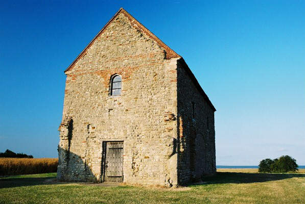
 St. Peter-on-the-Wall Chapel, at the tip of the peninsula
- Althorne, Asheldham
- Bradwell-on-Sea, Bradwell Waterside, Burnham-on-Crouch
- Cold Norton, Creeksea
- Dengie (village)
- Hazeleigh
- Langford
- Latchingdon
- Maldon
- Mayland, Maylandsea, Mundon
- North Fambridge
- Purleigh
- Ramsey Island
- Snoreham, Southminster, Steeple, Stow Maries, St Lawrence Bay
- Tillingham
- Woodham Mortimer, Woodham Walter
See also
External links
- Photographs of the Dengie Hundred
- Information and photographs of the villages of the Dengie Hundred
- Information and photographs of Burnham on Crouch which is the main town of the Dengie Hundred
- The local magazine for Burnham-on-Crouch and the Dengie Hundred villages
- The history of the Dengie Hundred
Categories:- Maldon (district)
- Geography of Essex
Wikimedia Foundation. 2010.