- Mahogany Creek, Western Australia
-
Mahogany Creek
Perth, Western Australia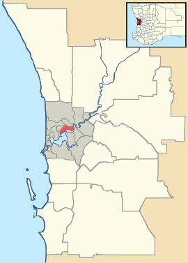
 Mahogany Creek
Population: 828 (2006 census)[1] Postcode: 6072 LGA: Shire of Mundaring State District: Swan Hills Federal Division: Pearce Suburbs around Mahogany Creek: Hovea Parkerville Parkerville Glen Forrest Mahogany Creek Mundaring Glen Forrest Paulls Valley Mundaring Coordinates: 31°54′22″S 116°08′06″E / 31.906°S 116.135°E
Mahogany Creek is a suburb in the shire of Mundaring, Western Australia.
Its name is derived from the historic Mahogany Creek Inn, constructed in about 1880, and situated on what was the York Road, now known as the Great Eastern Highway. The inn is heritage listed.
Mahogany Creek is also the location of the steepest section of the Great Eastern Highway after Greenmount Hill.
The suburb had a population of 763 in 1991, and in 1996 it was 822.
There was a railway station on the original route of the Eastern Railway, and there have been a number of shops close to the railway station. Only one remains, now an antique shop.
Notes
- ^ Australian Bureau of Statistics (25 October 2007). "Mahogany Creek (State Suburb)". 2006 Census QuickStats. http://www.censusdata.abs.gov.au/ABSNavigation/prenav/LocationSearch?collection=Census&period=2006&areacode=SSC51861&producttype=QuickStats&breadcrumb=PL&action=401. Retrieved 2008-10-05.
Further reading
- Elliot, Ian (1983). Mundaring - A History of the Shire (2nd ed. ed.). Mundaring: Mundaring Shire. ISBN 0-9592776-0-9.
- Spillman, Ken (2003). Life was meant to be here: community and local government in the Shire of Mundaring. Mundaring: Mundaring Shire. ISBN 0-9592776-3-3.
External links
Suburbs of the Shire of Mundaring | Perth | Western Australia Bailup · Bellevue · Beechina · Boya · Chidlow · Darlington · Glen Forrest · Greenmount · Helena Valley · Hovea · Mahogany Creek · Midvale · Mount Helena · Mundaring · Parkerville · Sawyers Valley · Stoneville · Swan View · The Lakes · Wooroloo
Categories:- Suburbs of Perth, Western Australia
- Perth, Western Australia geography stubs

Wikimedia Foundation. 2010.