- Etruria railway station
Infobox UK disused station| name = Etruria|
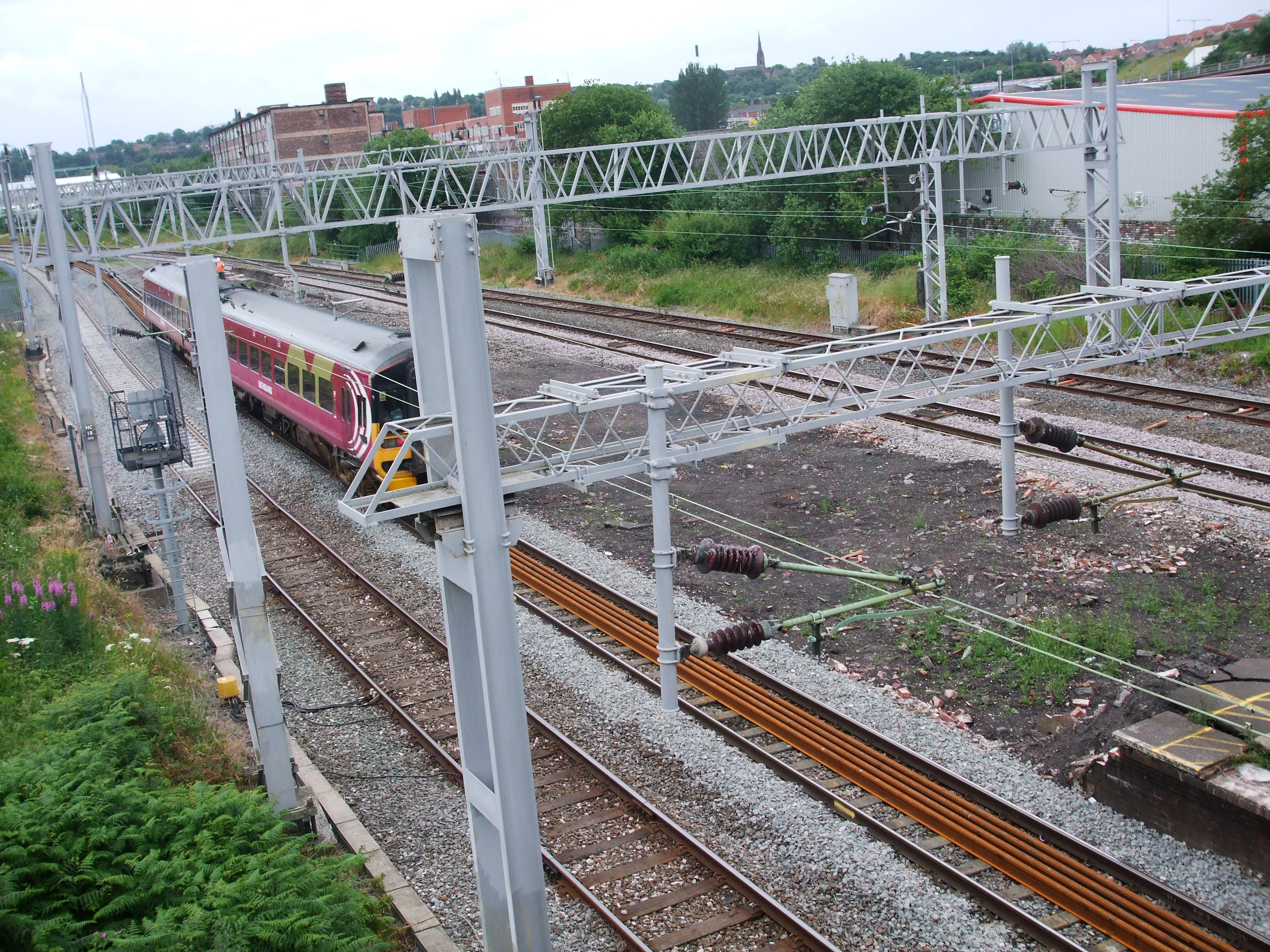
caption = The remains of Etruria station in July 2008
manager =North Staffordshire Railway | locale = Etruria| borough =Staffordshire | platforms = 2
years = 9 October 1848| events = Opened| years1 = 30 September 2005| events1 = Closed|Etruria station is a closed station in
Stoke-on-Trent ,Staffordshire , which served the areas of Etruria and the larger district ofNewcastle Under Lyme . It closed on30 September 2005 .citeweb|url=http://news.bbc.co.uk/1/hi/england/staffordshire/4295540.stm|title=Last train departs from station|date=September 30 2005 |publisher=BBC News ]The station was opened
9 October 1848 by theNorth Staffordshire Railway and was modified by them in the 1870s when thePotteries Loop Line was constructed and remains in that condition.
The station was anisland platform situated underneath a bridge carrying the A53, approximately one mile north of Stoke-on-Trent station. Its train services were suspended in May 2003 during the upgrade of theWest Coast Main Line .Central Trains did not restart services to Etruria when the work was finished and continued withbustitution , althoughFirst North Western reintroduced a limited service, beyond what was contractually required.After already low passenger numbers dwindled even further, closure was proposed by the
Strategic Rail Authority in February 2004. The closure was granted approval by theDepartment for Transport on21 July 2005 . [citeweb|url=http://www.dft.gov.uk/pgr/rail/passenger/stations/ministerialdecisionapproving3354|title=Proposal to close Etruria station|date=July 21 2005 |publisher=Department for Transport ] The final train wasNorthern Rail unit 323226 which left at 07.16 toManchester Piccadilly . The closure was condemned byTransport 2000 .The platforms and steps were still in situ as of May 2007 although signage and platform objects were removed in June 2006.
In March 2008 work has begun on demolishing the island Platform at Etruria. When this is complete the steps will be removed in order for the line to realigned. It is reported that this will save 3 minutes on the time to london.However this claim is unfounded as trains are already slowing down to stop at Stoke-on-trent by the time they pass through Etruria.
References
External links
* [http://www.guardian.co.uk/comment/story/0,3604,1644025,00.html Guardian Unlimited: Last train to Etruria]
* [http://www.bbc.co.uk/stoke/content/panoramas/etruria_rail_360.shtml BBC Stoke & Staffordshire] - 360° view of Etruria Station
Wikimedia Foundation. 2010.