- Parkdale, Calgary
Infobox Settlement
official_name = Parkdale
other_name =
settlement_type = Neighbourhood
imagesize =
image_caption =
city_logo =
citylogo_size =
mapsize =
map_caption =
image_dot_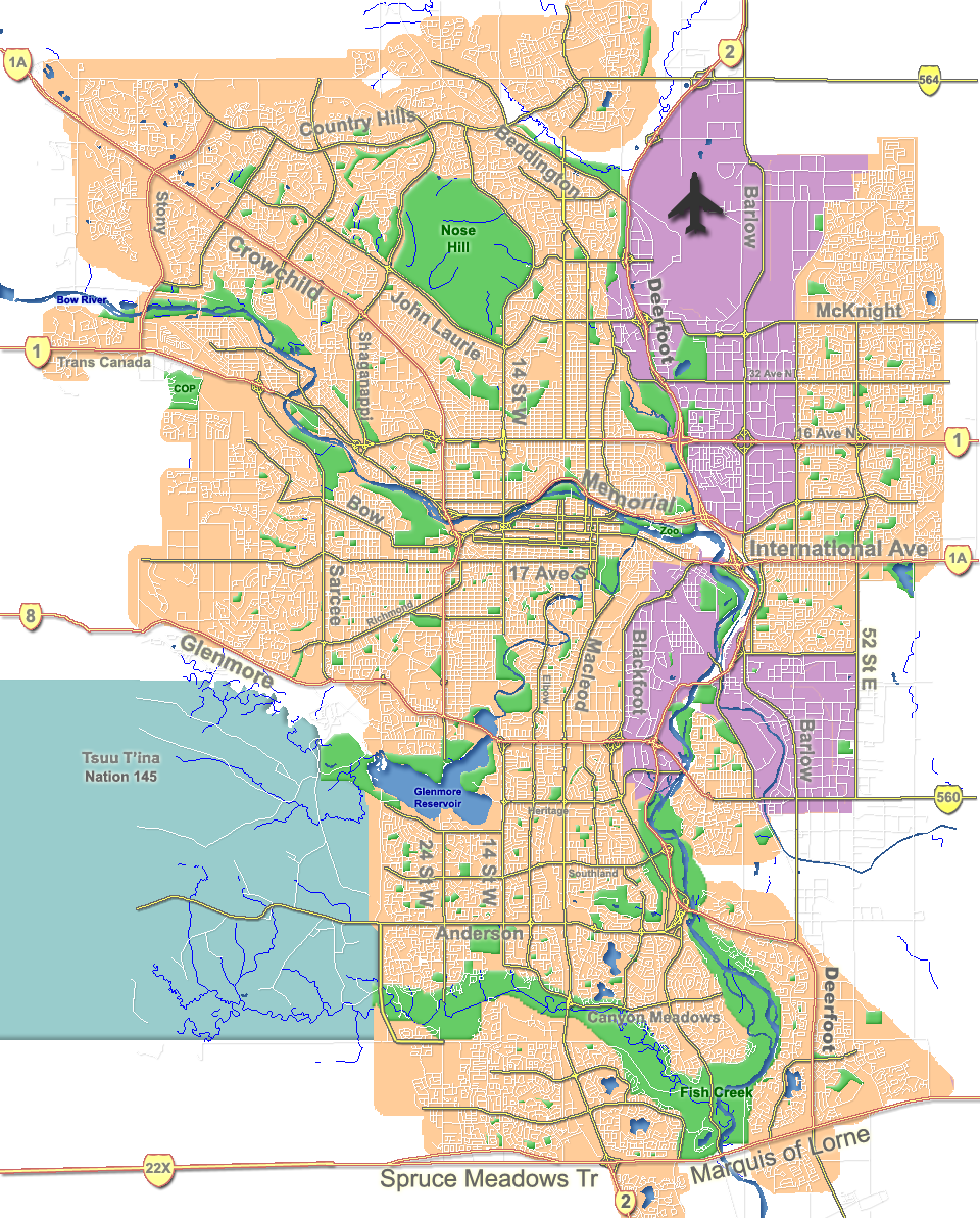
dot_mapsize = 225px
dot_map_caption = Location of Parkdale inCalgary
dot_x = 93|dot_y = 106
subdivision_type = Country
subdivision_name = CAN
subdivision_type1 = Province
subdivision_name1 = AB
subdivision_type2 = City
subdivision_name2 = flag|Calgary
subdivision_type3 = Quadrant
subdivision_name3 = NW
subdivision_type4 = Ward
subdivision_name4 = 7
government_footnotes =
government_type =
leader_title = Administrative body
leader_name =Calgary City Council
leader_title1 = Alderman
leader_name1 = Druh Farrell
leader_title2 =
leader_name2 =
established_title = Established
established_date = 1948
established_title2 = Annexed
established_date2 = 1910
area_magnitude =
area_footnotes =
area_total_km2 = 0.6
population_as_of = 2006
population_footnotes =
population_total = 2136
population_density_km2 =
population_blank1_title = Average Income
population_blank1 = $59209
timezone =
utc_offset =
latd= 51|latm= 03|lats= 32|latNS= N|longd= 114|longm= 08|longs= 19|longEW= W
elevation_footnotes =
elevation_m = 1060
postal_code_type =
postal_code =
area_code =
blank_name =
blank_info =
blank1_name =
blank1_info =
website = [http://www.calgarycommunities.com/communities/parkdale.php Parkdale Community Association]
footnotes = Parkdale is a neighbourhood in the city ofCalgary ,Alberta . It is bounded by 28 Street NW to the east,Foothills Hospital to the north, Shaganappi Trail NW to the west and theBow River on the south. It was constructed as a post-World War II suburb, but is now an inner city neighbourhood.It is represented in the
Calgary City Council by Ward 7Alderman Druh Farrell.Demographics
In 2006 the neighbourhood had a population of 2,136.Cite web| url=http://www.calgary.ca/DocGallery/BU/cityclerks/popcomparisonbycomm.pdf | author= City of Calgary | title= Community Population Comparison | year=2006 | accessdate= 2007-05-18] Residents in this community had a
median household income of $59,209 in 2000, and there were 13.5% low income residents living in the neighborhood.Cite web| url= http://www.calgary.ca/docgallery/bu/cns/community_social_statistics/ward_7_profile.pdf | title=Ward 7 Profile| author=City of Calgary| year=2004| accessdate= 2007-05-18] As of 2000, 13.8% of the residents wereimmigrant s. A proportion of 39.3% of the buildings werecondominium s orapartment s, and 39.6% of the housing was used forrenting .Cite web| url= http://www.calgary.ca/docgallery/bu/cns/community_social_statistics/parkdale.pdf| title= Parkdale Community Statistics| author= City of Calgary | year= 2006 | accessdate= 2007-05-18]ee also
*
List of neighbourhoods in Calgary References
External links
* [http://www.calgaryarea.com/nw/parkdale/parkdale.htm Parkdale Community Association]
Canadian City Geographic Location (8-way)
Northwest = Montgomery
North = University Heights
Northeast = St. Andrews Heights
West = 
Wikimedia Foundation. 2010.