- Denton Burn
-
Coordinates: 54°59′00″N 1°41′38″W / 54.9832194°N 1.6939116°W
Denton Burn 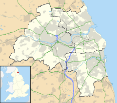
 Denton Burn
 Denton Burn shown within Tyne and Wear
OS grid reference NZ1958665453 List of places: UK • England • Tyne and Wear Denton Burn is an area situated 4 miles (6 km) to the west of the city centre of Newcastle upon Tyne in England, United Kingdom. It is officially designated a suburb of the city, where it is linked to Carlisle by the A69 and A1 roads. The West Road also runs to the north of Denton Burn allowing access to the city centre and also to the junction which leads to the A69 road and A1 road.
Education
There are three schools located in Denton Burn, St. Bedes RC Primary School, Broadwood Primary School and St. Cuthbert's High School.
References
Categories:- Tyne and Wear geography stubs
- Districts of Newcastle upon Tyne

Wikimedia Foundation. 2010.