- Isla Martín García
-
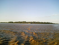 Martin Garcia Island, viewed from the Río de la Plata estuary
 Diagram
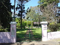 Nature reserve ranger station
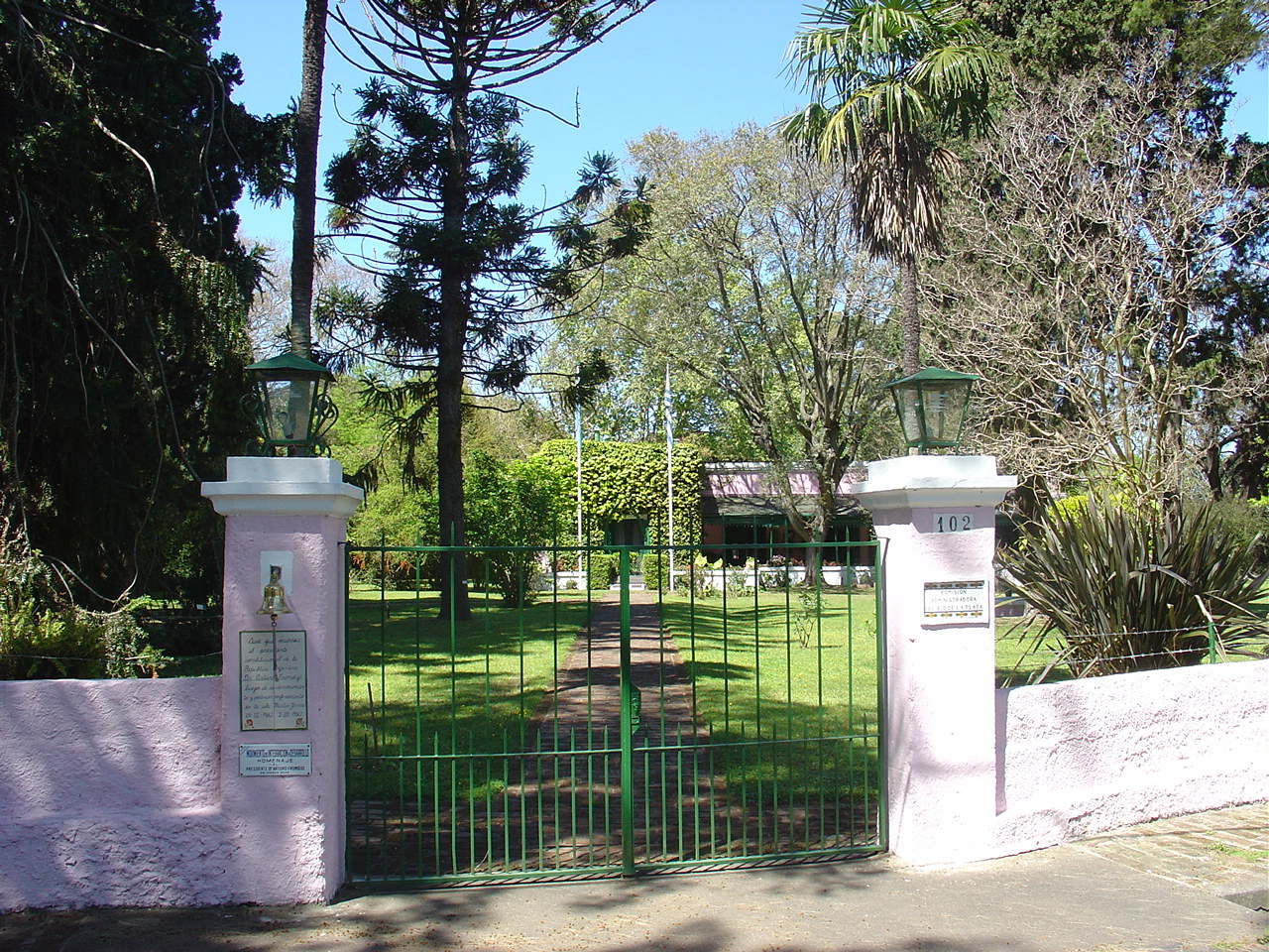
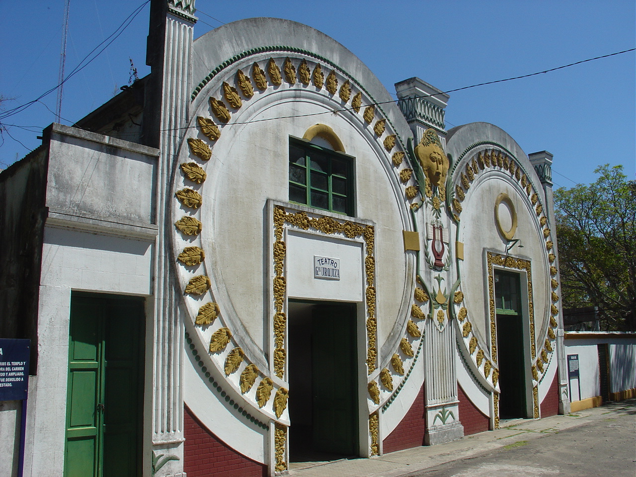
 Urquiza Theatre and Cinema
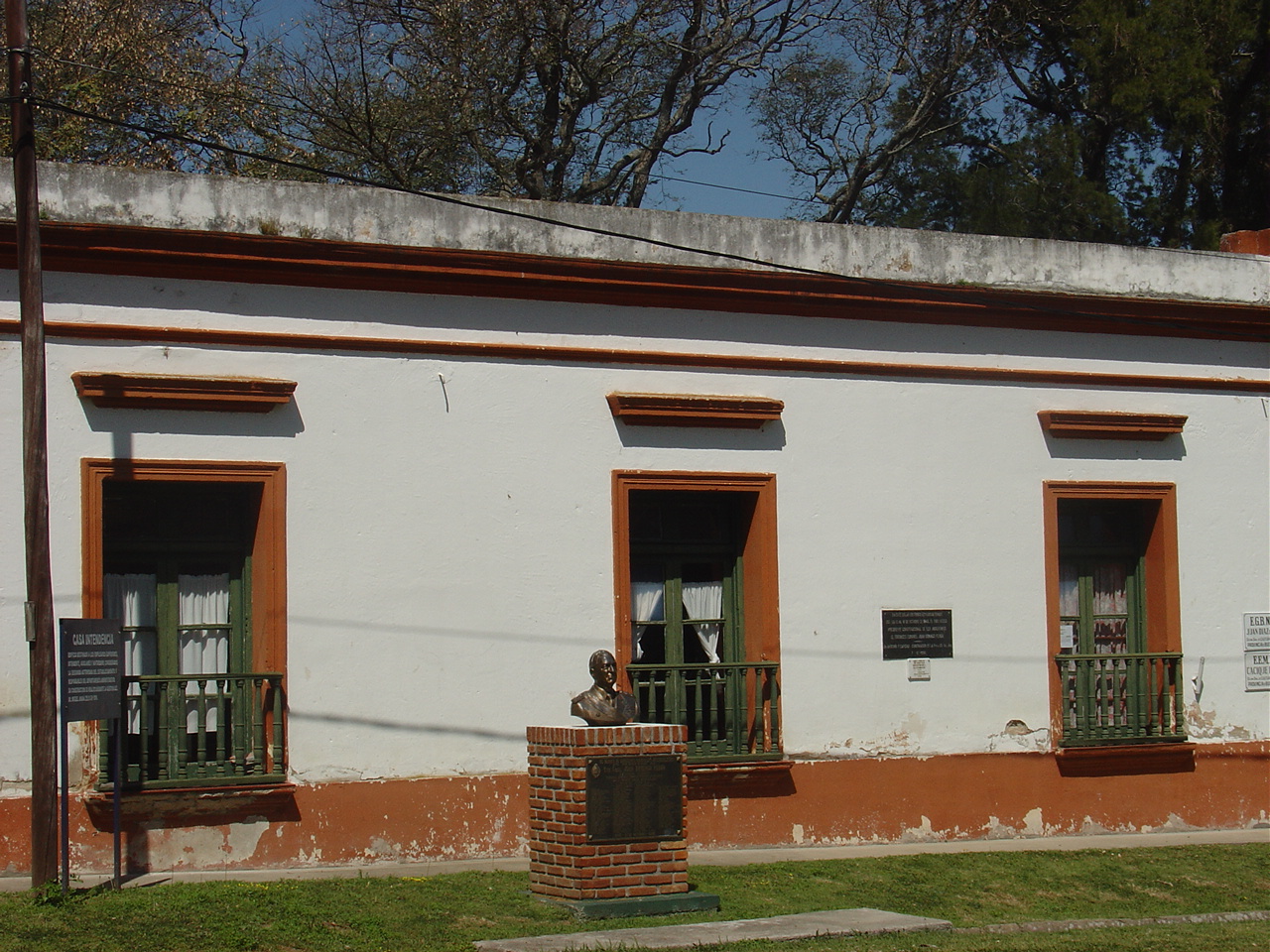
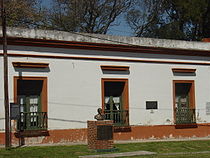 The former school, which served prison guards' families in the 19th century, and where Presidents Yrigoyen, Perón and Frondizi were kept in detention during their respective political crises
Isla Martín García is an Argentine island off the Río de la Plata coast of Uruguay. The enclave island is within the boundaries of Uruguayan waters; in 1973 both countries reached an agreement establishing Martín García as an Argentine territory and also as a nature reserve.
The island of 1.84 km2 (0.7 sq mi) has a permanent population of about 150 people (50 families), and belongs to the Buenos Aires Province.
The strategically located island was the site of a fortification built in the 1820s by Argentine forces to deny the Brazilian navy access to the Uruguay River. This fort, named Constitucion, succeeded in keeping Brazilian reinforcements at bay during the Battle of Juncal between 8 and 9 February 1827, allowing the Argentines to destroy the Brazilian squadron operating on the Uruguay River during the Argentina-Brazil War. In more modern times, several Argentine political figures were kept in the island under arrest by different military governments, including Presidents Hipólito Yrigoyen (1930), Juan Perón (1945), and Arturo Frondizi (1962).
The island is accessible by air at Martín García Island Airport.
Contents
History
Martin Garcia Island was discovered by the expedition of Juan Díaz de Solís in 1516 and is in fact named after the steward of the issue, Martín Garcia, who died on board whose corpse was left on the island. From that time the island was continually disputed by Spain and Portugal due to its strategic position amidst the main river channel and as a gateway to its main tributaries, the Paraná and Uruguay rivers.
The island functioned as a penal colony from 1765 until 1886. The creation of the Viceroyalty of the Río de la Plata the first viceroy, Pedro de Cevallos, fortified and became a military garrison. In 1814, Admiral William Brown, commanding a fleet, landed on the island and defeated the royalists, leaving Martin Garcia in the hands of the United Provinces of Río de la Plata.
It was the scene of other battles during the Argentine War of Independence, as well as during the Argentina-Brazil War of the 1820s. In 1838, during the government of Buenos Aires Province Governor Juan Manuel de Rosas, Martín García was also attacked by Anglo-French forces, and later occupied by allied forces composed of Unitarian Party exiles in Montevideo. In 1843 it was recovered by federal troops of Rosas, who, in turn, lost the post in 1845 to troops led by "the Sword of Italy," Giuseppe Garibaldi, who retook it for Montevideo. Its strategic value during the Argentine Civil Wars of the mid 19th century ended after Rosas was overthrown in the Battle of Caseros in 1852.
President Domingo Sarmiento proposed a base on the island in the 1870s, with Argirópolis City as the capital of a micro state administered jointly by Argentina, Uruguay and Paraguay. After the Conquest of the Desert was formally launched in 1879, many indigenous leaders captured were confined there. The island was transferred to Argentine Navy jurisdiction in 1886.
The island's distance from the rest of the Argentine territory is less than two miles, and its jurisdictional status was formallty established by the Treaty of Río de la Plata between Uruguay and Argentina on November 19, 1973. These treaties stipulate that the Martín García Island be an Argentine exclave surrounded by Uruguayan waters. In return for recognition of Argentina's sovereignty over the island in question, Argentina made territorial concessions in the Río de la Plata, notably the concession of Juncal Island to Uruguay.
Article 45 of the treaty states:
Martín García Island is a nature reserve intended exclusively for conservation and preservation of indigenous flora and fauna, under the jurisdiction of Argentina. On the other hand, this treaty explicitly defines its size, because the enormous stream load in the area produced the geographic union of Timoteo Domínguez Island, under Uruguayan jurisdiction, with Martín García.
Uruguayan officials have cited Article 45 to prevent the use of the island by Argentina for purposes other than for the nature reserve on several occasions. In 1985 the Navy transferred ownership of buildings and facilities in the island to the Province of Buenos Aires. Today, the island is a tourist destination, and among its more notable sights are the old Chinatown, the remains of the fortifications, the prison infirmary, and the forest where red deer inhabit. The island is also well known for its artisanal pastries.
Flora and fauna
The island's biome is that of forests, and its predominant species include the ceiba and the creole laurel, as well as xerophytic species (similar to the Gran Chaco) that include gorse, cacti, and lapachillo. The island's beaches are populated with reeds, fig trees (ibopehay), and more than 800 species of plants.
The median and greater wildlife, excluding fish, is composed at present mainly by over 250 bird species which highlights the hummingbirds that have eight species, sparrowhawk, lapwings, herons, vultures, parrots, cardinals, pigeons, sparrows, finches, larks, pygmy owls (caburé), and great horned owls, among others. The island is also home to a variety of reptiles, lizards, geckos, turtles, frogs, coypu (or pseudonutrias), capybaras, alligators, red deer. The once-large population of giant river otters (ariray) was exterminated by the late 1950s.
Climate
The average annual temperature is 17 °C (63 °F), and averages 8 °C (55 °F) in the winter, and 29 °C (84 °F) in the summer. Average annual precipitation is 1,000 mm (40 ").
Population
Martín García once had an estimated population of 4,000, but decreased with time. The stable population in 2008 is less than 170 people (about 50 families).
Categories:- Geography of Buenos Aires Province
- Islands of Argentina
- Enclaves
- Exclaves
- River islands


Wikimedia Foundation. 2010.