- Cheung Sha Wan Road
-
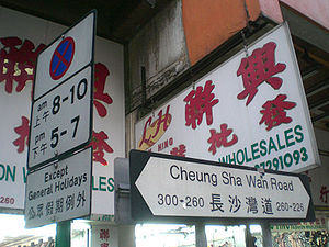 A road sign
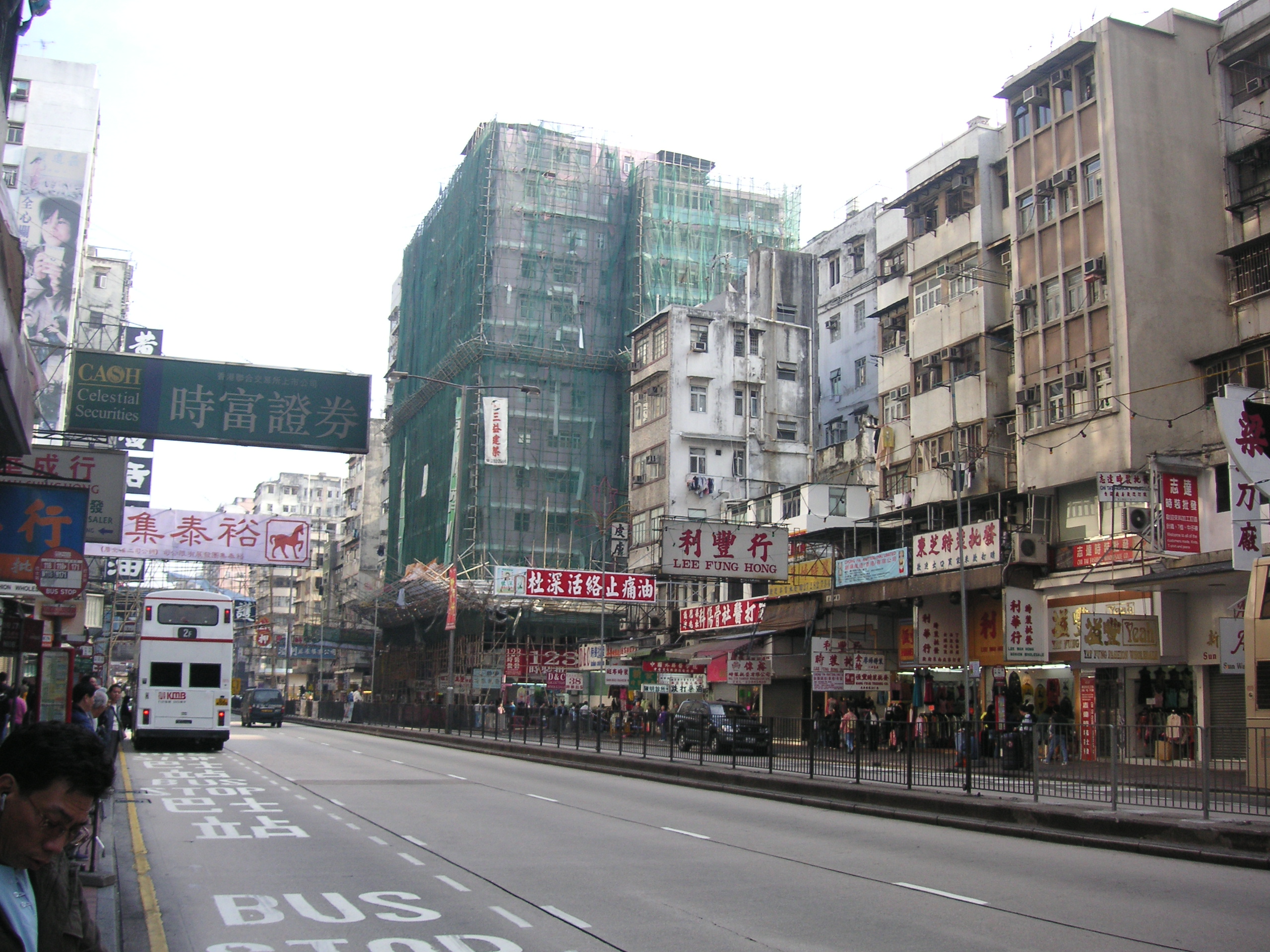
 A section of Cheung Sha Wan Road in Sham Shui Po
Cheung Sha Wan Road (traditional Chinese: 長沙灣道; simplified Chinese: 长沙湾道; pinyin: Chángshāwān Dào; Cantonese Yale: cheung4 sa1 waan4 dou6) is the most major road in western urban New Kowloon of Hong Kong. It starts from Sham Shui Po, passes through Cheung Sha Wan, and ends near Lai Chi Kok.
Contents
Route
On the ground, the road extends Nathan Road north-westward at the junction with Boundary Street near Tai Po Road in Mong Kok. An flyover links the road with Boundary Street near Maple Street. The road remains two-way until it meets Butterfly Valley Road in west end of Cheung Sha Wan. The section in Lai Chi Kok is Kowloon-bound only and the New Territories-bound is left to Lai Chi Kok Road, separated by the flyover of Kwai Chung Road.
Mass Transit Railway
The Mass Transit Railway (MTR) was built beneath the road with three stations, namely, Sham Shui Po Station, Cheung Sha Wan Station and Lai Chi Kok Station. As the stations and the underground tunnels were constructed by cut-and-cover, the construction caused serious traffic congestion in the western New Kowloon.
Buildings
Two sides of the road consists of wide variety of urban landscape. In Sham Shui Po section, clothes wholesale markets occupy the shops on both side with old residential buildings above. In eastern Cheung Sha Wan, abandoned public factories buildings and renewed public housing estates, parks and sports grounds scattered. In western Chueng Sha Wan, factories and shopping centre are the main themes of the area.
See also
External links
Major streets and roads in Kowloon & New Kowloon Kowloon City Kwun Tong Sham Shui Po Apliu • Boundary • Castle Peak • Cheung Sha Wan • Ching Cheung • Fuk Wa • Lai Chi Kok • Pei Ho • Tai Po
Wong Tai Sin Yau Tsim Mong Argyle • Austin • Austin West • Boundary • Canton • Chatham • Cherry • Dundas • Fa Yuen • Gascoigne • Jordan • Mody • Nathan • Portland • Prince Edward •
  Princess Margaret • Public Square • Sai Yeung Choi • Salisbury • Shanghai • Soy • Temple • Tung Choi • Wylie
Streets and roads in Hong Kong Island • New Territories Coordinates: 22°19′57″N 114°09′20″E / 22.3325°N 114.1556°E
Categories:- Hong Kong road stubs
- Cheung Sha Wan
- Sham Shui Po
- Lai Chi Kok
- Roads in Hong Kong

Wikimedia Foundation. 2010.