- Conistone
-
Conistone is a small village (population 117 in the 2001 census) in North Yorkshire, England. It lies 3 miles north of Grassington, beside the River Wharfe, in Upper Wharfedale.
The village is set in characteristic limestone scenery, including Mossdale Caverns, the dry gorge of Conistone Dib and the limestone outcrop of Conistone Pie. Above the Dib a Dalesway path connects Kettlewell, to its north, and Grassington, to its south, providing distant views over the Wharfedale. From the B6160 road, the Wharfe is crossed at Conistone by a stone-arch bridge, which is within easy walking distance of Kilnsey, with its Crag.
See also
-

Conistone, bridge and Dib, over Wharfedale from west
-

Stone arch bridge over Wharfe
-
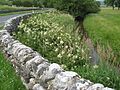
Meadowsweet along B6160, toward Kilnsey
-

Wall across Dib
-

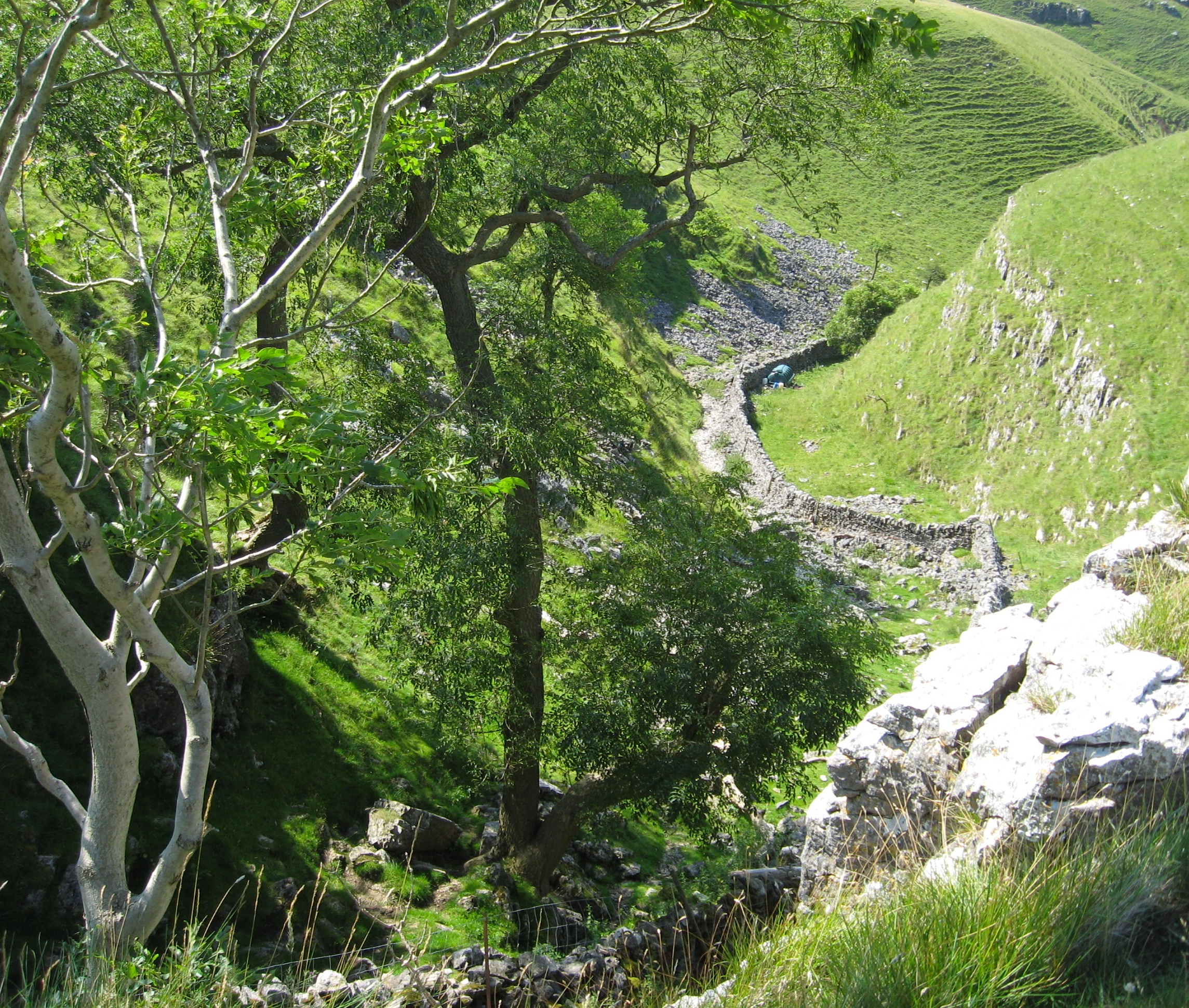
View down Dib from top, at Dalesway path
-

Conistone Dib
External links
- The ancient parish of Burnsall: historical and genealogical information at GENUKI (Conistone was in this parish)
Coordinates: 54°06′N 2°02′W / 54.1°N 2.033°W
Categories:- Villages in North Yorkshire
- Wharfedale
- North Yorkshire geography stubs
-


Wikimedia Foundation. 2010.