- Colorado State Highway 62
-
State Highway 62
Route information Maintained by CDOT Length: 23.41 mi[1] (37.67 km) Major junctions West end:  SH 145 at Placerville
East end:  US 550 at Ridgway
Highway system ←  SH 61
SH 61SH 63  →
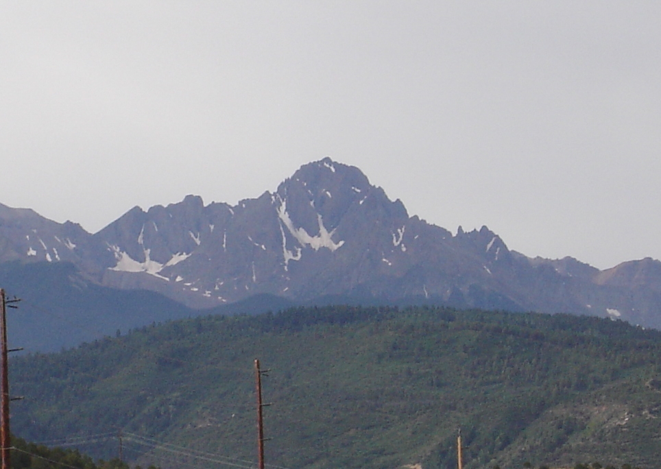
→ Mount Sneffels from SH 62.
State Highway 62 is a 23.41 mile (37.67 km) long state highway in the U.S. state of Colorado.
Route description
SH 62 starts at a junction with SH 145 just north of Ridgeway in the San Miguel River valley and heads northeast up the Leopard Creek Canyon. The highway bends slowly to the east before crossing the Dallas Divide at an elevation of 8,983 feet (2,738 m). It then follows Cottonwood and Dallas creeks downstream to Ridgeway, Colorado. The highway crosses the Uncompahgre River just before ending at a junction with US 550.[2]
State Highway 62 is part of the San Juan Skyway, designated as a National Scenic Byway in 1996.[3]
Major intersections
County Location Mile Destination Notes San Miguel Placerville 0.000 SH 145Ouray Ridgway 23.414 US 5501.000 mi = 1.609 km; 1.000 km = 0.621 mi References
- ^ "Segment list for SH 62". http://www.dot.state.co.us/app_DTD_DataAccess/Highways/index.cfm?fuseaction=Description&route=062&begRefPt=0&endRefPt=500&Printable=true. Retrieved 2007-05-12.
- ^ Colorado Atlas & Gazetteer (Third ed.). Yarmouth, Maine: DeLorme. 1997. p. 66. ISBN 0-89933-206-4.
- ^ "San Juan Skyway". American's Byways. http://www.byways.org/explore/byways/2101/index.html. Retrieved 2011-02-06.
Categories:- State highways in Colorado
- State highways in Ouray County, Colorado
- Transportation in San Miguel County, Colorado

Wikimedia Foundation. 2010.