- New Jersey Route 157
-
Route 157
North Shore Road 
Map of Route 157, which is highlighted in red.Route information Maintained by NJDOT Length: 0.91 mi[1] (1.46 km) Existed: 1953 – present Major junctions South end: 

 US 30 / CR 585 / CR 601 in Absecon
North end:  US 9 in Absecon
Highway system New Jersey State Highway Routes
Interstate and US←  Route 156
Route 158  →
→Route 157 is a short state highway in the city of Absecon, New Jersey. The route runs for only 0.91 miles (1.46 km) as North Shore Road from an intersection with U.S. Route 30, County Route 585 and Atlantic County Route 601 in the center of Absecon to an intersection with U.S. Route 9 in the northern portion of the city. The route is a former alignment of State Highway Route 4 through Absecon, intersecting with State Highway Route 43 starting in the 1927 state highway renumbering. The route stayed on the alignment until 1930, when Route 4 was bypassed to the west. The former alignment remained unnumbered until the 1953 state highway renumbering, when it was designated as Route 157.
Contents
Route description
Route 157 begins at a large intersection with U.S. Route 30 (White Horse Pike), County Route 585 (South Shore Road), Atlantic County Route 601 (New Jersey Avenue) and Creek Road in the city of Absecon. The route heads northward along North Shore Road, passing through the local commercial districts of Absecon. Intersecting with Station Road (the highway connecting Route 157 to the Absecon train station), the route leaves the commercial district and enters the residential areas. There, Route 157 intersects with Atlantic County Route 634 (West Church Street). Route 157 continues northward, intersecting with local roads in a small patch of forestry. At an intersection with Faunce Landing Road, Route 157 turns to the northeast onto its final stretch. Continuing through the forestry, the highway intersects with several local roads and traverses near some residential homes. Still in Absecon, Route 157 becomes surrounded by residential homes, terminating at an intersection with U.S. Route 9 (Wyoming Avenue).[2]
History
Route 157 originates as an alignment of State Highway Route 4 through Absecon (from an intersection with New Jersey Route 43). The route was originally designated in the 1927 renumbering as a state highway from Absecon to Paterson.[3] In 1930, the route was extended southward to Cape May, New Jersey, and the alignment of current-day Route 157 was bypassed to the west.[4] The former alignment of Route 4 was left unnumbered.[5] Route 157 was designated to a previously unnumbered roadway[6] and has remained unchanged since.[7]
Major intersections
The entire route is in Absecon, Atlantic County.
Mile[1] Destinations Notes 0.00 US 30 (White Horse Pike) / CR 585 (South Shore Road) / CR 601 (New Jersey Avenue)Right-of-way continues southward as CR 585 0.91 US 9 (Wyoming Avenue)Right-of-way continues northward as US 9 1.000 mi = 1.609 km; 1.000 km = 0.621 mi See also
 U.S. Roads portal
 New Jersey portal
- New Jersey Route 166
- New Jersey Route 167
References
- ^ a b "Route 157 straight line diagram". New Jersey Department of Transportation. 2009. http://www.state.nj.us/transportation/refdata/sldiag/00000157__-.pdf. Retrieved November 9, 2009.
- ^ Bing Maps/Microsoft Inc. (2009). Overview map of Route 157 (Map). Cartography by NAVTEQ Inc.. http://www.maps.bing.com/maps/default.aspx?v=2&FORM=LMLTCP&cp=qk4xsh8ss83c&style=b&lvl=2&tilt=-90&dir=0&alt=-1000&phx=0&phy=0&phscl=1&scene=14901644&rtp=pos.39.4232288002968_-74.4996314495802_near%203%20N%20Shore%20Rd%2C%20Absecon%2C%20New%20Jersey%2008201%2C%20United%20States__~pos.39.4328284263611_-74.4894853234291_near%20590%20N%20Shore%20Rd%2C%20Absecon%2C%20New%20Jersey%2008201%2C%20United%20States__&rtop=0~0~0&encType=1. Retrieved November 9, 2009.
- ^ Williams, Jimmy and Sharon. "1927 Tydol Trails Map - South". 1920s New Jersey Highways. http://www.jimmyandsharonwilliams.com/njroads/1920s/maps/1927tt2.jpg. Retrieved November 9, 2009.
- ^ New Jersey State Legislature: Takeover: Beesley's Point Bridge to Shore Road in Absecon, June 24, 1930.
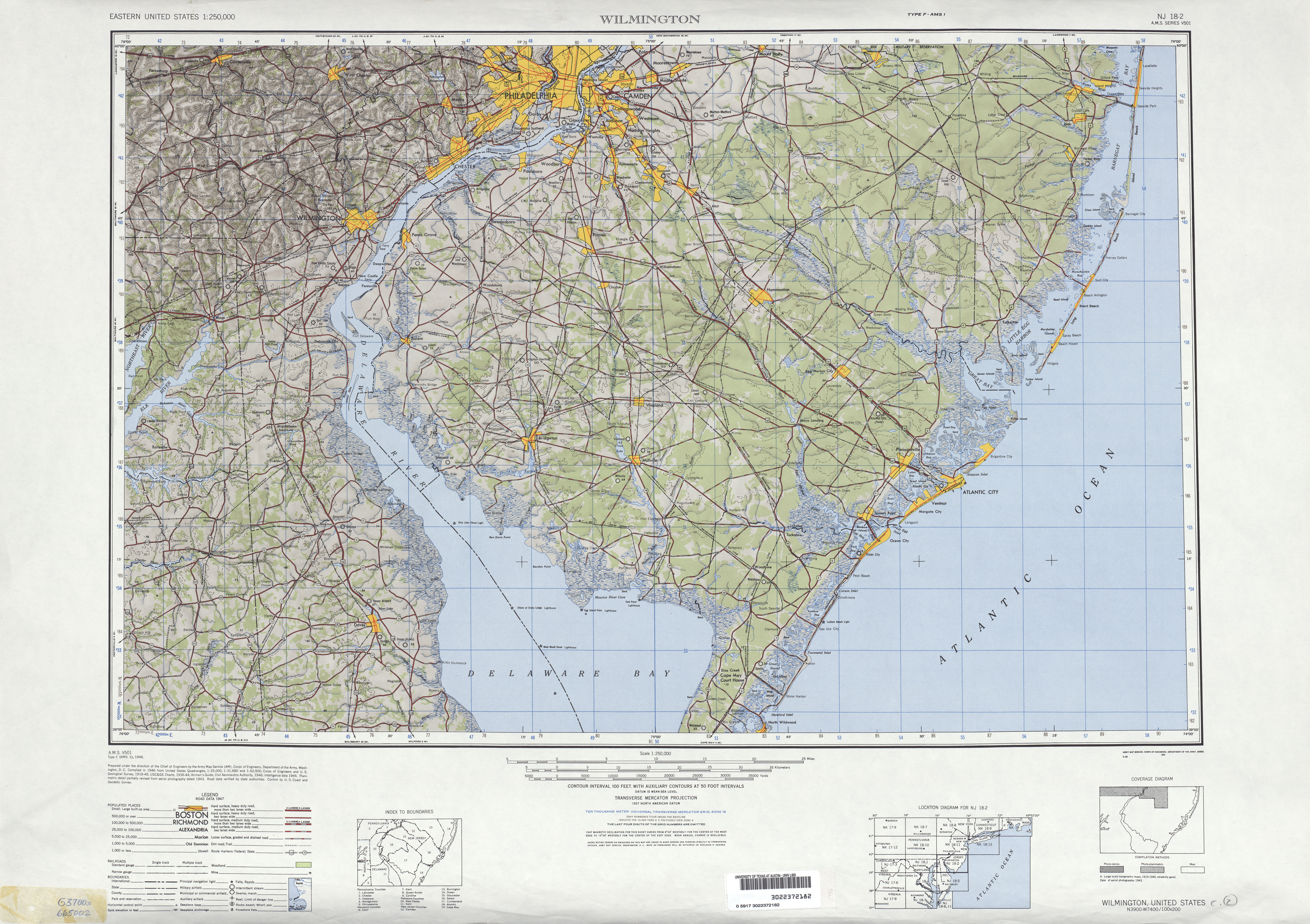
- ^ United States Geological Survey (1946). Wilmington, Delaware 1:250,000 Quadrangle (Map). http://www.lib.utexas.edu/maps/topo/250k/txu-pclmaps-topo-us-wilmington-1946.jpg. Retrieved November 9, 2009.
- ^ 1953 renumbering, New Jersey Department of Highways, http://en.wikisource.org/wiki/1953_New_Jersey_state_highway_renumbering, retrieved July 31, 2009
- ^ New Jersey Department of Transportation (2007). New Jersey Official Road Map (Map). Cartography by New Jersey Department of Transportation.
External links
Categories:- State highways in New Jersey
- Transportation in Atlantic County, New Jersey


Wikimedia Foundation. 2010.