- Mount Abraham (Vermont)
-
Mount Abraham Addison County, Vermont, USA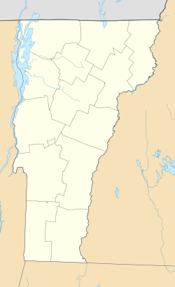
 Mount Abraham
Elevation 4,017 ft (1,224 m) NAVD 88[1] Prominence 286 ft (87 m) [2] Listing New England 4,000 footers Location Range Presidential Range, Green Mountains Coordinates 44°07′13.49″N 72°56′10.28″W / 44.1204139°N 72.9361889°WCoordinates: 44°07′13.49″N 72°56′10.28″W / 44.1204139°N 72.9361889°W[1] Topo map USGS Lincoln Mount Abraham is the fifth tallest peak in the U.S. state of Vermont. The summit supports a small amount of alpine vegetation and offers a view of the Champlain Valley and Adirondack Mountains to the west. Mount Abraham is on the Long Trail, a 272-mile (438 km) hiking trail running the length of Vermont. The mountain summit can be reached from the south (Lincoln Gap) or from the north (Lincoln Peak, Mount Ellen, Monroe Skyline). There is no camping permitted at the summit, but Battell Shelter is located roughly one mile from the summit south on the Long Trail.
Mount Abraham is the highest point in Addison County. The mountain — named after Abraham Lincoln, the 16th President of the United States — is part of the Green Mountains' Presidential Range. In 1881 the mountain was known as Potato Hill and this is name is stamped on the benchmark at the summit which was reset in 1978.[1]
Mount Abraham stands within the watershed of Lake Champlain, which drains into the Richelieu River in Québec, thence into the Saint Lawrence River, and into the Gulf of Saint Lawrence. The southeast face of Mt. Abraham drains into Lincoln Brook, thence into the Mad River, the Winooski River, and into Lake Champlain. The southwest face of Abraham drains into the New Haven River, Otter Creek, and into Lake Champlain. The northwest face of Abraham drains into Beaver Meadow Brook, thence into the New Haven River.
See also
References
- ^ a b c "Potato Hill Reset". NGS data sheet. U.S. National Geodetic Survey. http://www.ngs.noaa.gov/cgi-bin/ds_mark.prl?PidBox=PG1677. Retrieved 2008-12-15.
- ^ "Mount Abraham, Vermont". Peakbagger.com. http://www.peakbagger.com/peak.aspx?pid=7023. Retrieved 2008-12-11.
External links
- "Mount Abraham". SummitPost.org. http://www.summitpost.org/mountain/rock/154524/mount-abraham-vt.html. Retrieved 2008-12-15.
- "Mount Abraham". Geographic Names Information System, U.S. Geological Survey. http://geonames.usgs.gov/pls/gnispublic/f?p=gnispq:3:::NO::P3_FID:1460513. Retrieved 2008-12-15.
4000-foot mountains of New England Baxter State Park High Peaks Abraham · Crocker · Redington · Saddleback · Saddleback, The Horn · South Crocker · Spaulding · SugarloafBigelow Range Eastern White Mountains Northern ranges Carter-Moriah Range Presidential Range Crawford Notch area Twin Range Pemigewasset Wilderness Sandwich Range Osceola · Osceola (East) · Tripyramid (Middle) · Tripyramid (North) · Passaconaway · Tecumseh · WhitefaceFranconia Range Western White Mountains Green Mountains Categories:- Mountains of Vermont
- New England Four-thousand footers
- Geography of Addison County, Vermont

Wikimedia Foundation. 2010.