- River Tamar
Geobox River
name = River Tamar
native_name =
other_name =
other_name1 =
image_size =
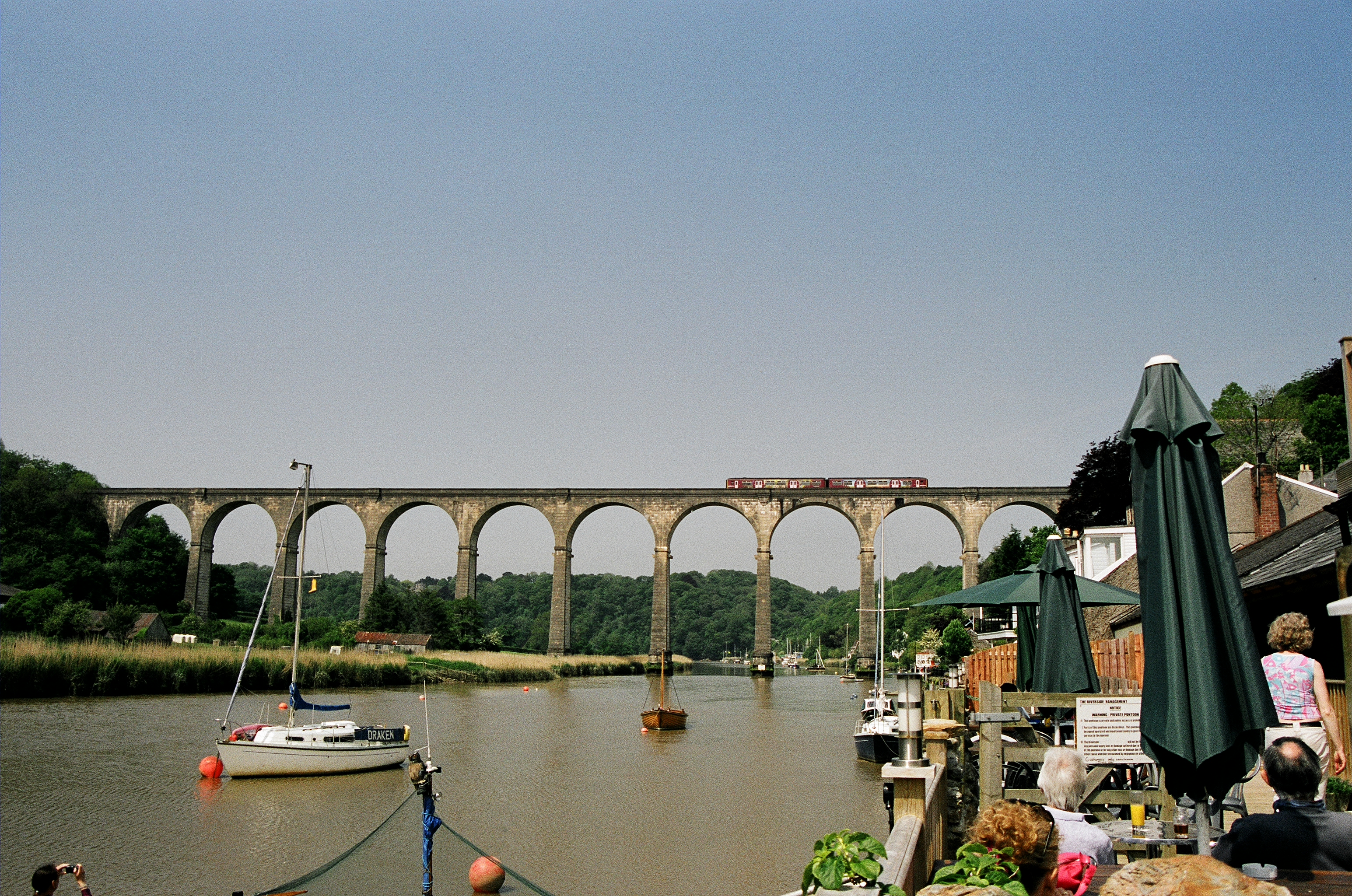
image_caption = The Calstock Viaduct crossing the River Tamar
country = England
region = Cornwall
region1 = Devon
city =
city1 =
length =
watershed =
discharge_location =
discharge_average =
discharge_max =
discharge_min =
discharge1_location =
discharge1_average =
source_name =
source_location =East Youlstone
source_district =
source_region =
source_state =
source_country =
source_lat_d = 50
source_lat_m = 54
source_lat_s = 50
source_lat_NS = N
source_long_d = 4
source_long_m = 27
source_long_s = 10
source_long_EW = W
source_elevation =
source_length =
mouth_name = Hamoaze
mouth_location = Plymouth Sound
mouth_district =
mouth_region = English Channel
mouth_state =
mouth_country =
mouth_lat_d = 50
mouth_lat_m = 21
mouth_lat_s = 30
mouth_lat_NS = N
mouth_long_d = 4
mouth_long_m = 10
mouth_long_s = 0
mouth_long_EW = W
mouth_elevation =
tributary_left =
tributary_left1 =
tributary_right =
tributary_right1 =
free_name =
free_value =
map_size =
map_caption =The Tamar is a
river in south westernEngland , that forms most of the border betweenDevon (to the east) andCornwall (to the west). At its mouth, the Tamar flows into theHamoaze where it joins with theRiver Lynher before enteringPlymouth Sound . The river has some 20 road crossings, including theTamar Bridge , a toll bridge on the A38trunk road and the world renownedRoyal Albert Bridge .The Tamar's source is less than 6km (4 miles) from the north Cornish coast, but it flows southward. North of the source the Cornish border heads to the sea along
Marsland Water , making Cornwall nearly an island.In a few places the border deviates from the river, leaving, for instance, the Devon village of
Bridgerule on the 'Cornish' side. Curiously, the modern administrative border between Devon and Cornwall more closely follows the Tamar than the historic county border. Several villages north of Launceston which are west of the Tamar were actually in Devon until the 1960s.The Tamar Valley
Area of Outstanding Natural Beauty covers around 195km² (75 square miles) around the lower Tamar (below Launceston) and its tributaries the Tavy and the Lynher. It was first proposed in 1963, but was not designated until 1995.cite web|title=Tamar Valley Area of Outstanding Natural Beauty: About the Tamar Valley AONB|url=http://www.tamarvalley.org.uk/aboutaonb.asp] Rocks around the edge ofDartmoor were mineralised by fluids driven by the heat, which gave rise to ores containingtin ,copper ,tungsten ,lead and other minerals in the Valley. [cite web|url=http://www.plymouth.gov.uk/characteristicsplymouth|title=Characteristics of the City of Plymouth (The geology)|publisher=Plymouth City Council|accessdate=2008-07-26]A traditional Cornish tale claims that the devil would never dare to cross the River Tamar into Cornwall for fear of ending up as a pasty filling. cite book|title=Cornish Recipes: Ancient and Modern|author=Edith Martin|publisher=A. W. Jordan]
ee also
* The Tamar River in
Tasmania was named after this Tamar.
*Rivers of the United Kingdom
*Tamar Valley Line External links
* [http://www.tamarvalley.org.uk/index1.htm Tamar Valley AONB]
* [http://www.carfreedaysout.com/tamar.htm Tamar Valley Line]
* [http://en.wikipedia.org/wiki/Morwellham_Quay Morwellham Quay]References
Wikimedia Foundation. 2010.