- Syöte National Park
Geobox|Protected Area
name = Syöte National Park
native_name = Syötteen kansallispuisto
other_name =
other_name1 =
category_local = National Park of Finland
category_iucn = II

image_size =
image_caption =
country = Finland
country_
state =
state_type =
state_
region =
region_type = Province
location =
lat_d = 65
lat_m = 44
lat_s = 51
lat_NS = N
long_d = 27
long_m = 54
long_s = 43
long_EW = E
elevation =
biome =
biome_share =
biome1 =
biome1_share =
geology =
geology1 =
plant =
plant1 =
animal =
animal1 =
area = 299
area1 =
area1_type =
length =
length_orientation =
width =
width_orientation =
highest =
highest location =
highest_lat_d =
highest_lat_m =
highest_lat_s =
highest_lat_NS =
highest_long_d =
highest_long_m =
highest_long_s =
highest_long_EW =
highest_elevation =
lowest =
lowest_location =
lowest_lat_d =
lowest_lat_m =
lowest_lat_s =
lowest_lat_NS =
lowest_long_d =
lowest_long_m =
lowest_long_s =
lowest_long_EW =
lowest_elevation =
established_type = Established
established = 2000
established1_type =
established1 =
management_body =Metsähallitus
management_location =
management_lat_d =
management_lat_m =
management_lat_s =
management_lat_NS =
management_long_d =
management_long_m =
management_long_s =
management_long_EW =
management_elevation =
visitation = 33500
visitation_date = 2005
free_type =
free =
free1_type =
free1 =
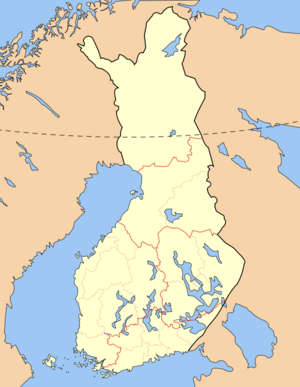
map_locator_x = 57.2
map_locator_y = 55.9
map_size =
map_caption =
map_first =
website = http://www.outdoors.fi/syotenpSyöte National Park ("Syötteen kansallispuisto") is a
national park in Oulu andLapland Province s,Finland . Syöte National Park is a chain of old-growthforests , part of which is high altitude forest. One fourth of the area of the park is covered by mires of different types.See also
*
List of national parks of Finland
*Protected areas of Finland External links
* [http://www.outdoors.fi/syotenp Outdoors.fi – Syöte National Park]

Wikimedia Foundation. 2010.