- Nanda Kot
-
Nanda Kot 
Elevation 6,861 m (22,510 ft) [1] Prominence 1,592 m (5,223 ft) [1] Listing Ultra Location Location in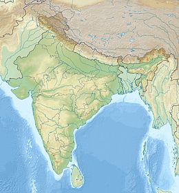
 Nanda Kot
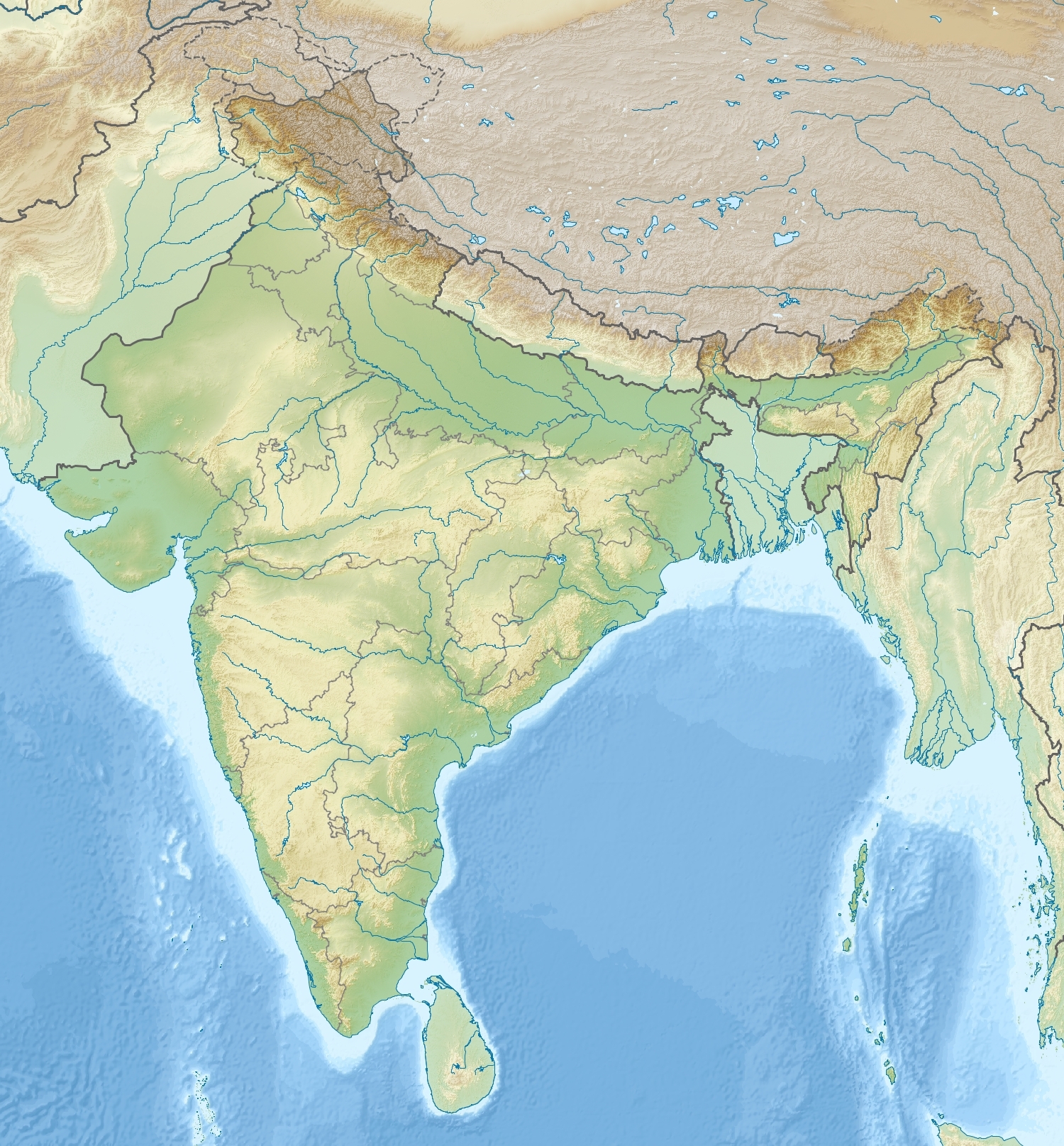
 India
IndiaLocation Pithoragarh, Uttarakhand, India Range Kumaun Himalaya Coordinates 30°16′54″N 80°04′06″E / 30.28167°N 80.06833°ECoordinates: 30°16′54″N 80°04′06″E / 30.28167°N 80.06833°E[1] Climbing First ascent 1936 by Y. Hotta Easiest route Lawan Valley Nanda Kot (Hindi-नन्दा कोट) is a mountain peak of the Himalaya range located in the Pithoragarh district of Uttarakhand state in India. It lies in the Kumaon Himalaya, just outside of the ring of peaks enclosing the Nanda Devi Sanctuary, 15 kilometres (9 mi) southeast of Nanda Devi itself. The name Nanda Kot literally means "Nanda's Fortress" and refers to the abode of one of the sacred forms of the Hindu Goddess Parvati who in legend has made her sanctuary amongst the ring of lofty mountains in the region.
Nanda Kot is connected to the Sanctuary wall by a high pass known as the Pindari Kanda, 5,269 m (17,287 ft). This pass, Nanda Kot itself, and the ridge proceeding south from the peak together form the divide between the Pindar and Ghori Ganga River valleys, with Dana Dhura Pass connecting the two sides. The Kaphni (or Kafani), Pindar, Lawan, and Shalang Glaciers drain the south, west, north, and east sides of the peak respectively.[2]
The first attempt to climb Nanda Kot was made in 1905 by T.G. Longstaff, who proceeded by way of the Lawan Valley and Lawan Glacier. The first successful ascent of the summit came in 1936 by a Japanese team led by Y. Hotta. A new route involving a direct ascent of the south face was successfully undertaken by a British expedition led by Martin Moran in 1995. Mountaineering expeditions to Nanda Kot today typically follow the route through Loharkhet, Dhakuri Pass, Khati Village to Dwali base camp.
Outlying subpeaks of Nanda Kot include:
- Changuch, 6,322 m (20,741 ft)
- Kuchela, 6,294 m (20,650 ft)
- Nandabhaner (or Nandabhanar), 6,236 m (20,459 ft)
- Dangthal, 6,050 m (19,849 ft)
- Lespa Dhura (or Laspa Dhura), 5,913 m (19,400 ft)
- Lamchir, 5,662 m (18,576 ft)
Contents
Nanda Devi/Nanda Kot nuclear controversy
In 1965, a covert mission was launched by an Indo-American team with the goal of installing a surveillance device on the top of Nanda Devi mountain to monitor Chinese nuclear and missile activity in Tibet. Shortly after delivery to the mountain, the thermonuclear generator designed to supply power to the sensor was lost during a storm and threatened to become a source of radioactive contamination to the area. Following upon at least three futile attempts between 1966-1968 to locate and recover the lost apparatus, it is said that in 1968 a similar device placed only the year before on Nanda Kot was dismantled. After more than a decade of secrecy, this story hit the Indian news media in 1978. There is still debate over these expeditions and whether any remnants of the radioactive materials remain in the vicinity of Nanda Kot to this day.
External links
Nanda Kot Nuclear Controversy:[1] [2] [3] [4]
See also
References
- ^ a b c http://peaklist.org/WWlists/ultras/karakoram.html
- ^ Garhwal-Himalaya-Ost, 1:150,000 scale topographic map, prepared in 1992 by Ernst Huber for the Swiss Foundation for Alpine Research, based on maps of the Survey of India.
Books
- Harish Kapadia, Across Peaks and Passes in Kumaun Himalaya.
- Peter Takeda, An Eye At The Top Of The World, Thunder's Mouth Press, 2006, ISBN 9781560258452
Categories:- Central Intelligence Agency
- Indian intelligence agencies
- Mountains of Uttarakhand
- Mountains of India
- Pithoragarh district

Wikimedia Foundation. 2010.