- North Rustico, Prince Edward Island
-
North Rustico, Prince Edward Island — Village — Downtown North Rustico Location of North Rustico in PEI
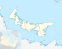

Coordinates: 46°27′30″N 63°18′47″W / 46.45831°N 63.31296°W Country Canada Province Prince Edward Island County Queens Parish Charlotte Lot Lot 24 Government – Type Village Council – Chairperson David Blacquiere – Vice Chair Gail Gallant – Councillors Shane McKenna
Dan MacFarlane
Fred LeClair
Randy Perry
Nancy Gauthier– CAO Patsy Gamauf Area – Total 2.46 km2 (0.9 sq mi) Population (2001 population: 637) – Total 637 Time zone AST – Summer (DST) ADT (UTC) Canadian postal code C0A 1X0 Area code(s) 902 NTS Map 011L06 GNBC Code BABYB Website http://www.northrustico.net North Rustico (2001 population: 637) is a village located in the northern part of Queens County, Prince Edward Island, Canada.
It became an incorporated municipality in 1954. The village is known to locals, as well as many others as "The Crick". The village is part of the Cavendish beaches and the Duneshores Tourism Association, and accounts for a large part of the Island's north shore resort area.
North Rustico is well known for its Canada day celebration every year on July 1. The event usually attracts in excess of 10,000 people, which packs the village quite full, it includes festivities in the park, a parade down main street, as well as a boat parade on Rustico Harbour. The celebration is popular among families, and among teenagers and adults. The day is completed around 10:00 p.m. by a fireworks display over the bay.
Contents
Economy
North Rustico's primary industries in order of importance are fishing, tourism and agriculture. Located 30 km (19 mi) northwest of Charlottetown, the village is increasingly becoming an exurb with residents commuting to work in the city.
Since the 1996 census, the village has witnessed a population decline of -2% in year-round residents. During the short summer tourist season on Prince Edward Island in July and August, the village's proximity to the Prince Edward Island National Park results in a temporary population expansion with many visitors staying in nearby accommodations.
The village has 255 dwellings and the median household income is $126,855, compared with the provincial average of $60,512. There are many seasonal homes or cottages owned by non-residents which are occupied for only several weeks during the summer months.
The fishing industry remains the village's most important economic activity, with approximately 40 vessels home-ported in a small craft harbour. Lobster fishing is the main focus for much of the fleet and during May and June fresh north shore P.E.I lobster can be bought in a fish market on the harbour wharves or directly off of the boats."Fisherman's Wharf Lobster Suppers" and the "Blue Mussel Cafe" are popular places to enjoy the fresh seafood of Prince Edward Island .
In the summer, this village is one of the Island's most popular destinations. On a warm summer evening, dozens of people can be found strolling the village's waterfront boardwalk, which overlooks the bay and fishing docks.
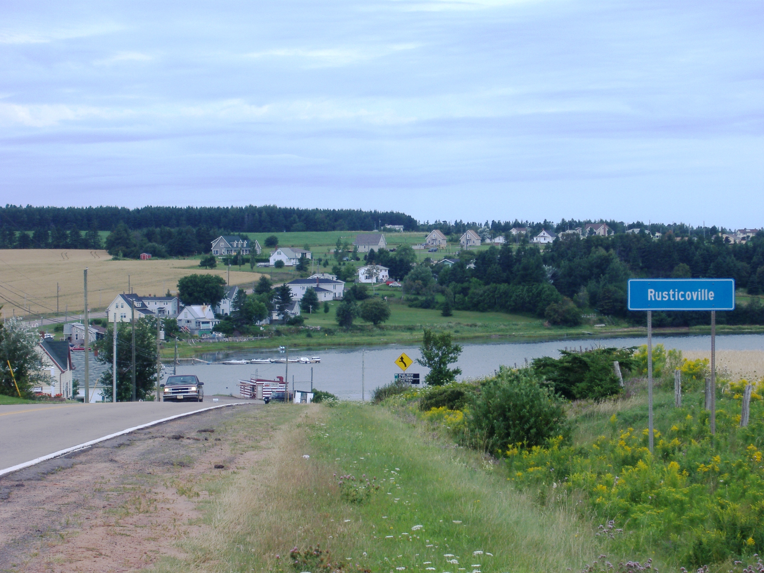
 Community of Rusticoville.
History
The village of North Rustico was founded circa 1790, around a small natural harbour along the Gulf of St. Lawrence coast. The region was home to a remnant Acadian population who fled British capture and deportation during the Seven Years' War (see Great Upheaval), although English, Scottish and Irish settlers moved into the area during the remainder of the 18th century and throughout the 19th and 20th centuries.
The name Rustico comes from Rassicot, who was one of the first settlers from France.
The Farmers' Bank of Rustico, founded and managed under the leadership of Father Georges-Antoine Belcourt, received Royal Assent for its act of incorporation at the Court of Windsor on April 7, 1864. It is often considered to have been the first community-based bank in Canada. The bank building was designated a National Historic Site of Canada in 1959.[1]
Recreation
North Rustico offers sea kayaking, cycling, and walking and hiking.
External links
- Government of PEI Profile
- North Rustico
- Site of the Museum of the Farmers' Bank of Rustico, PEI
- Epodunk Canada Profile
- Government of PEI Municipality Information
References
- ^ Farmers' Bank of Rustico. Canadian Register of Historic Places. Retrieved 25 September 2011.
 Subdivisions of Prince Edward Island
Subdivisions Cities Towns Coordinates: 46°27′41.44″N 63°18′31.37″W / 46.4615111°N 63.3087139°W
Categories:- Populated places established in 1790
- Communities in Queens County, Prince Edward Island


Wikimedia Foundation. 2010.