- Mount Poroshiri
-
Mount Poroshiri 幌尻岳 
A view from Mount Tottabetsu(September 2006)Elevation 2,052.8 m (6,735 ft) [1] Listing List of mountains and hills of Japan by height
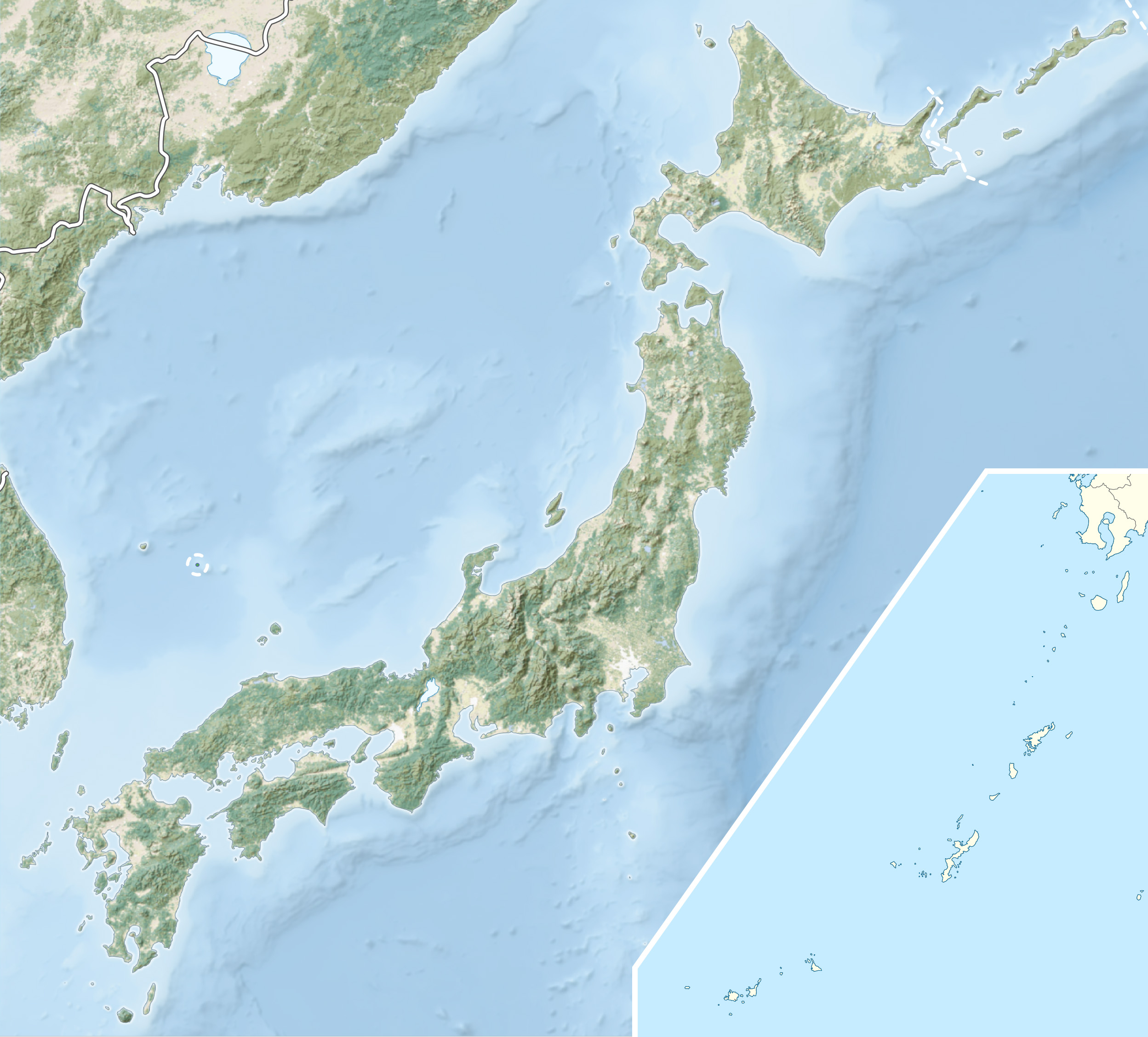
100 Famous Japanese MountainsTranslation big mountain (Ainu) Location Location of Mount Poroshiri in Japan.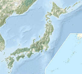
 Mount Poroshiri
Location Hokkaidō, Japan Range Hidaka Mountains Coordinates 42°43′9″N 142°40′58″E / 42.71917°N 142.68278°ECoordinates: 42°43′9″N 142°40′58″E / 42.71917°N 142.68278°E[1] Topo map Geospatial Information Authority (国土地理院 Kokudochiriin) 25000:1 幌尻岳
50000:1 夕張岳Geology Type Fold Mount Poroshiri (幌尻岳 Poroshiri-dake) or sometimes Mount Horoshiri is located in the Hidaka Mountains, Hokkaidō, Japan. It is the highest mountain in the Hidaka range, and is one of the 100 famous mountains in Japan.[2]
Contents
Climbing route
Nukabira course
The Nukabira course (額平コ-ス) course is a two-day course.[3]
On the first day, drive 35 km from Furenai (振内) to the Rindō Gate (林道ゲート). From the gate it is a 5 km (2 hours) hike to the Shusui Dam (取水ダーム) on the Nukabira River (額平川). From the dam it is another 4 km (3 hours) to the Poroshiri Mountain Cottage (幌尻山荘 poroshiri-dake san-sou). The cottage is maintained by the Biratori Alpine Club and sits 950 m above sea level.[3]
For the second day, the route climbs 1.5 km (2 hours) from the mountain cottage to the Spring of Life (命の泉 inochi no izumi). The route continues another 2.5 km (2 hours) along the field of alpine flowers past the North Cirque (北カール kita kāru) to the summit. The route then turns north and runs 3 km (2 hours) along the Seven Pond Cirque (七つ沼カール nanatsu-numa-kāru) to the summit of Mount Tottabetsu (1959m). From there it is a 1 km (30 minute) walk to Mount Naka Tottabetsu. The route then descends 3 km (2 hours) to the Mount Poroshiri Mountain Cottage.[3]
Niikappu River course
The Niikappu River course starts at Okuniikappu Hatsudensho gate (奥新冠発電所ゲート). From there the trail proceeds to Okuniikappu Dam (奥新冠ダーム), which forms Lake Poroshiri. From the dam the trail goes to a survey cabin along the Poroshiri River and then onto the mountain ridge before ascending to the summit.[4]
References
- ^ a b Geospatial Information Authority topo map 25000:1 幌尻岳
- ^ "幌尻岳登山をされる方へ" (in Japanese) (PDF). Biratori Town. http://www2.town.biratori.hokkaido.jp/biratori/shisetsu/image/spot/climb.pdf. Retrieved 1 October 2010.
- ^ a b c "幌尻岳登山コース概念図とコースタイム" (in Japanese) (PDF). Biratori Town. http://www2.town.biratori.hokkaido.jp/biratori/shisetsu/image/spot/spot_02_course.pdf. Retrieved 7 October 2010.
- ^ Umezawa, Shun; Yasuhiko Sugawara and Jun Nakagawa (1991) (in Japanese). 北海道夏山ガイド4日高山脈の山やま. Hokkaidō Shimbunshya. pp. 96–109. ISBN 4-89363-605-7.
- Shyun Umezawa, Yasuhiko Sugawara, and Jun Nakagawa, Hokkaidō Natsuyama Gaido 4: Hidaka Sanmyaku no Yamayama (北海道夏山ガイド4日高山脈の山やま), Sapporo, Hokkaidō Shimbunshya, 1991. ISBN 4-89363-605-7
Categories:- Mountains of Hokkaidō
- Hokkaidō geography stubs

Wikimedia Foundation. 2010.