- National Register of Historic Places listings in Barbour County, Alabama
-
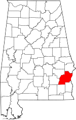 Location of Barbour County in Alabama
This is a list of the National Register of Historic Places listings in Barbour County, Alabama.
This is intended to be a complete list of the properties and districts on the National Register of Historic Places in Barbour County, Alabama, United States. Latitude and longitude coordinates are provided for many National Register properties and districts; these locations may be seen together in a Google map.[1]
There are 19 properties and districts listed on the National Register in the county, including 1 National Historic Landmark.
-
- This National Park Service list is complete through NPS recent listings posted November 10, 2011.[2]
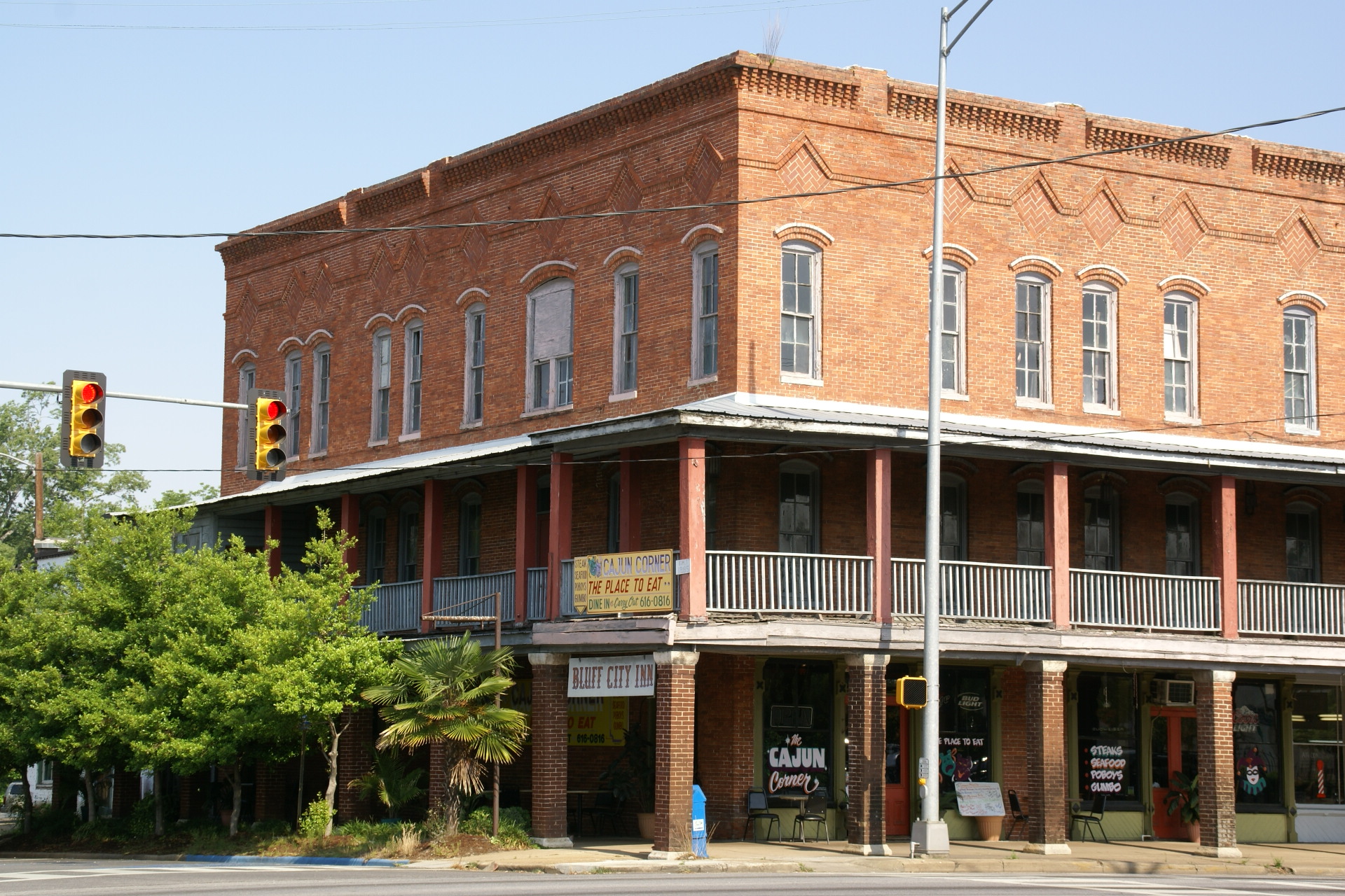
Current listings
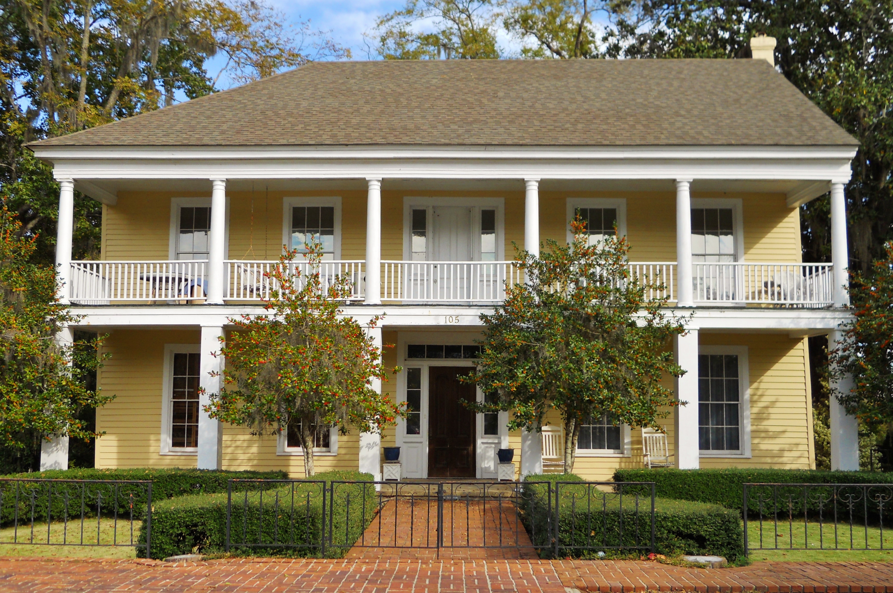
[3] Landmark name Image Date listed Location City or town Summary 1 Bray-Barron House 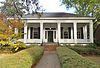
May 27, 1971 N. Eufaula Ave.
31°53′50″N 85°08′40″W / 31.897222°N 85.144444°WEufaula 2 Cato House 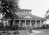
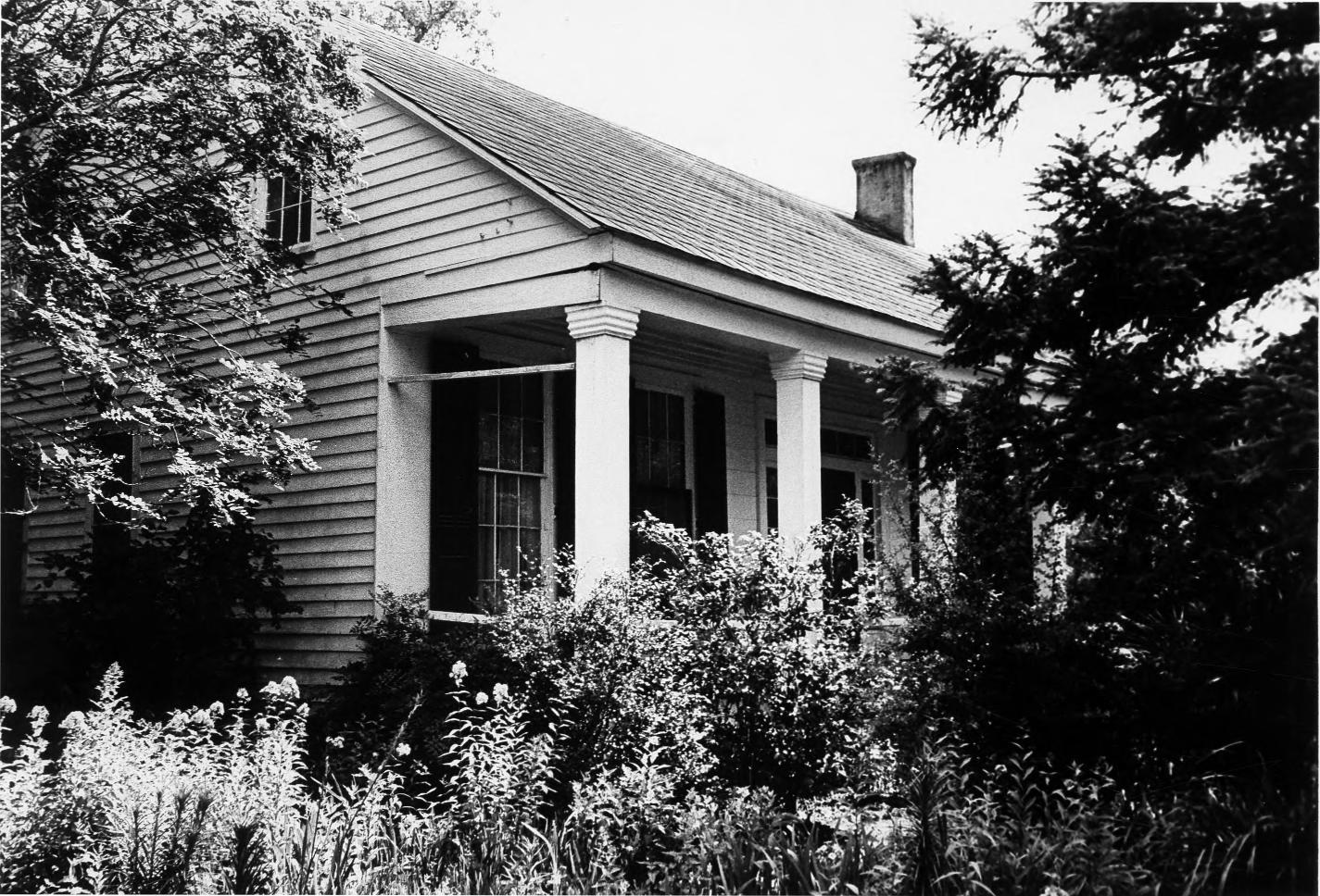
May 27, 1971 823 W. Barbour St. Eufaula 3 Henry D. Clayton House 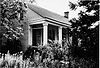
December 8, 1976 1 mile south of Clayton off State Route 30
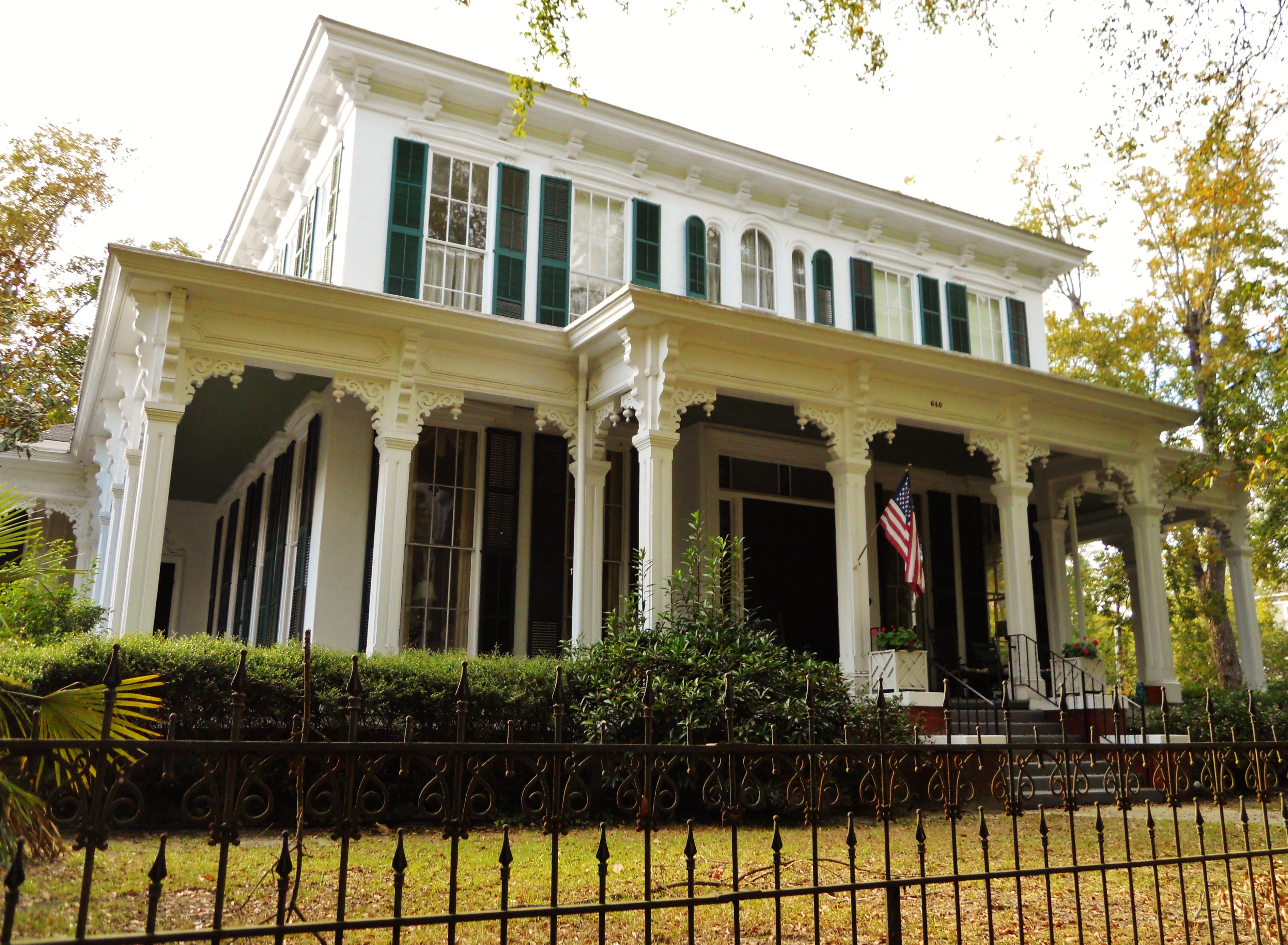
31°51′55″N 85°27′03″W / 31.865278°N 85.450833°WClayton Built around 1850, this was the home of Confederate General Henry D. Clayton, Sr., former President of the University of Alabama as well as his son Henry D. Clayton, Jr., a legislator, a judge and the author of the Clayton Antitrust Act of 1914. 4 Drewry-Mitchell-Moorer House 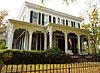
April 13, 1972 640 N. Eufaula Ave.
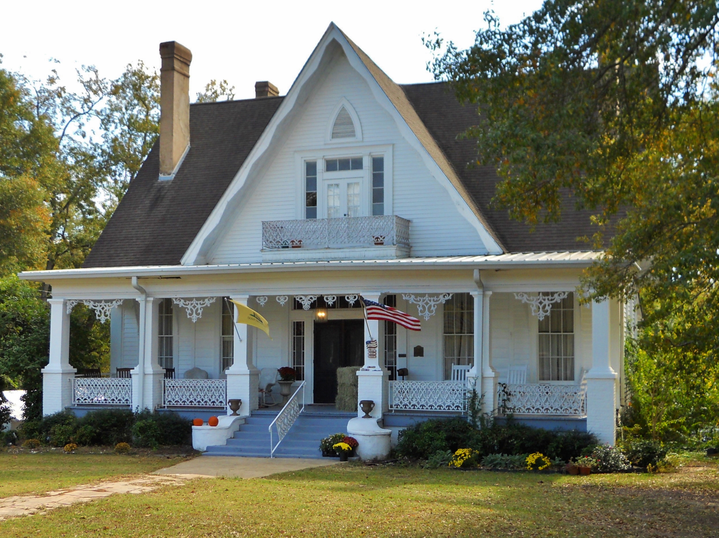
31°53′58″N 85°08′40″W / 31.899444°N 85.144444°WEufaula 5 Fendall Hall 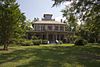
July 28, 1970 Barbour St.
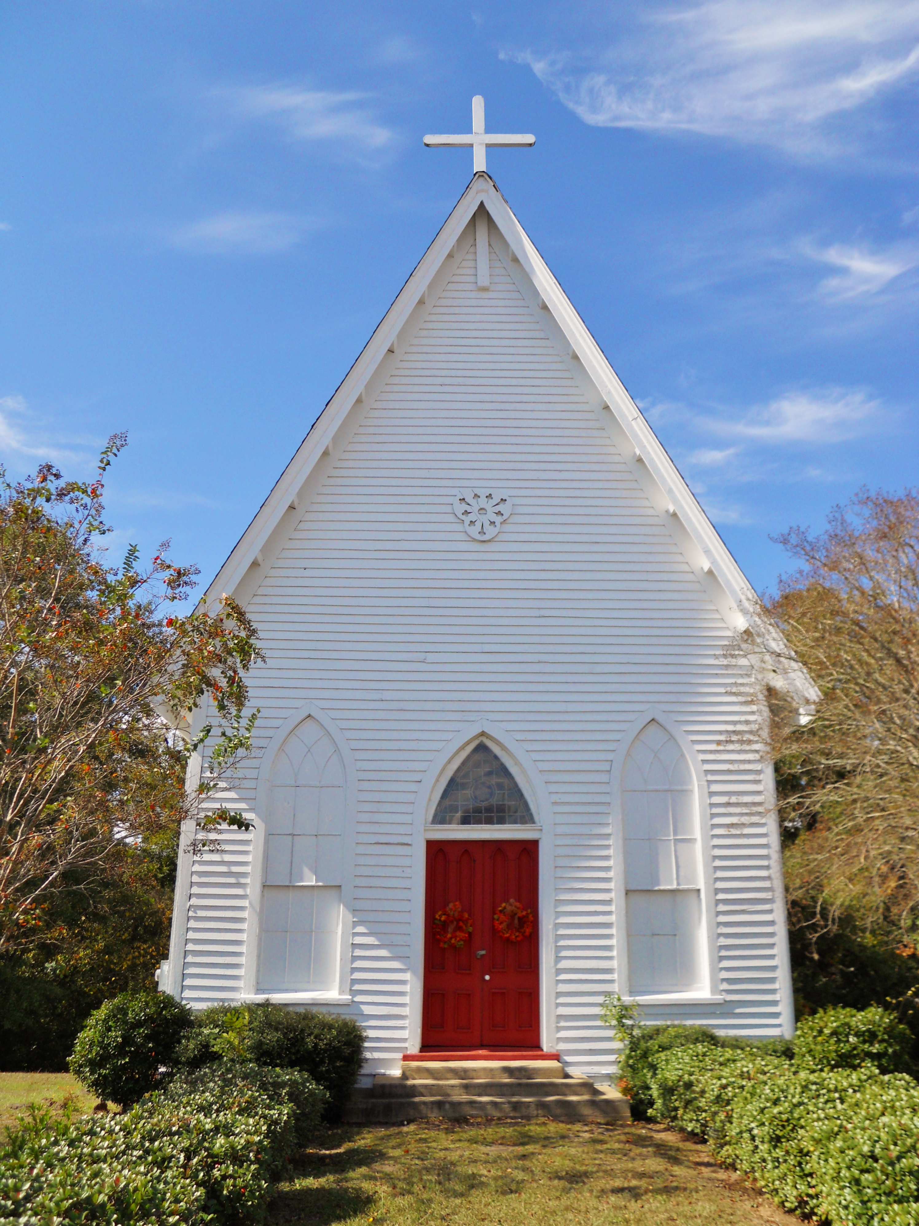
31°53′30″N 85°25′30″W / 31.891667°N 85.425°WEufaula 6 Grace Episcopal Church 
September 22, 1995 Louisville St. south of Courthouse Sq.
31°52′38″N 85°27′00″W / 31.877222°N 85.45°WClayton 7 Kendall Manor 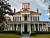
January 14, 1972 534 W. Broad St.
31°53′35″N 85°09′08″W / 31.893056°N 85.152222°WEufaula Also known as Kendall Manor Bed and Breakfast 8 Kiels-McNab House 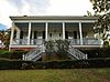
January 21, 1982 W. Washington St.
31°53′16″N 85°09′16″W / 31.887778°N 85.154444°WEufaula 9 Lore Historic District 
December 12, 1973 Bounded by Eufaula Ave. and Browder, Livingston, and Barbour Sts.; also roughly bounded by Browder St., Van Buren Ave., Washington St., and Sanford Ave.
31°53′48″N 85°08′36″W / 31.896667°N 85.143333°WEufaula Second set of boundaries represents a boundary increase, the Seth Lore and Irwinton Historic District, listed on August 14, 1986 10 McNab Bank Building 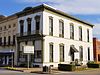
June 24, 1971 201 East Broad St.
31°53′33″N 85°08′37″W / 31.8925°N 85.143611°WEufaula Now known as The Lewis Agency, the building dates back to the 1850s and is one of the oldest bank buildings in Alabama. 11 Miller-Martin Town House 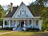
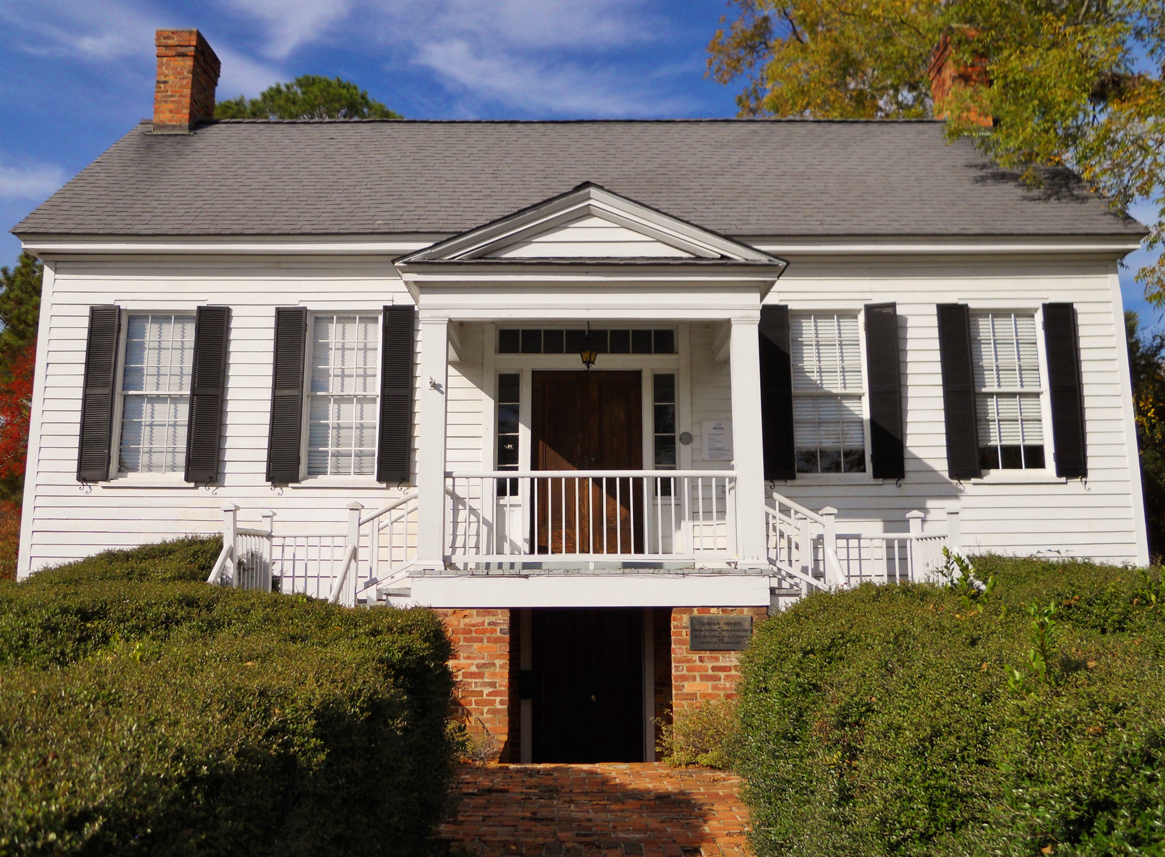
December 16, 1974 Louisville Ave.
31°52′29″N 85°27′07″W / 31.874722°N 85.451944°WClayton Built in 1859 by John H. Miller, this Gothic Revival townhouse is noteworthy for its hand-painted murals on the entrance hall ceiling which depict the four seasons as well as other designs on the parlor and dining hall ceilings. 12 Petty-Roberts-Beatty House 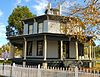
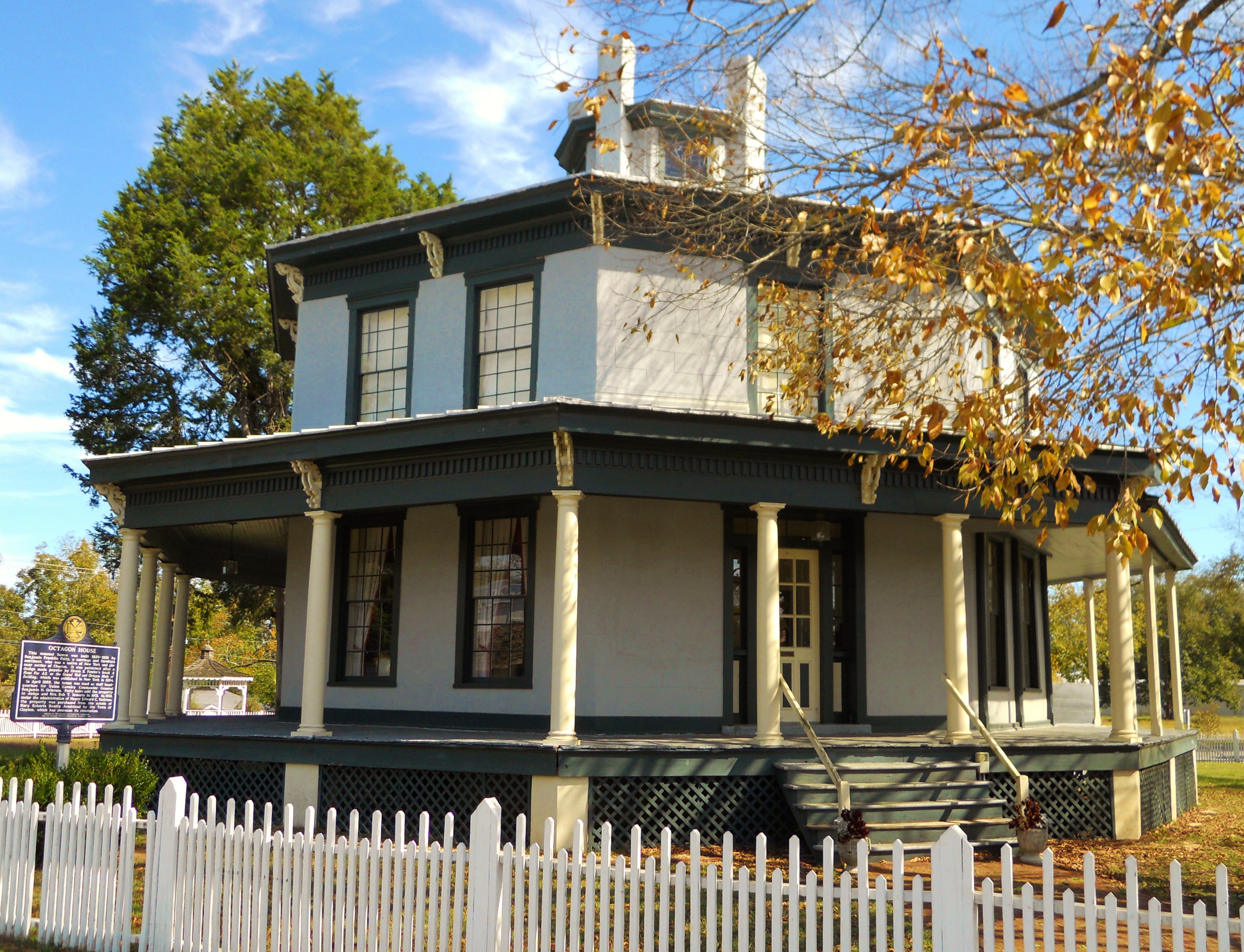
January 21, 1974 103 N. Midway
31°52′43″N 85°26′58″W / 31.878611°N 85.449444°WClayton Octagon House built in 1861 by Benjamin Franklin Petty. One of only two antebellum octagonal houses built in Alabama and the only one to survive. 13 Sheppard Cottage 
May 27, 1971 504 E. Barbour St.
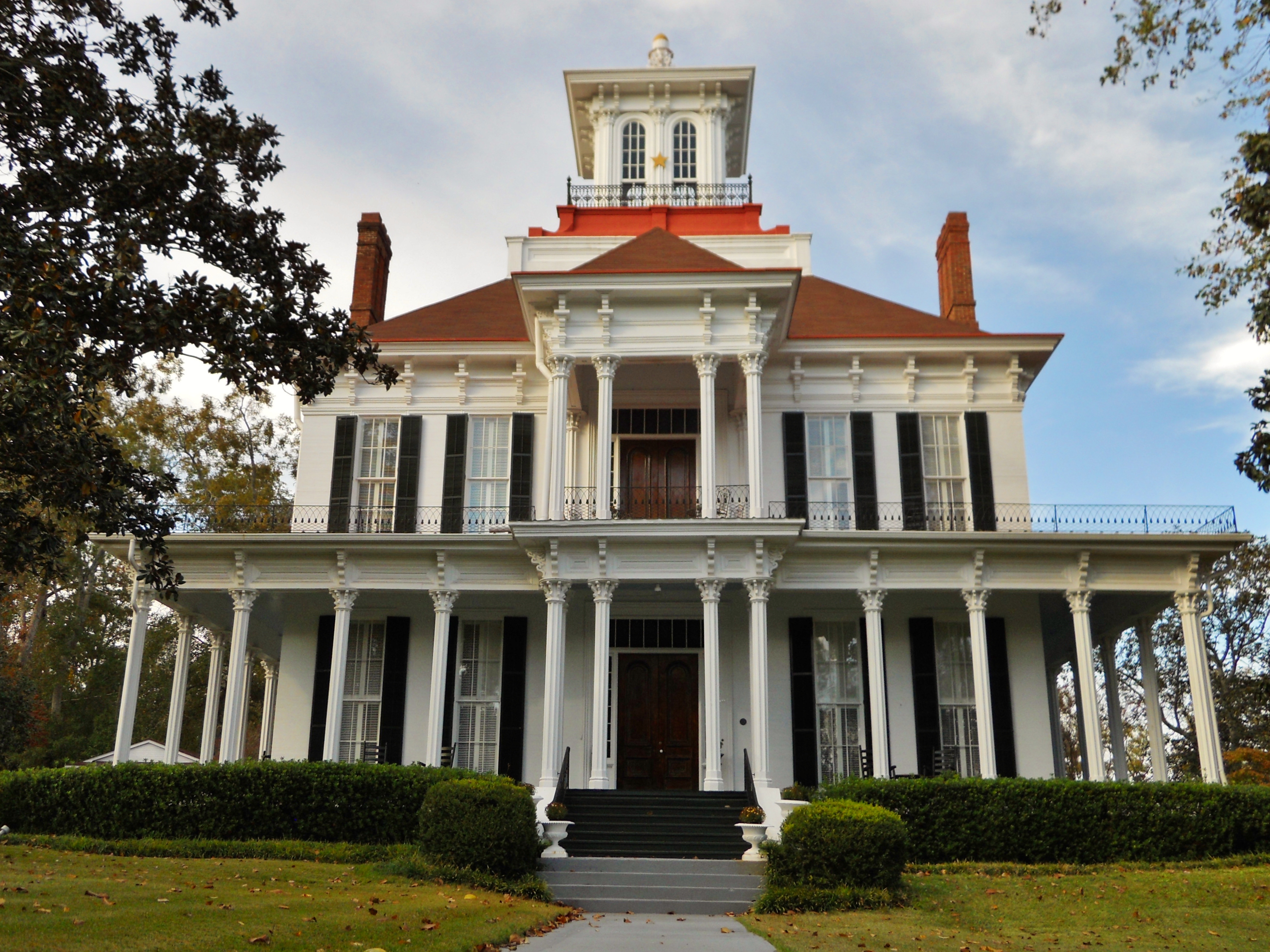
31°53′28″N 85°08′20″W / 31.891111°N 85.138889°WEufaula Built in 1837, Sheppard Cottage is the oldest known residence in Eufaula. The cottage still has original wood mantels, fireplaces, and oak flooring. 14 Shorter Mansion 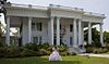
January 14, 1972 340 N. Eufaula Ave.
31°53′46″N 85°08′46″W / 31.896111°N 85.146111°WEufaula 15 Governor Chauncy Sparks House 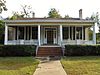
June 28, 1972 257 Broad St.
31°53′40″N 85°08′45″W / 31.894444°N 85.145833°WEufaula The Sparks-Irby House was the home of the 44th Alabama Governor, Chauncey Sparks and his sister, Mrs. Louise Sparks Flewellen. 16 Spring Hill Methodist Church 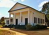
February 16, 1996 Southern side of County Road 89, approximately 750 feet west of its junction with County Road 49
32°04′47″N 85°20′22″W / 32.079722°N 85.339444°WSpring Hill Greek revival church built in 1841 by John Fletcher Comer, father of B. B. Comer. 17 The Tavern 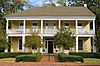
October 6, 1970 105 Riverside Dr.
31°53′30″N 85°08′30″W / 31.891667°N 85.141667°WEufaula Originally built in the 1830s, The Tavern is Eufaula's oldest frame structure. During its history, it has been used as an Episcopal Church, a Confederate hospital, and as an inn where it accommodated Chattahoochee River travelers and the local gentry. 18 Wellborn 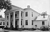
July 14, 1971 630 East Broad St.
31°53′37″N 85°08′23″W / 31.893611°N 85.139722°WEufaula Also known as the Dr. Levi Thomas House, this classic Greek Revival mansion, dated from 1839, was the first of its sort to be built in this area. It was moved to its present location from 134 Livingston Avenue. The facade and inside floor plan remain little changed. It currently serves as business offices. 19 Woodlane Plantation March 29, 2006 State Route 431, S.
31°50′59″N 85°10′22″W / 31.849722°N 85.172778°WEufaula See also
- List of National Historic Landmarks in Alabama
- National Register of Historic Places listings in Alabama
References
- ^ The latitude and longitude information provided in this table was derived originally from the National Register Information System, which has been found to be fairly accurate for about 99% of listings. For about 1% of NRIS original coordinates, experience has shown that one or both coordinates are typos or otherwise extremely far off; some corrections may have been made. A more subtle problem causes many locations to be off by up to 150 yards, depending on location in the country: most NRIS coordinates were derived from tracing out latitude and longitudes off of USGS topographical quadrant maps created under the North American Datum of 1927, which differs from the current, highly accurate WGS84 GPS system used by Google maps. Chicago is about right, but NRIS longitudes in Washington are higher by about 4.5 seconds, and are lower by about 2.0 seconds in Maine. Latitudes differ by about 1.0 second in Florida. Some locations in this table may have been corrected to current GPS standards.
- ^ "National Register of Historic Places: Weekly List Actions". National Park Service, United States Department of the Interior. Retrieved on November 10, 2011.
- ^ Numbers represent an ordering by significant words. Various colorings, defined here, differentiate National Historic Landmark sites and National Register of Historic Places Districts from other NRHP buildings, structures, sites or objects.
U.S. National Register of Historic Places in Alabama Lists by county Autauga • Baldwin • Barbour • Bibb • Blount • Bullock • Butler • Calhoun • Chambers • Cherokee • Chilton • Choctaw • Clarke • Clay • Cleburne • Coffee • Colbert • Conecuh • Coosa • Covington • Crenshaw • Cullman • Dale • Dallas • DeKalb • Elmore • Escambia • Etowah • Fayette • Franklin • Geneva • Greene • Hale • Henry • Houston • Jackson • Jefferson • Lamar • Lauderdale • Lawrence • Lee • Limestone • Lowndes • Macon • Madison • Marengo • Marion • Marshall • Mobile • Monroe • Montgomery • Morgan • Perry • Pickens • Pike • Randolph • Russell • St. Clair • Shelby • Sumter • Talladega • Tallapoosa • Tuscaloosa • Walker • Washington • Wilcox • Winston

Lists by city Other lists Municipalities and communities of Barbour County, Alabama Cities 
Towns Unincorporated
communitiesComer | Elamville | Mt. Andrew
Categories:- National Register of Historic Places in Barbour County, Alabama
-


Wikimedia Foundation. 2010.