- Chatsworth, Ontario (town)
-
Chatsworth — Unincorporated village — 
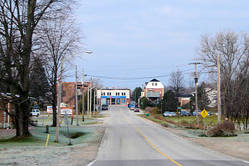
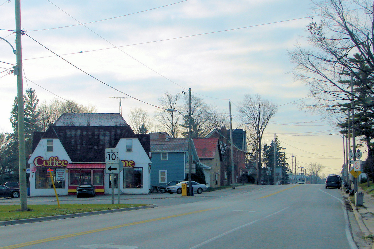
Coordinates: 44°27′13″N 80°53′45″W / 44.45361°N 80.89583°WCoordinates: 44°27′13″N 80°53′45″W / 44.45361°N 80.89583°W Country Canada Province Ontario County Grey Township Chatsworth Elevation 296 m (971 ft) Population (2001) - Total 6,280 Time zone EST (UTC-5) - Summer (DST) EDT (UTC-4) Postal code N0H 1G0 Area code(s) 519 and 226 Chatsworth is a community in Grey County, Ontario, Canada, part of the Township of Chatsworth. It is located south of Owen Sound and north of Durham where Highways 6 and 10 merge. The village neighbours Williamsford, Dornoch, and Desboro.
Originally named Johnstown, Chatsworth was founded in 1848 at the northern terminus of the Toronto-Sydenham Colonization Road. Modern Highway 10 follows most of the original road's route. On January 1, 2001, The Village of Chatsworth was merged into the new Township of Chatsworth, along with Holland and Sullivan Townships.
Famous Canadian suffragette Nellie McClung was born in Chatsworth.

Owen Sound
RockfordKilsyth, Tara 
Bognor  Chatsworth

Williamsford
Dornoch
DurhamCategories:- Communities in Grey County, Ontario
- Former municipalities in Ontario
- Western Ontario geography stubs

Wikimedia Foundation. 2010.