- Chiloé Island
-
Chiloé Native name: Isla de Chiloé or Isla Grande de Chiloé 
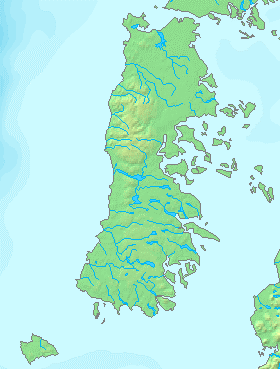
Map of Chiloé Island
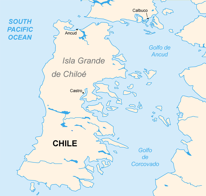
Geography Location Pacific Ocean Coordinates 42°40′36″S 73°59′36″W / 42.67667°S 73.99333°WCoordinates: 42°40′36″S 73°59′36″W / 42.67667°S 73.99333°W Archipelago Chiloé Archipelago Area 8,394 km2 (3,240.9 sq mi) Length 190 km (118 mi) Width 65 km (40.4 mi) Country ChileProvince Chiloé Province Largest city Castro (pop. 39,366) Demographics Population 154,775 (as of 2002) Density 18.44 /km2 (47.76 /sq mi) Chiloé Island (Spanish: Isla de Chiloé), also known as Greater Island of Chiloé (Isla Grande de Chiloé), is the largest island of the Chiloé Archipelago off the coast of Chile, in the Pacific Ocean. The island is located in southern Chile, in the Los Lagos Region.
Contents
Geography
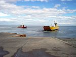 Ferry used between Chilean mainland and Chiloé Island.
Chiloé Island (8,394 km², 3241 sq mi), is the second largest island in Chile (and the fifth largest in South America), after the Isla Grande de Tierra del Fuego. It is separated from the Chilean mainland by the Chacao Strait ("Canal Chacao") to the north, and by the Gulf of Ancud (Golfo de Ancud) and the Gulf of Corcovado (Golfo Corcovado) to the east; the Pacific ocean lies to the west, and the Chonos Archipelago lies to the south, across the Boca del Guafo. The island is 190 km (118 mi) from north to south, and averages 55–65 km wide (35 to 40 mi). The capital is Castro, on the east side of the island; the second largest town is Ancud, at the island's northwest corner, and there are several smaller port towns on the east side of the island, such as Quellón, Dalcahue and Chonchi.
Chiloé Island and the Chonos Archipelago are a southern extension of the Chilean coastal range, which runs north and south, parallel to the Pacific coast and the Andes Mountains. The Chilean Central Valley lies between the coastal mountains and the Andes, of which the Gulfs of Ancud and Corcovado form the southern extension. Mountains run north and south along the spine of the island. The east coast is deeply indented, with several natural harbors and numerous smaller islands.
Climate
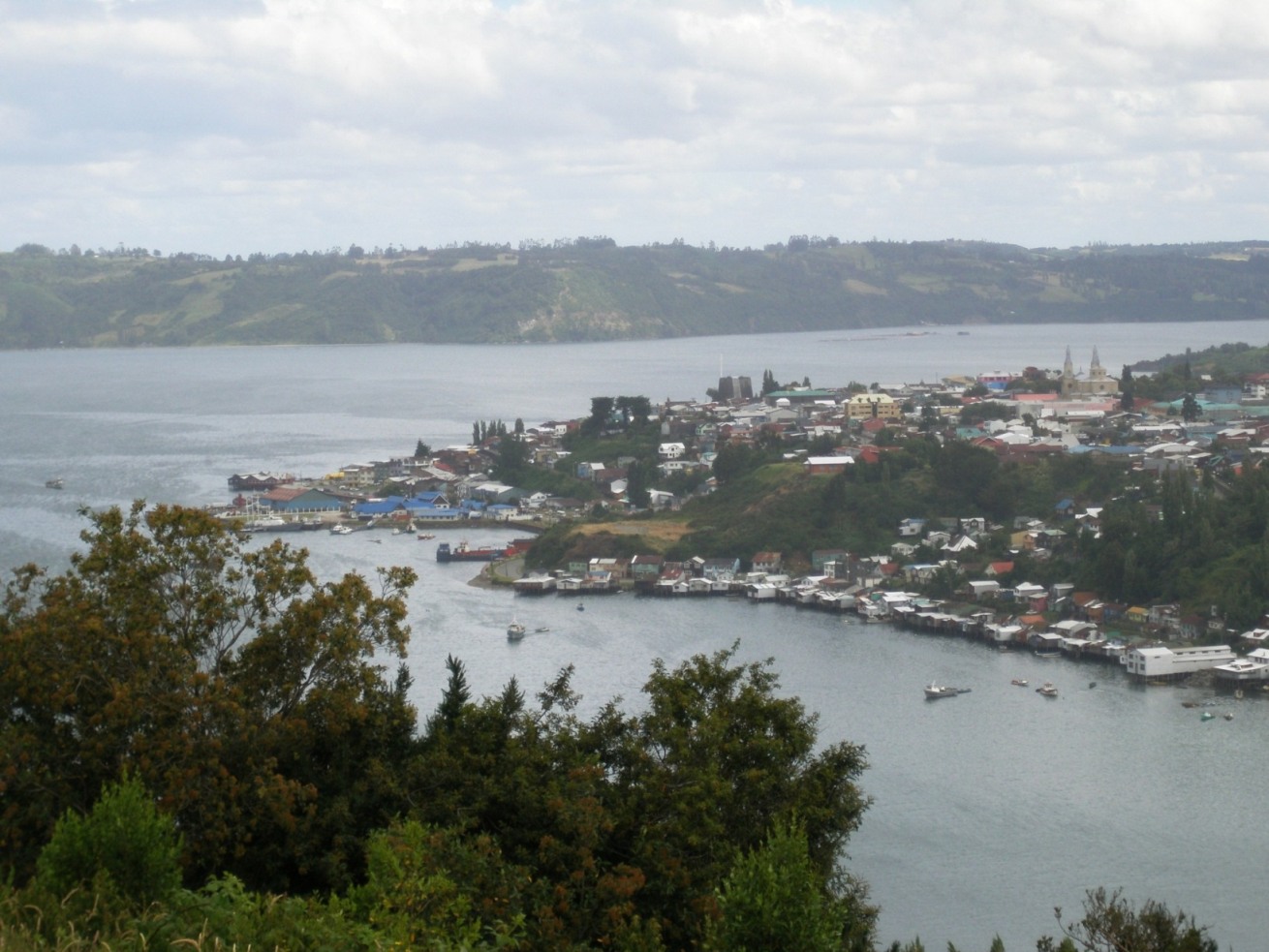
 Panoramic Of Castro
Chiloe runs from 41º 47' S to 43º 26' S latitude, and has a humid, cool temperate climate. The western side of the island is rainy and wild, home to the Valdivian temperate rain forests, one of the world's few temperate rain forests. Chiloé National Park (Spanish: Parque Nacional de Chiloé) is located on the island's western shore and Tantauco Park (Spanish: Parque Tantauco) a private natural reserve created and owned by Chilean business magnate and President of Chile Sebastián Piñera, is located on the island's southern shore and both include parts of the coastal range. The eastern shore, in the rain shadow of the interior mountains, is warmer and drier.
Alfaguara Project
The northwestern of Chiloé Island has a great diversity of marine fauna, including blue whale, sei whale, Chilean dolphins and Peale's dolphins; sea lions, marine otters, and Magellanic penguin and Humboldt penguins.
Nevertheless, this relatively undisturbed area faces different threats, like urban development, habitat degradation, land and marine pollution.
The Alfaguara project (blue whale project), conducted by Cetacean Conservation Center seeks to effectively combine long term research, educational and capacity building programs with the objective of developing innovative marine conservation proposals oriented to safeguard the rich biodiversity of the area and guarantee the sustainable development of the communities involved.
Responsible marine ecotourism requires careful planning, management and scientific monitoring to guarantee the conservation of the area and generate long term benefits for the community. The Alfaguara Project, works closely with coastal communities.
Learn more about the project in The Rufford Small Laing Foundation
See also
References
External links
Chiloe Island travel guide from Wikitravel
- Mythology of Chiloé
- Research at Chiloé Rain Forest
- The churches of Chiloe at Unesco world heritage site
- description of the chiloe churches with pictures
- Chiloé a separate world, by Ovidio Lagos
- Visited by Charles Darwin: Voyage of the Beagle, Ch 13-14
- Images of Chiloé
Chiloé Archipelago Main islands 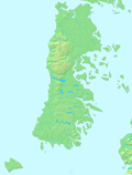
Water bodies Gulf of Ancud · Estero de Castro · Caulín Bay · Chacao Channel · Sea of Chiloé · Gulf of Corcovado · Dalcahue ChannelCities and towns Culture ClothingAsado · Chapalele · Curanto · Licor de oro · Murtado · Mate (Huarisnaque) · Milcao · Murta con membrillo · Paila marina · Potatoes of Chiloé · Pulmay1: These islands are not part of Chiloé Province Categories:- Islands of Chile
- Chiloé Archipelago
- Geography of Los Lagos Region
- Ecoregions of Chile
Wikimedia Foundation. 2010.