- Metropolitan Borough of Wirral
-
This article is about the local government district. For other uses, see Wirral.
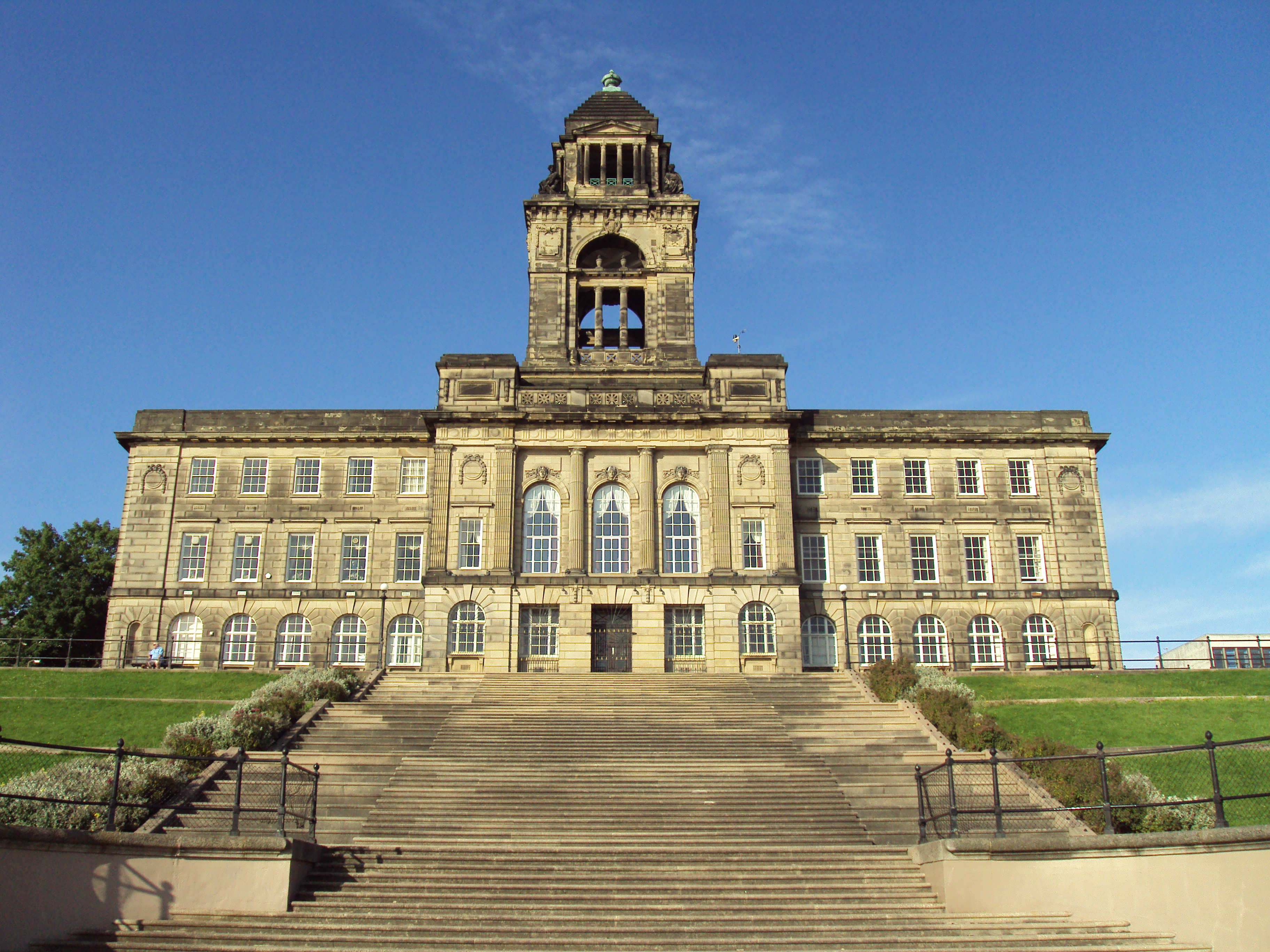
Metropolitan Borough of Wirral — Metropolitan borough — Wallasey Town Hall, the seat of Wirral Borough Council

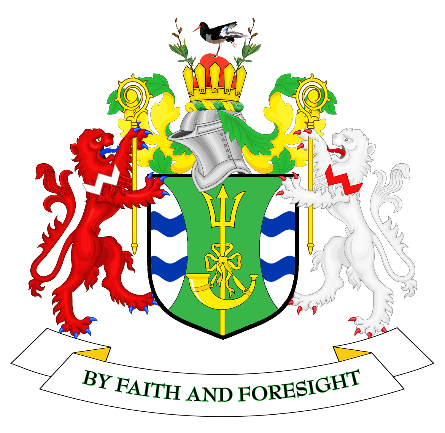
Coat of Arms of the Borough CouncilWirral
Sovereign state United Kingdom Constituent country England Region North West England Ceremonial county Merseyside Founded Admin. HQ Wallasey Government – Type Metropolitan Borough – Governing body Wirral Metropolitan Borough Council – Leadership: Leader & Cabinet – Executive: Conservative/Lib Dem – Leader of the Council Cllr Jeff Green (Con) – MPs: Alison McGovern (Lab),
Angela Eagle (Lab),
Frank Field (Lab),
Esther McVey (Con)Area – Total 60.6 sq mi (157.0 km2) Area rank 185th Population (2010 est.) – Total 308,800 – Rank Ranked 22nd – Density 5,094.2/sq mi (1,966.9/km2) Time zone Greenwich Mean Time (UTC+0) – Summer (DST) British Summer Time (UTC+1) Postcode CH ISO 3166-2 ONS code 00CB OS grid reference NUTS 3 Ethnicity 98.3% White Website http://www.wirral.gov.uk/ The Metropolitan Borough of Wirral is a metropolitan borough of Merseyside, in North West England. It has a population of 311,200,[1] and encompasses 60 square miles (160 km2) of the northern part of the Wirral Peninsula. Major settlements include Birkenhead, Wallasey, Bebington, Heswall, Hoylake and West Kirby. The city of Liverpool over the Mersey, faces the northeastern side of the Wirral. Bordering is the River Mersey to the east, the Irish Sea to the north and the River Dee to the west; the borough of Cheshire West and Chester occupies the remainder of the Wirral Peninsula and borders the borough of Wirral to the south.
Contents
History
The borough was formed on 1 April 1974, under the Local Government Act 1972, as a merger of the county boroughs of Birkenhead and Wallasey, along with the municipal borough of Bebington and the urban districts of Hoylake and Wirral.
An opinion poll conducted by MORI in 2003 showed that 45% of people polled felt they "belong[ed] to" Merseyside "very strongly" (13%) or "fairly strongly", compared to a figure of 30% for Cheshire (17% of whom felt "very strongly"). 78% felt they strongly belonged to the Wirral council area.[2]
Economy
This is a chart of trend of regional gross value added of Wirral at current basic prices published (pp. 240–253) by Office for National Statistics with figures in millions of British Pounds Sterling.
Year Regional Gross Value Added[1] Agriculture[2] Industry[3] Services[4] 1995 2,089 10 674 1,405 2000 2,609 5 814 1,789 2003 3,020 9 755 2,256 ^ includes hunting and forestry
^ includes energy and construction
^ includes financial intermediation services indirectly measured
^ Components may not sum to totals due to rounding
In September 2006 a large scale development called Wirral Waters was unveiled by the company Peel Holdings, that if constructed as outlined may see the creation of up to 27,000 jobs.
Education
See also: Category:Schools in Wirral (borough)When the borough was set up in 1974, it inherited comprehensive systems from the former County Boroughs of Birkenhead and Wallasey. In the part of Wirral formerly administered by Cheshire County Council, it inherited a selective system of grammar and secondary modern non-Roman Catholic schools and a comprehensive Roman Catholic school (St John Plessington Catholic College).
Until the implementation of the Education Reform Act 1988, education in Wirral continued to be organised in four areas; Birkenhead, Wallasey and the former parts of Cheshire known for education purposes as "Bebington" and "Deeside". However this Act introduced "open enrolment", allowing parents from anywhere in the borough, and outside it, to apply for a place for their child at any secondary school. As a result significant numbers of pupils from the former "comprehensive areas" attend schools in the former "selective areas" and vice versa. The distinction between different types of school was to an extent masked, as all secondary modern and most comprehensive schools were named "High School". As a further result of this Act, St Anselm's College and Upton Hall School, both within the Birkenhead education area, became the only independent schools in the country to become state funded grant-maintained schools, retaining selective admissions policies to become Roman Catholic grammar schools.
A further change came as a result of the School Standards and Framework Act 1998, which effectively changed secondary modern schools into comprehensives as schools were no longer permitted to select by examination failure. In summary, Wirral now has a state secondary sector made up of 16 comprehensive schools (of which two are Roman Catholic) and 6 grammar schools (of which two are Roman Catholic).
Ofsted publishes an annual list of schools that it has judged to be "particularly successful". Wirral secondary schools that have appeared in that list are:
- Calday Grange Grammar School (2001–06)
- Pensby High School for Girls (2000–01)
- Ridgeway High School (2000–01)
- St Anselm's College (1999–2000 and 2004–05)
- St John Plessington Catholic College (1997–98)
- St Mary's Catholic College (2001–02)
- Upton Hall School FCJ (2006-7)
- West Kirby Grammar School (1994–95)
- Wirral Grammar School for Girls (1997–98 and 2003–04)
- Woodchurch High School Engineering College (1998–99 and 2004–05)
Ofsted has not inspected any of Wirral's independent schools.
Local government
After the local elections in 2008 the Metropolitan Borough of Wirral was governed by a Labour Party/Liberal Democrat coalition, the second and third largest parties on the council respectively. Cllr Steve Foulkes of Labour was leader of the council with Cllr Simon Holbrook of the Liberal Democrats as deputy leader of the council. The Conservative Party was the largest party represented, and was in opposition with its leader Cllr Jeff Green being leader of the opposition.
After the local elections in 2010 the Metropolitan Borough of Wirral was governed by a Conservative Party/Liberal Democrat coalition, which reflected the coalition at national level.[3] The Conservative Party, continuing to be the largest party represented on the council increased its number of seats by 2 to 27 and has now entered into coalition government with the Liberal Democrats as the leading coalition partner with the leader of the Conservatives, Cllr Jeff Green, becoming the new leader of the council. The Labour Party increased its representation on the council by 4 to 24 and remained the second largest party though they are now in opposition with their leader, Cllr Steve Foulkes, who was leader of the council now leader of the opposition. The Liberal Democrats lost 4 seats decreasing their tally to 15 remaining the third largest party on the council but continuing to participate in the governing of the council as the junior coalition partner to the Conservatives with their leader, Cllr Simon Holbrook, retaining his position as deputy leader of the council. The one independent represented on the council lost their seat.
After the local elections in 2011 the Metropolitan Borough of Wirral is now governed by a minority Labour Party administration. Cllr Steve Foulkes is now leader of the Council with Cllr Phil Davies as deputy leader. The Liberal Democrats lost a councillor to Labour, Cllr Steve Niblock shortly after the elections. There are now no independents on Wirral Council. Labour have 30 seats, Conservatives have 27 and the Liberal Democrats 9.
Year Conservatives Labour Liberal Democrats Independent 2008 24 21 20 1 2009 25 20 20 1 - On the 18th May 2009, Councillor Denis Knowles resigned from the Labour group, joining the Conservatives.[4]
2010 27 24 15 0 2011 27 30 9 0 Parliamentary constituencies
Places of interest
Wirral council maintains five designated Local Nature Reserves: Bidston Moss, Dibbinsdale, Heswall Dales, Hilbre Island and Thurstaston Common.[5]
See also
- Wirral Waterfront SRB — a regeneration initiative
References
- ^ "Wirral population estimate (mid 2006)". Office for National Statistics. http://www.statistics.gov.uk/statbase/ssdataset.asp?vlnk=9666&More=Y. Retrieved 24 May 2008.
- ^ "Local Government Review: Wirral" (PDF). Boundary Committee for England. April 2004. http://www.boundarycommittee.org.uk/files/dms/Add57Wir_12249-9357__E__.pdf. Retrieved 15 August 2006.
- ^ Phibbs, Harry (2010-05-25). "Conservatives take over Wirral Council". Conservativehome.blogs.com. http://conservativehome.blogs.com/localgovernment/2010/05/conservatives-take-over-wirral-council.html. Retrieved 2010-12-11.
- ^ Dunn, Justin; Craig Manning (2009-05-18). "BREAKING NEWS: Labour councillor Denis Knowles quits and joins Tories at Wallasey Town Hall". Wirral Globe. http://www.wirralglobe.co.uk/news/4377997.BREAKING_NEWS___Labour_councillor_Denis_Knowles_quits_and_joins_Tories_at_Wallasey_Town_Hall/. Retrieved 2010-12-11.
- ^ "Wirral Local Nature Reserves". Wirral council. http://www.wirral.gov.uk/my-services/leisure-and-culture/parks-beaches-and-countryside/parks-greenspaces-and-countryside/local-nature-reserves. Retrieved 28 January 2011.
External links
- Metropolitan Borough of Wirral home page
- Vision of Britain
- The Wirral Wide Web
- Wirral community magazine
Ceremonial county of Merseyside Metropolitan districts - City of Liverpool
- Metropolitan Borough of Knowsley
- Metropolitan Borough of Sefton
- Metropolitan Borough of St Helens
- Metropolitan Borough of Wirral
Major settlements Rivers Topics  Districts of North West England
Cheshire 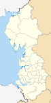
Cumbria Allerdale • Barrow-in-Furness • Carlisle • Copeland • Eden • South Lakeland
Greater Manchester Lancashire Blackburn with Darwen • Blackpool • Burnley • Chorley • Fylde • Hyndburn • Lancaster • Pendle • Preston • Ribble Valley • Rossendale • South Ribble • West Lancashire • Wyre
Merseyside Metropolitan counties and metropolitan districts Greater Manchester 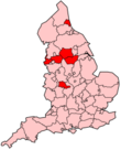
Merseyside South Yorkshire Tyne and Wear West Midlands West Yorkshire Coordinates: 53°23′49″N 3°00′43″W / 53.396972°N 3.011914°W
Categories:- Wirral (borough)
- Merseyside
- Metropolitan boroughs
- Liverpool City Region
- Local government districts of North West England
- NUTS 3 statistical regions of the United Kingdom
- Metropolitan district councils of England


Wikimedia Foundation. 2010.