- Mogán, Las Palmas
-
Municipality of Mogán Map 
Statistics Autonomous region: Canary Islands Province: Las Palmas Island: Gran Canaria Area: 172 km² Population: 15,176 (2004) Population density: 88.17/km² Elevation:
Lowest:
Centre:
Highest:
Atlantic Ocean
252 m
northeastern partLocation: 27.8667/27°53' N lat.
15.6883/15°43' W long.Municipal code: E-35012 Car designation: GCuntil 2001 Puerto de Mogan.
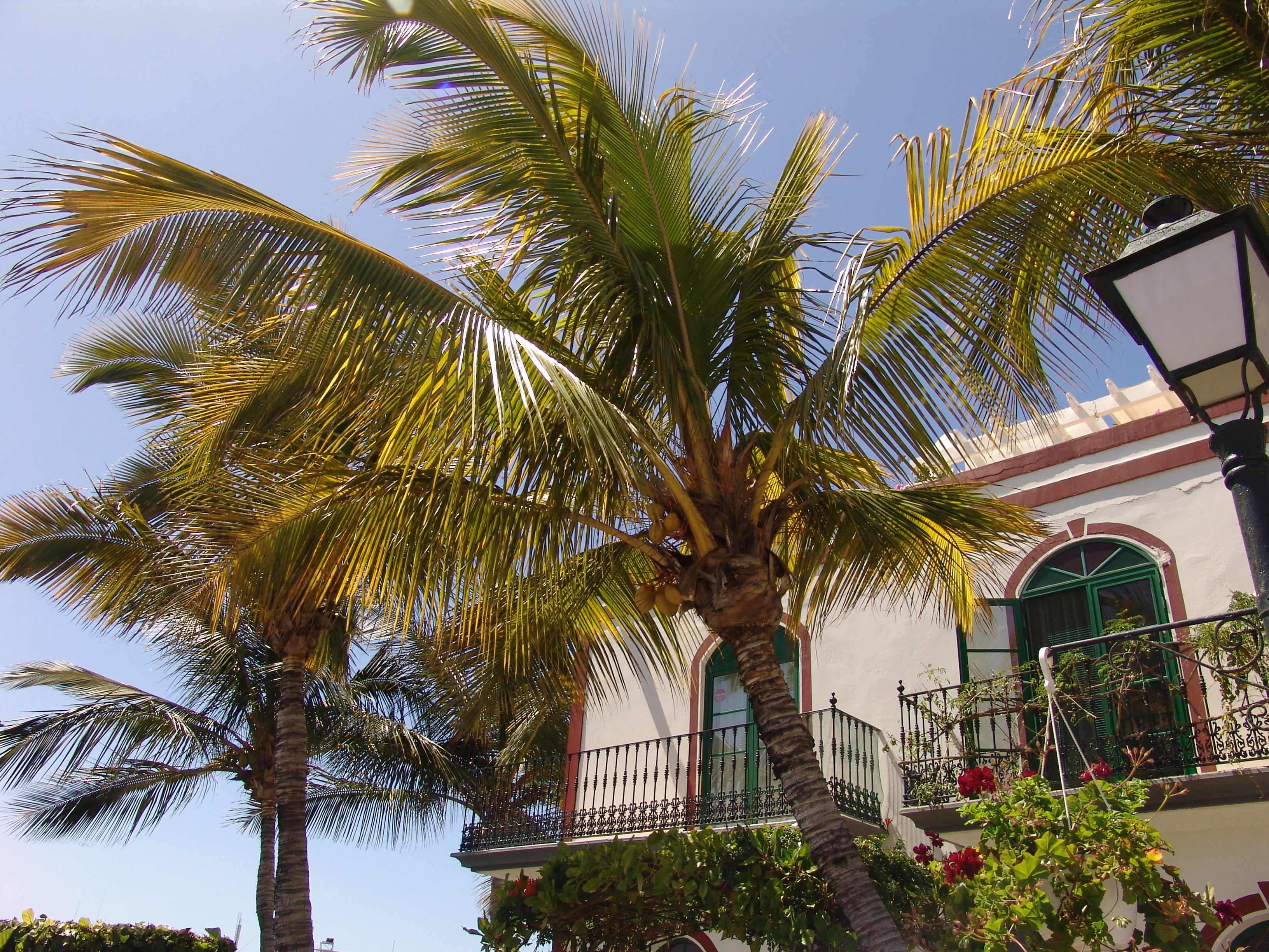
 Puerto de Mogan - a picturesque resort and fishing village.
Mogán is a municipality in the southwestern corner of the island of Gran Canaria, which is one of the three main islands making up the Spanish province of Las Palmas in the Canary Islands. It includes the fishing towns of Puerto de Mogán and Arguineguin. Mogán is the second largest municipality by area on the island. The population is 15,176 (ISTAC, 2003), its density is 88.17/km² and the area is 172 km². Much of the population lives on the Atlantic coastline. The terrain consists of mountains and a valley area that are mostly covered with vegetation and forests. Barren land dominates the northern, central and eastern parts, especially in the mountain areas, while farmlands and urban areas lie within 2 to 3 km of the Atlantic Ocean and in the narrow steep sided barrancos, or valleys. The town of Mogán is about 12 kilometres from the coast and north-west of Puerto Rico and is accessed by following the coast road after leaving the GC-1 motorway by its southernmost exit, (58th km interchange or exit 58/59). The main industries are tourism, agriculture and fishing. The tourism industry is located mainly along the coast, which has a string of resorts. Mogàn is part of a larger tourist area in the southern part of the island.
Contents
Geography
- Location:
- Latitude: 27.8667 (27°52') N
- Longitude: 15.7883 (15°43') W
- Altitude:
- Lowest: Atlantic Ocean
- Centre: 252 m
- Highest: northern part
- Postal code: - 351 38
Historical population
Year Population Density 1991 8,688 - 1996 10,398 - 2001 12,444 72.34/km² 2002 15,935 - 2003 15,932 98.06/km² 2004 15,176 88.17/km² Communities
- Arguineguin
- Playa de Mogán (Mogán Beach)
- Puerto de Mogán
- Playa de Diablillo
- Puerto Rico de Gran Canaria
Mogan has schools, lyceums, a few gymnasia, churches, a post office and squares (plaza).
See also
Northwest: San Nicolás de Tolentino or La Aldea de San Nicolás North: Tejeda West: San Nicolás de Tolentino or La Aldea de San Nicolás Mogán East: San Bartolomé de Tirajana South: Atlantic Ocean External links
- Mogán tourism
- Map and aerial photos
- Street map: Street map from Mapquest, MapPoint, Google or Yahoo! Maps
- Satellite images: Google or Microsoft Virtual Earth - image now available
- Coordinates: 27°52′0″N 15°43′0″W / 27.866667°N 15.716667°W
Municipalities of Gran Canaria Agaete • Agüimes • Artenara • Arucas • Firgas • Gáldar • Ingenio • Mogán • Moya • Las Palmas de Gran Canaria • San Bartolomé de Tirajana • San Nicolás de Tolentino • Sta. Brígida • Sta. Lucía de Tirajana • Sta. María de Guía • Tejeda • Telde • Valleseco • Valsequillo • Vega de San Mateo Categories:
- Municipalities in Las Palmas
- Location:

Wikimedia Foundation. 2010.