The Troubles in Darkley — recounts incidents during, and the effects of, The Troubles in Darkley, County Armagh, Northern Ireland.Incidents in Darkley during the Troubles resulting in two or more fatalities:1979 *24 February 1979 Martin McGuigan (16) and James Keenan (16) … Wikipedia
Catholic Reaction Force — The name Catholic Reaction Force (CRF) was used to claim responsibility for attacks and threats against Protestants in Northern Ireland during The Troubles . In 1983 it claimed responsibility for shooting dead three Protestant civilians at a… … Wikipedia
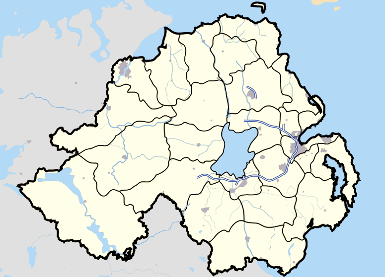
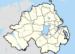
County Armagh — Contae Ard Mhacha Coontie Airmagh / Armagh Coat of arms … Wikipedia
Keady — Infobox Irish Place name = Keady gaeilge = An Céide crest motto = map pin coords = left: 152px; top: 70px north coord = 54.2483 west coord = 6.7046 irish grid = H844340 area = elevation = 340 m province = Ulster county = County Armagh population … Wikipedia
List of primary schools in Northern Ireland — List of Primary schools in Northern IrelandThis article is a (so far partial) list of Primary schools in operation in Northern Ireland (as of August 2006). NOTOC A*Abercorn Primary School, Banbridge, County Down *Abbots Cross Primary School,… … Wikipedia
Tullynawood — is a small townland area in Co Armagh in Northern Ireland situated on the Armagh Monaghan border.It has a population of 17 It is a place full of natural wonder and beauty with a large lake, Tullynawood lake, (famous for its trout fishing and… … Wikipedia
Irish National Liberation Army — The Irish National Liberation Army (INLA; Arm Saoirse Náisiúnta na hÉireann in Irish) is an Irish Republican, left wing paramilitary organisation which was formed on 8 December, 1974.Sharing a common Marxist ideology with the Irish Republican… … Wikipedia
Newry — For other uses, see Newry (disambiguation). Coordinates: 54°10′34″N 6°20′56″W / 54.176°N 6.349°W / 54.176; 6.349 … Wikipedia
Craigavon — Coordinates: 54°26′50″N 6°23′18″W / 54.447222°N 6.388333°W / 54.447222; 6.388333 … Wikipedia
West Country dialects — SW England official region (approximately co extensive with areas where West Country dialects are spoken) The West Country dialects and West Country accents are generic terms applied to any of several English dialects and accents used by much of… … Wikipedia
 Darkley