- Mount Rausu
-
Mount Rausu 羅臼岳 
View from Shiretoko Pass (August 2009)Elevation 1,660.4 m (5,448 ft) [1] Listing List of mountains in Japan
List of volcanoes in Japan
100 Famous Japanese MountainsLocation Location of Mount Rausu in Japan.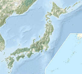
 Mount Rausu
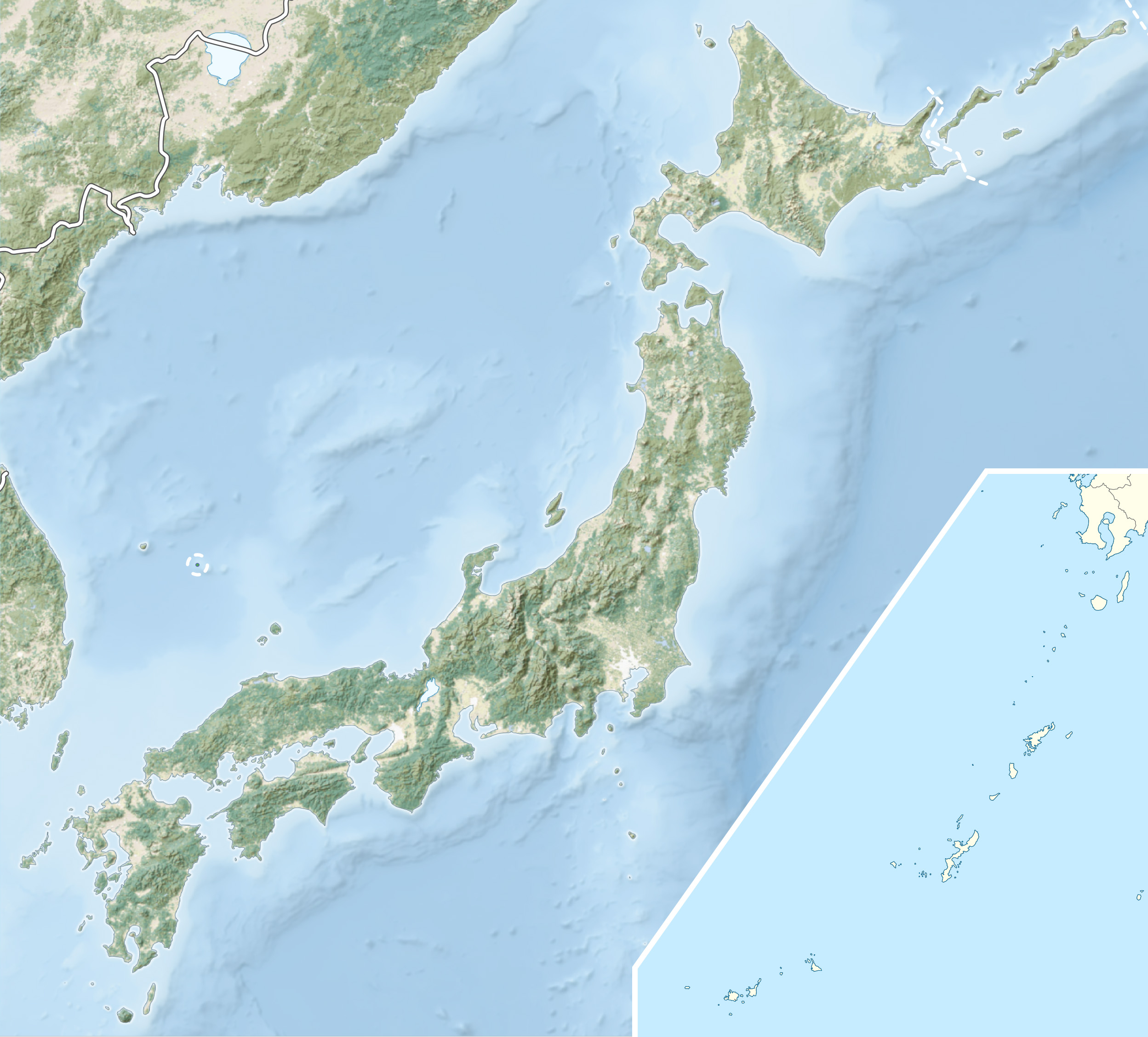
Location Hokkaidō, Japan Range Shiretoko Peninsula Coordinates 44°4′33″N 145°7′21″E / 44.07583°N 145.1225°ECoordinates: 44°4′33″N 145°7′21″E / 44.07583°N 145.1225°E[1] Topo map Geospatial Information Authority 25000:1 羅臼
25000:1 知床峠
50000:1 羅臼Geology Type Stratovolcano Age of rock Holocene[2] Volcanic arc/belt Kuril arc [3] Last eruption 1800 ± 50 years[2] Climbing Easiest route Scramble[3] Mount Rausu (羅臼岳 Rausu-dake) is a stratovolcano on the Shiretoko Peninsula on Hokkaidō, Japan. It sits on the border between the towns of Shari and Rausu. Mount Rausu is the northeastern most Holocene volcano on Hokkaidō.[2] It is one of the 100 famous mountains in Japan.
Mount Rausu's opening festival is held annually on July 3. This day officially opens the climbing season.[3]
History
- June 1, 1964 - The region around Mount Rausu declared Shiretoko National Park[4]
- July 2005 - Shiretoko registered as a Natural World Heritage Site[5]
References
- ^ a b Geospatial Information Authority map 25000:1 羅臼, last access May 23, 2008
- ^ a b c "Rausu". Global Volcanism Program. Smithsonian National Museum of Natural History. http://www.volcano.si.edu/world/volcano.cfm?vnum=0805-082. Retrieved 2008-07-22.
- ^ a b c Hunt, Paul (1988). Hiking in Japan: An Adventurer's Guide to the Mountain Trails (First ed.). Tokyo: Kodansha International Ltd.. pp. 11, 201. ISBN 0-87011-893-5.
- ^ "Shiretoko National Park". Ministry of the Environment (Japan). http://www.env.go.jp/en/nature/nps/park/parks/shiretoko.html. Retrieved 2010-12-01.
- ^ "Cruising Tour of Shiretoko, Newly Registered Natural World Heritage". Hiragana Times. YAC Planning Inc. November 2005. http://www.hiraganatimes.com/hp/travel/discover/kiji229e.html. Retrieved 1 December 2010.
See also
- World Heritage Site
- Shiretoko National Park
- List of mountains in Japan
- 100 Famous Japanese Mountains
 The mountains of Shiretoko Peninsula from Mount Rausu (July 2007). In the foreground is Mitsumine, in the middle field is Mount Sashirui, and in the background is Mount Iō.
 Categories:
- Stratovolcanoes
- Volcanoes of Hokkaidō
- Mountains of Hokkaidō
- Hokkaidō geography stubs


Wikimedia Foundation. 2010.