- Chattahoochee River National Recreation Area
-
Chattahoochee River National Recreation Area IUCN Category V (Protected Landscape/Seascape)
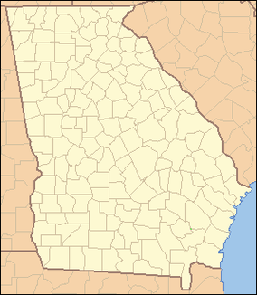
Location Cobb, Forsyth, Fulton, & Gwinnett counties, Georgia, USA Nearest city Atlanta, GA Coordinates 33°59′14″N 84°19′29″W / 33.98722°N 84.32472°WCoordinates: 33°59′14″N 84°19′29″W / 33.98722°N 84.32472°W Area 9,205.53 acres (3,725 ha)
4,343.62 acres (1,758 ha) federalEstablished August 15, 1978 Visitors 3.5 million annually (in 2010) Governing body National Park Service Chattahoochee River National Recreation Area preserves a series of sites between Atlanta in the United States and Lake Sidney Lanier along the Chattahoochee River. The 48-mile (77 km) stretch of the river affords public recreation opportunities and access to historic spots. The National Recreation Area, a National Park Service unit, was established on August 15, 1978 by President Jimmy Carter. The park headquarters and visitor center are located at the Island Ford Unit of the park at 1978 Island Ford Parkway in Sandy Springs, Georgia. The Chattahoochee River is a stocked trout stream with 23 species of game fish. Year-round fishing is available with a Georgia fishing license and a trout stamp.
Cochran Shoals is the largest and most popular unit of the park, featuring a 3-mile (4.8 km) fitness trail, suitable for walking/jogging/biking, that is wheelchair accessible and also excellent for bird and wildlife watching. The historic Marietta Paper Mill ruins along Sope Creek are preserved within the Sope Creek unit of the area. The Akers Mill ruins along Rottenwood Creek are found within the West Palisades unit. Steep rock cliffs rise from the river's flood plain in the East Palisades unit of the park.
Powers Island was named for James Power (1790–1870). In 1835, he established Powers Ferry connecting what is now Sandy Springs to Cobb County. Powers Ferry was used by units of General William Sherman's army in July 1864. The ferry was eventually replaced by a bridge, which was built in 1903.
The Vickery Creek unit preserves a rugged and scenic stretch of Vickery Creek (also known as Big Creek) from Grimes Bridge Road to its mouth at the Chattahoochee River. The ruins of Ivy Mill, which was a wool mill that produced fabric for Confederate soldiers, are located in this unit along with the historic Allenbrook House. Ivy Mill was destroyed by Union soldiers in 1864 and the women factory workers were sent north for the duration of the war. The Allenbrook House, completed in 1857, was the home and office of the manager of Ivy Mill. From the Vickery Creek Unit, pedestrians can use sidewalks and spur trails for convenient access to Chattahoochee River Park (a City of Roswell/Fulton County park), Riverside Park, Don White Memorial Park, Willeo Creek Park on the Cobb County Line, Waller Park on Hog Waller Creek, and the Chattahoochee Nature Center. Roswell Mill can be accessed via a spur trail and covered bridge that crosses the creek at the site of the Roswell Mill Machine Shop, which was built in 1853, and the only original building left standing of the 1839 Roswell Manufacturing Company. The city has boarded up the old machine shop building and fenced it off with razor wire. The Roswell Mill currently standing was built in 1882 and is now used as an office complex. In 2008-2009 the City of Roswell removed the fence and razor wire, cleared the old stone walls of Kudzu and rehabbed many walking trails.
The Chattahoochee River itself is one of Georgia's premier trout streams. It also offers picturesque areas for boating, canoeing and rafting. Its is very popular in the summer months for visitors to rent tubes and float from Powers Island to Paces Mill.
United State Park Rangers patrol the 48 miles (77 km) of river and 10,000 acres (4,000 ha) of land units with patrol vehicles, jet-powered boats, kayaks, mountain bikes and hike the trails on foot. Rangers enforce the United States Code, Code of Federal Regulations as well as Georgia Criminal and Traffic Codes and are authorized by the U.S. Governement to carry firearms and make arrests. U.S. Park Rangers are commissioned Federal Police Officers who are also trained in EMS and wildland firefighting. U.S. Park Ranger are required to complete over 11 months (4 months initially and an additional 7 months) of law enforcement training at the Federal Law Enforcement Training Center (FLETC) in Glynco, Georgia in order to protect the visitors and the resource.
Units
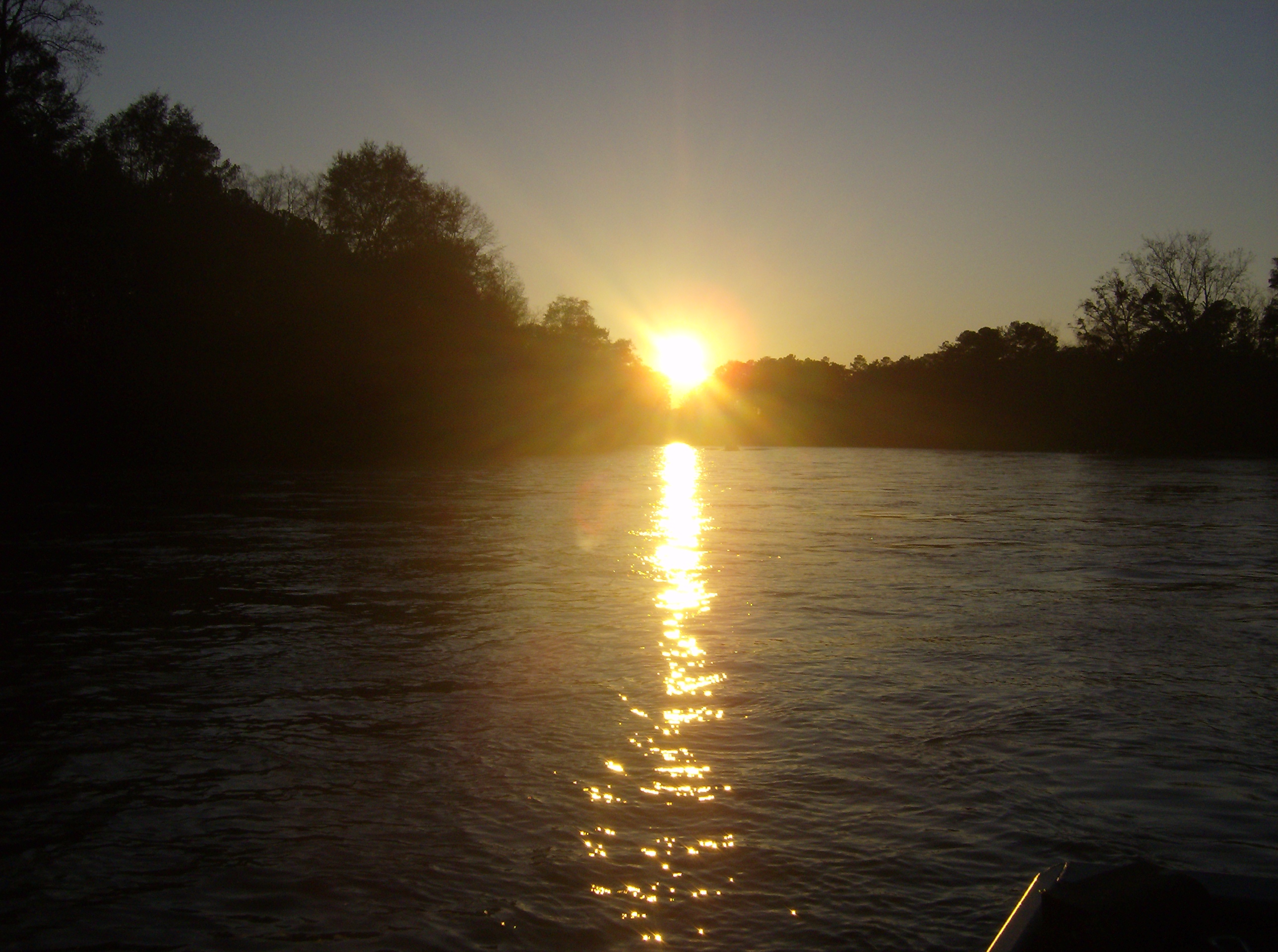
 Chattahoochee River NRA Island Ford Shoals near Roswell, GA
 Vickery Creek Dam at Oxbo Road entrance of Vickery Creek unit
 Covered bridge entrance to the Vickery Creek unit at the Roswell Mill Ruins (City of Roswell Park)
- Bowmans Island
- Settles Bridge
- Orrs Ferry
- Suwanee Creek
- McGinnis Ferry
- Medlock Bridge
- Abbots Bridge
- Jones Bridge
- Holcomb Bridge
- Island Ford
- Vickery Creek
- Gold Branch
- Sope Creek
- Johnson Ferry North
- Johnson Ferry South
- Cochran Shoals
- Powers Island
- East and West Palisades
References
- The National Parks: Index 2001-2003. Washington: U.S. Department of the Interior.
External links
National Recreation Areas of the United States Administered by the
National Park ServiceAmistad • Big South Fork • Bighorn Canyon • Boston Harbor Islands • Chattahoochee River • Chickasaw • Curecanti • Delaware Water Gap • Gateway • Gauley River • Glen Canyon • Golden Gate • Lake Chelan • Lake Mead • Lake Meredith • Lake Roosevelt • Mississippi • Ross Lake • Santa Monica Mountains • Whiskeytown-Shasta-TrinityAdministered by
other agenciesAllegheny • Angel Peak • Arapaho • Datil Well • Flaming Gorge • Grand Island • Hells Canyon • Land Between The Lakes • Moosalamoo • Mount Baker • Mount Rogers • Oregon Dunes • Orilla Verde • Pine Ridge • Rattlesnake • Sawtooth • Smith River • Spring Mountains • Spruce Knob-Seneca Rocks • Valley of Fires • White Mountains • White Rocks • Wild Rivers • Winding Stair MountainCategories:- IUCN Category V
- Chattahoochee River
- Hiking trails in Georgia (U.S. state)
- Protected areas of Cobb County, Georgia
- Protected areas of Forsyth County, Georgia
- Protected areas of Fulton County, Georgia
- Protected areas of Gwinnett County, Georgia
- Roswell, Georgia
- Duluth, Georgia
- Johns Creek, Georgia
- Suwanee, Georgia
- Sandy Springs, Georgia
- Parks in Atlanta, Georgia
- Protected areas established in 1978
- United States National Park Service National Recreation Areas
- United States National Park Service areas in Georgia (U.S. state)


Wikimedia Foundation. 2010.