- Penetanguishene, Ontario
Infobox Settlement
official_name = Town of Penetanguishene
native_name =
nickname =
motto =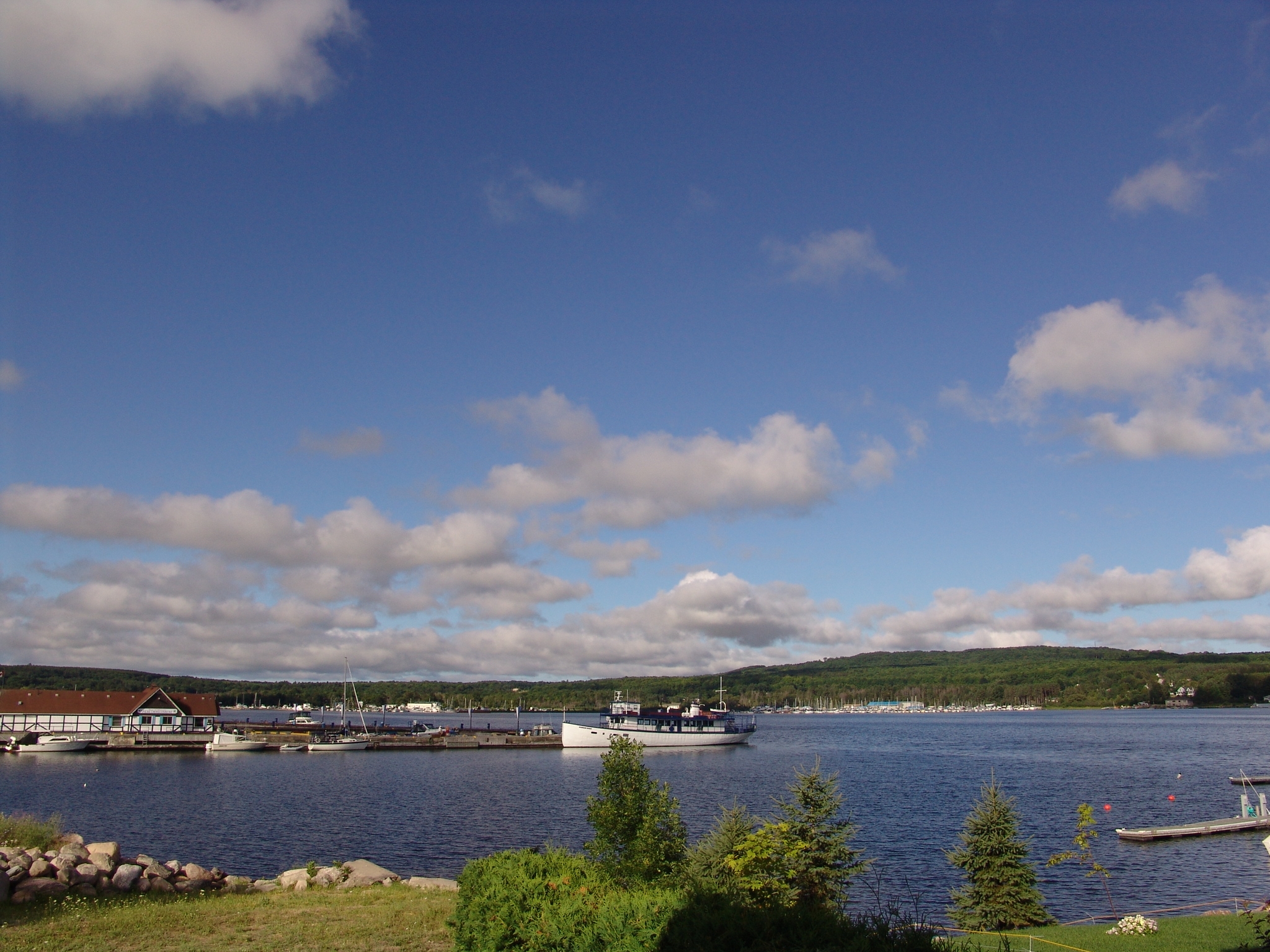
imagesize =
image_caption = Town docks on Penetanguishene Bay.
image_
image_dot_
dot_mapsize =
dot_map_caption =
dot_x = 186 |dot_y = 184
mapsize =
map_caption =
subdivision_type = Country
subdivision_type1 = Province
subdivision_type2 = County
subdivision_name =Canada
subdivision_name1 =Ontario
subdivision_name2 = Simcoe
leader_title = Mayor
leader_name = Anita Dubeau
leader_title1 = Governing Body
leader_name1 =
leader_title2 = MPs
leader_name2 =Bruce Stanton
leader_title3 = MPPs
leader_name3 =Garfield Dunlop
established_title = Incorporated
established_date =February 22 ,1882
established_title2 =
established_date2 =
established_title3 =
established_date3 =
area_magnitude =
area_total_km2 =
area_total_sq_mi =
area_land_km2 =
area_land_sq_mi =
area_water_km2 =
area_water_sq_mi =
area_water_percent =
area_urban_km2 =
area_urban_sq_mi =
area_metro_km2 =
area_metro_sq_mi =
population_as_of = 2006
population_note =
population_total = 9,354
population_density_km2 =
population_density_sq_mi =
population_metro =
population_density_metro_km2 =
population_density_metro_sq_mi =
population_urban =
timezone = Eastern (EST)
utc_offset = -5
timezone_DST = EDT
utc_offset_DST = -4
elevation_m =
elevation_ft =
postal_code_type = Postal code span
postal_code =
website = [http://www.town.penetanguishene.on.ca Town of Penetanguishene]
footnotes =Penetanguishene (pronEng|pɛnəˈtæŋgwəʃiːn audio|penetanguishene.ogg|listen), sometimes shortened to Penetang, is a
town in Simcoe County,Ontario ,Canada . It is located on the southeasterly tip ofGeorgian Bay . Incorporated onFebruary 22 ,1882 , this bilingual (French and English) community has since grown to 9,354 (2006 Statistics Canada ), an increase of 12.5% from 2001 (8,316).The name Penetanguishene comes from the
Ojibwa language meaning "place of the white rolling sands".History
As early as AD 800, the
Huron settled in semi-permanent villages in the area.Étienne Brûlé was the first European to set foot in the Penetanguishene area, some time between 1610 and 1614.In 1793,
John Graves Simcoe visited the area and saw Penetanguishene's potential as a naval base to maintain warships to protect the newly-developed northwesterly trade and exploration route. In 1817, naval units from Michilimackinac and Schooner Town (near modern-dayWasaga Beach ) were consolidated at Penetaguishene. However, because of treaty limitations with the U.S. that limited both countries' naval power on theGreat Lakes , two British armed topsail schooners,HMS Tecumseth andHMS Newash were laid up in ordinary and eventually reported to have sunk at their moorings in the harbour in 1828. Some other small craft, however, were headquartered in Penetanguishene for the exploration and mapping of the Great Lakes' coastline. In 1828, the main British military establishment on the Upper Lakes moved from Drummond Island to Penentanguishene. Families ofMetis fur traders who had moved with the British from Michilimackinac to Drummond Island after theWar of 1812 moved to Penetanguishene and settled in the town and the surrounding area. Although the naval base was closed in 1834, the military base remained until 1856.In the 1840s, families from
Quebec (mainly the area immediately east of Montreal), attracted by promises of cheap and fertile land, joined the French-speaking Drummond Island settlers already in the area. Later, as the logging industry began to develop, more settlers arrived and Penetanguishene became the local market and meeting place for these individuals. Many of Penetanguishene's families today are descended from these Québécois settlers that arrived in the 1800s, giving the town a marked bilingual culture.Today
The historic naval and military base (Discovery Harbour) near Penetanguishene is open to visitors, and at one time offered trips in the two reconstructed sailing ships from the 1812 period,
HMS Bee andHMS Tecumseth . While this is no longer permitted, the sailing ships still remain in the harbour.Penetanguishene, along with Parry Sound, is now one of the departure points for Georgian Bay's
30,000 Islands boat tours, which leave daily from the town's main dock.Education
The town is also home to the province's last remaining
Protestant Separate school board.ports
The Junior C hockey
Penetang Kings are based in the town.Transportation
Penetang-Midland Coach Lines (PMCL) operates from Penetanguishene.Demographics
The town has a significant concentration of
Franco-Ontarian s, and is one of only three communities inSouthern Ontario where the population of francophones exceeds the provincial average of five percent, the other two being Welland and Lakeshore. The town is home to a francophonecommunity radio station,CFRH-FM .Notable people
*
Phil Marchildon , baseball pitcher
* John Moberly
*James LaBrie , rock singer for progressive metal bandDream Theater .
*Patrick DesRochers , hockey player
*Bert Corbeau , hockey player
* Tim Mason, lawn bowler
*Brian Orser , figure skater
*Russ Howard , Olympic Gold Medallist (Curling )
*Glenn Howard , Curler
*Chris Kontos , NHL Hockey PlayerExternal links
* [http://www.town.penetanguishene.on.ca Town of Penetanguishene]
* [http://simcoemuskoka.com/area_attractions/midland Penetanguishene Area Attractions]
* [http://www.discoveryharbour.on.ca Discovery Harbour]
Wikimedia Foundation. 2010.