- Tapantí National Park
-
Tapantí National Park IUCN Category II (National Park)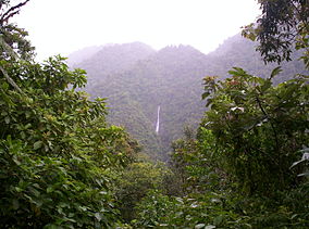
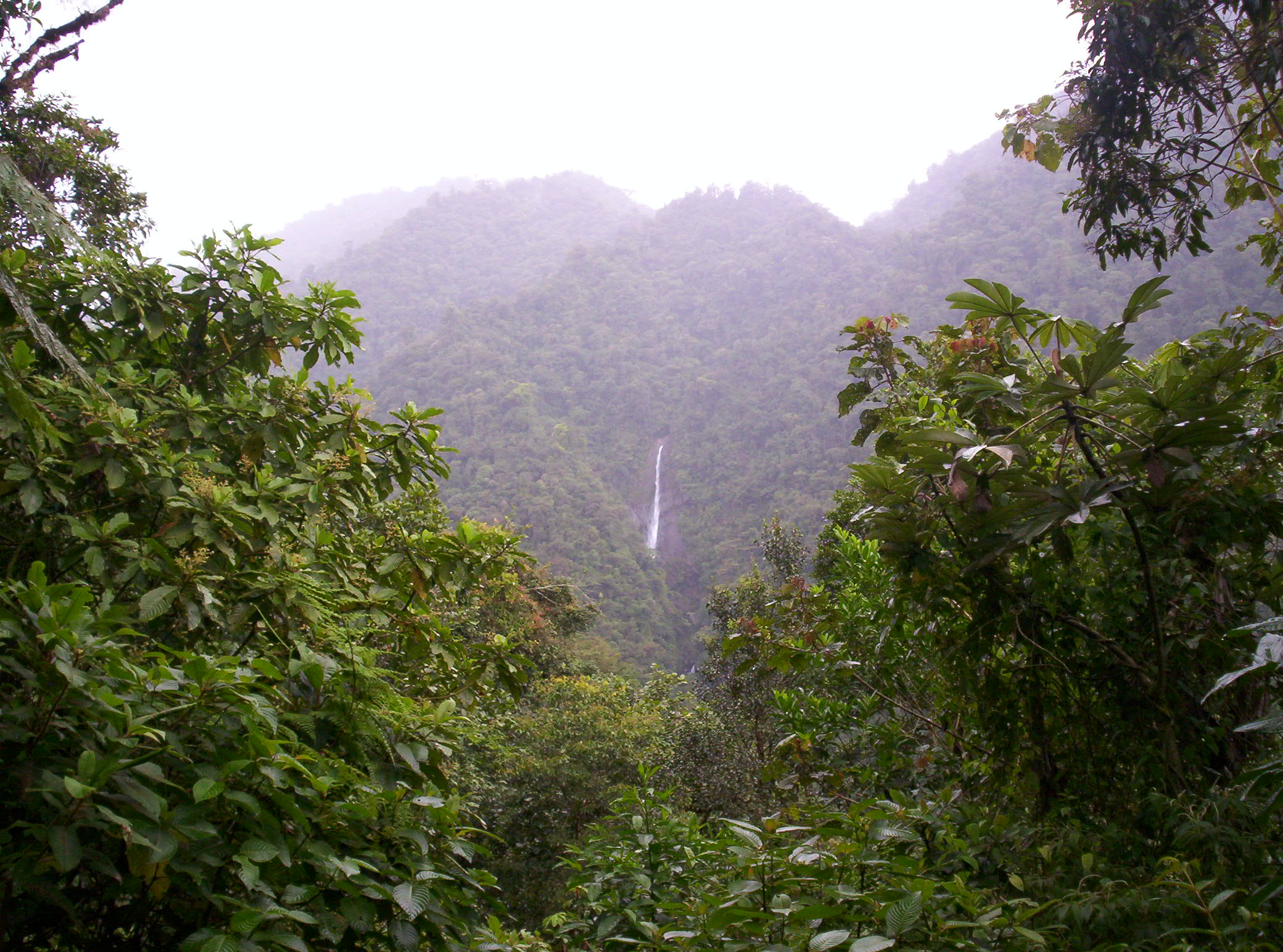
Waterfall seen from the visitor observatoryLocation within Costa Rica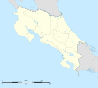

Location Costa Rica Nearest city Cartago Coordinates 9°46′14″N 83°47′59″W / 9.77056°N 83.79972°WCoordinates: 9°46′14″N 83°47′59″W / 9.77056°N 83.79972°W Area 58,323 hectares (583.23 km2)[1] Established February 1, 1982[1] Governing body National System of Conservation Areas (SINAC) Official website Tapantí National Park, sometimes called Orosí National Park, is a National Park in the Pacific La Amistad Conservation Area of Costa Rica located on the edge of the Talamanca Range, near Cartago. It protects forests to the north of Chirripó National Park, and also contains part of the Orosí River. The area known as Macizo de la Muerte was added to the park on January 14, 2000.[1]
Three new species of Lepanthes orchids were discovered in the park in 2009 and is so far their only known habitat. All three species, L. graciosa, L. machogaffensis, and L. pelvis, are miniature orchids and neither is longer than 5 mm. They were discovered by a team from the Lankester Botanical Garden and the University of Costa Rica.[2]
References
- ^ a b c "Información General - Parque Nacional Tapantí Macizo de la Muerte [General Information - Tapantí Macizo de la Muerte National Park]" (in Spanish). SINAC. http://www.sinac.go.cr/aclap_tapanti_general.php. Retrieved 2010-02-20.
- ^ Vargas, Alejandra (January 18, 2010). "Halladas 3 nuevas especies de orquídeas miniatura en Tapantí [3 new species of miniature orchids found in Tapantí]" (in Spanish). La Nación. http://www.nacion.com/ln_ee/2010/enero/18/aldea2197805.html.
External links
- Tapantí National Park at Costa Rica National Parks
National Parks of Costa Rica (by Conservation Area) Arenal Huetar Norte Arenal Tilaran Caribbean La Amistad Central Pacific Central Volcanic Guanacaste Osa Pacific La Amistad Tempisque Tortuguero Cocos Island Categories:- IUCN Category II
- National parks of Costa Rica
- Protected areas established in 1982
- Costa Rican protected area stubs

Wikimedia Foundation. 2010.