- Daly River, Northern Territory
-
Daly River
Northern Territory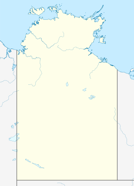
 Daly River
Population: 468 (2006 census) Established: 1865 Postcode: 0852 Coordinates: 13°45′55″S 130°42′41″E / 13.7653°S 130.7114°ECoordinates: 13°45′55″S 130°42′41″E / 13.7653°S 130.7114°E Location: LGA: Shire of Litchfield State District: Daly Federal Division: Lingiari Daly River is the name of a river and a town in the Northern Territory of Australia. At the 2006 census, Daly River had a population of 468.[1]
Contents
History
The traditional owners of the area are the Malak Malak people who live both in Nauiyu and at Wooliana downstream from the community.
European discovery of Daly River was in 1865 by Boyle Finniss, the first Premier of South Australia and Government Resident in the Northern Territory. Finniss named the river after Sir Dominick Daly, the Governor of South Australia, since the Northern Territory was at that time part of South Australia. The region lay untouched by Europeans until 1882 when copper was discovered.
Daly River town was the scene of some particularly bloody exchanges between the local Aborigines and the miners. In 1884 three miners were killed. The miners in the town wreaked vengeance on the local Aborigines out of proportion to the perceived crime. A year later, probably aware of the tensions in the area, the Roman Catholics established a mission in the town. As a result of Roman Catholic mission in this area, 75% percent of the population are Roman Catholics.
Through the twentieth century there were a number of attempts to settle the town without real success. In 1911 the Commonwealth Government tried to convince people to move to the town. By the 1920s there were plans for crops of peanuts and tobacco which came to nothing. Cashews and sugar cane were also planted unsuccessfully. In 1967 the Tipperary Land Corporation cleared large tracts of land around the settlement and started growing sorghum but the operation was closed down in 1973.
Attractions
Today the town is little more than a pub with a few motel units, a police station, and a free caravan park. It is located on the banks of the river a couple of kilometres from the Daly River Crossing, now by sealed road from the main tourist route, the Stuart Highway. The settlement is a centre for visitors to explore the Daly River Nature Park and fishermen after barramundi. The park is home to saltwater crocodiles, reptiles, spiders, cockatoos, wild pigs, feral Water Buffalo, mangroves, giant bamboos, pandanus and Kapok trees.
The Daly River is famed for its large barramundi and is one of the more popular waterways for recreational fishing. It hosts two major fishing competitions annually, the “Barra Classic” and the “Barra Nationals”. The best barramundi fishing is generally just after the wet season when the flooded river is falling fast and clear water is pouring in off the floodplains. The floodwater carries baitfish which in turn attracts predatory barramundi.
The Daly River is home to more freshwater turtle species than anywhere else in Australia.[2]
On the road 5 km east of Daly River is a turnoff to Woolianna, a camping and caravan park on the banks of the river, one of several such parks. Just before entering the town there is a turnoff to the Nauiyu Aboriginal Community, home to the Roman Catholic Mission and Merrepen Arts Centre where Aboriginal artifacts are sold.
Tributaries
- Katherine River
- Fish River
- Douglas River
- King River
See also
References
- ^ Australian Bureau of Statistics (25 October 2007). "Community Profile Series : Daly River (L) (Urban Centre/Locality)". 2006 Census of Population and Housing. http://www.censusdata.abs.gov.au/ABSNavigation/prenav/ProductSelect?newproducttype=Community+Profiles&collection=Census&period=2006&areacode=UCL701800&breadcrumb=LP¤taction=201&action=401. Retrieved 2007-12-17.
- ^ Warren Snowdon (6 October 2011). "Fish River - Conservation helps close the gap". Media Release. Commonwealth of Australia. http://www.environment.gov.au/minister/burke/2011/mr20111006.html. Retrieved 3 November 2011.
External links
Categories:- Towns in the Northern Territory
- Rivers of the Northern Territory

Wikimedia Foundation. 2010.