- County Route 560 (New Jersey)
-
County Route 560
Route information Length: 5.05 mi[1] (8.13 km) Major junctions West end: SR 2019 at Pennsylvania state line (Dingmans Ferry Bridge)  CR 640 in Layton
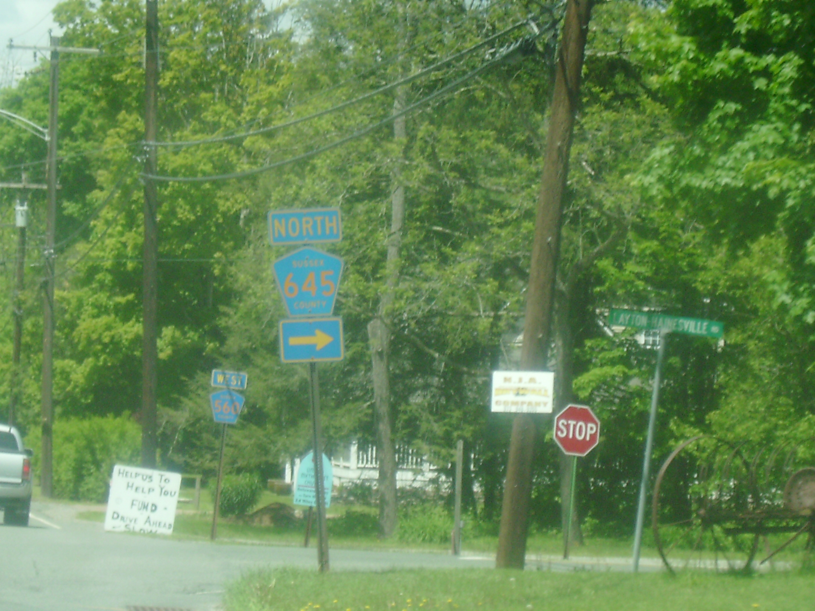
 CR 645 in Layton
East end: 
 US 206 / CR 521 in Sandyston Township
Highway system County routes in New Jersey
500-series←  CR 559
CR 561  →
→County Route 560 (abbreviated CR 560 and locally known as Tuttles Corner Road) is a county highway in the U.S. state of New Jersey. The highway extends 5.05 miles (8.13 km) from U.S. Route 206 and County Route 521 in Sandyston Township. Route 560 ends at the Pennsylvania state line, where it becomes Pike County Quadrant Route 2019, which connects to Pennsylvania Route 739. Route 560's entire length is in Sandyston. However, Route 560 does pass through the hamlet of Layton.
Contents
Route description
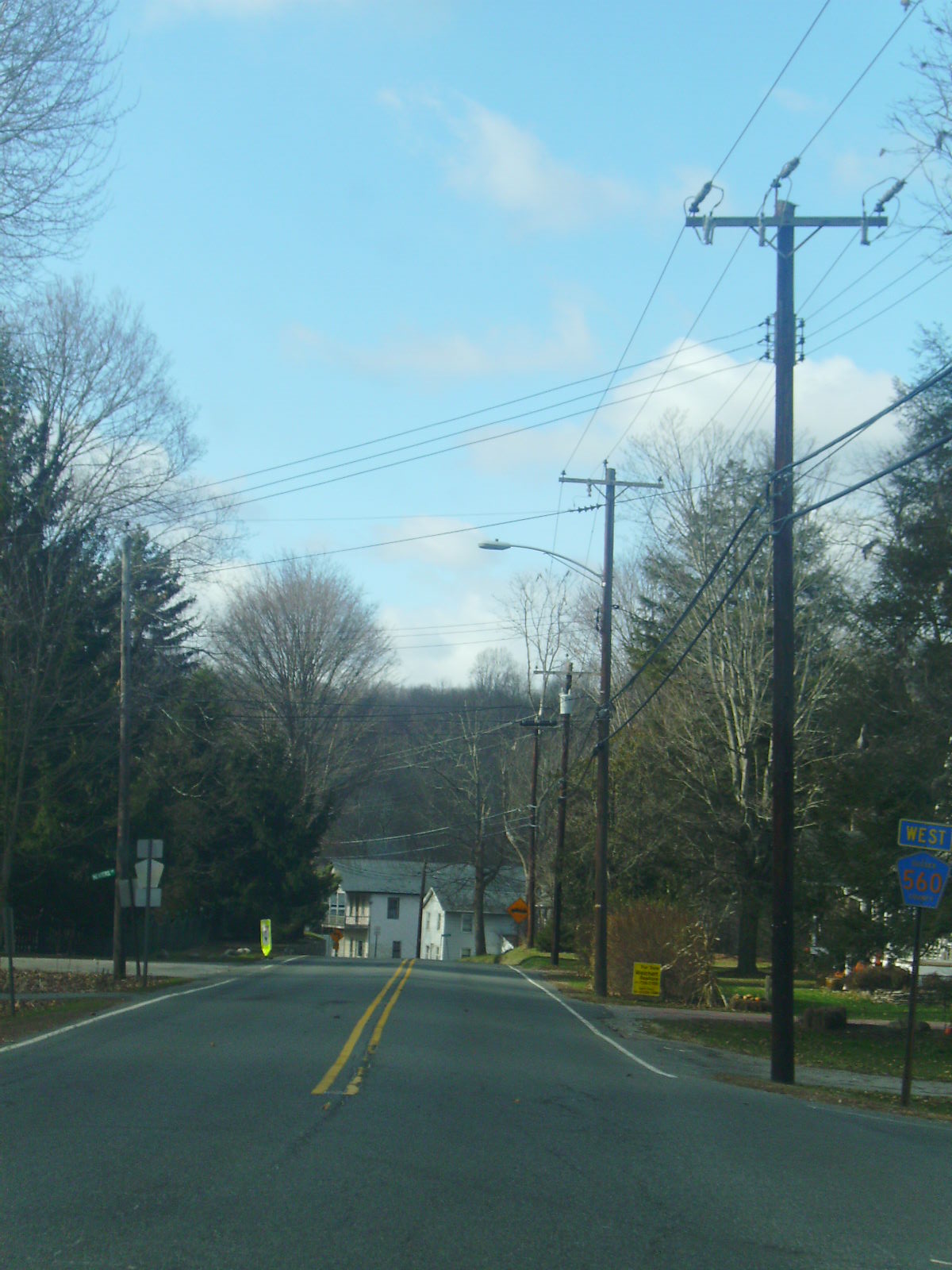
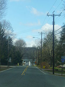 Route 560 westbound entering Layton
County Route 560 begins at an at-grade interchange with U.S. Route 206 and County Route 521 in Sandyston.[2] The first intersection is to the left for Teneyck Lane at .2 of a mile. Route 560 heads to the northwest, intersecting with Sussex CR 615. However, the intersection is closed off heading down 615. Route 560 turns to the north into Layton, where Sussex CR 645 begins. Route 560 curves to the south and intersects with Sussex CR 640 (Bevans Road) at 2.39 miles (3.85 km).[2]
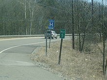
 CR 645 intersection with CR 560 in Layton
At the Bevans Road intersection, Route 560 turns to the east and then to the north.[2] Route 560 enters the Delaware Water Gap National Recreation Area just after 3.5 miles (5.6 km). Route 560 intersects with Upper Ridge Road at 3.97 miles (6.39 km). Old Mine Road is a connector road to 206 and 521, with access to the Peters Valley Craft Center. Route 560 crosses onto the Dingmans Ferry Bridge, where it ends at the Pennsylvania state line.[2] There it continues as QR 2019 to PA 739.
History
When County Route 521 was assigned in the 1950s, it originally made the alignments of County Route 560 and the Old Mine Road north of Route 560.[3] Then, no route originally crossed over the Dingmans Bridge to Pennsylvania Route 739. Route 521 was later rerouted off the highway, which extended its multiplex with U.S. Route 206. US 206 and CR 521 are now the highway's eastern terminus. When the route was completely re-routed, Tuttles Corners Road became CR 560, which was extended to the Dingmans Bridge to PA 739 (now QR 2019).[4] The Old Mine Road segment became a federal maintained road, and there are no remains of the original 521.
Major intersections
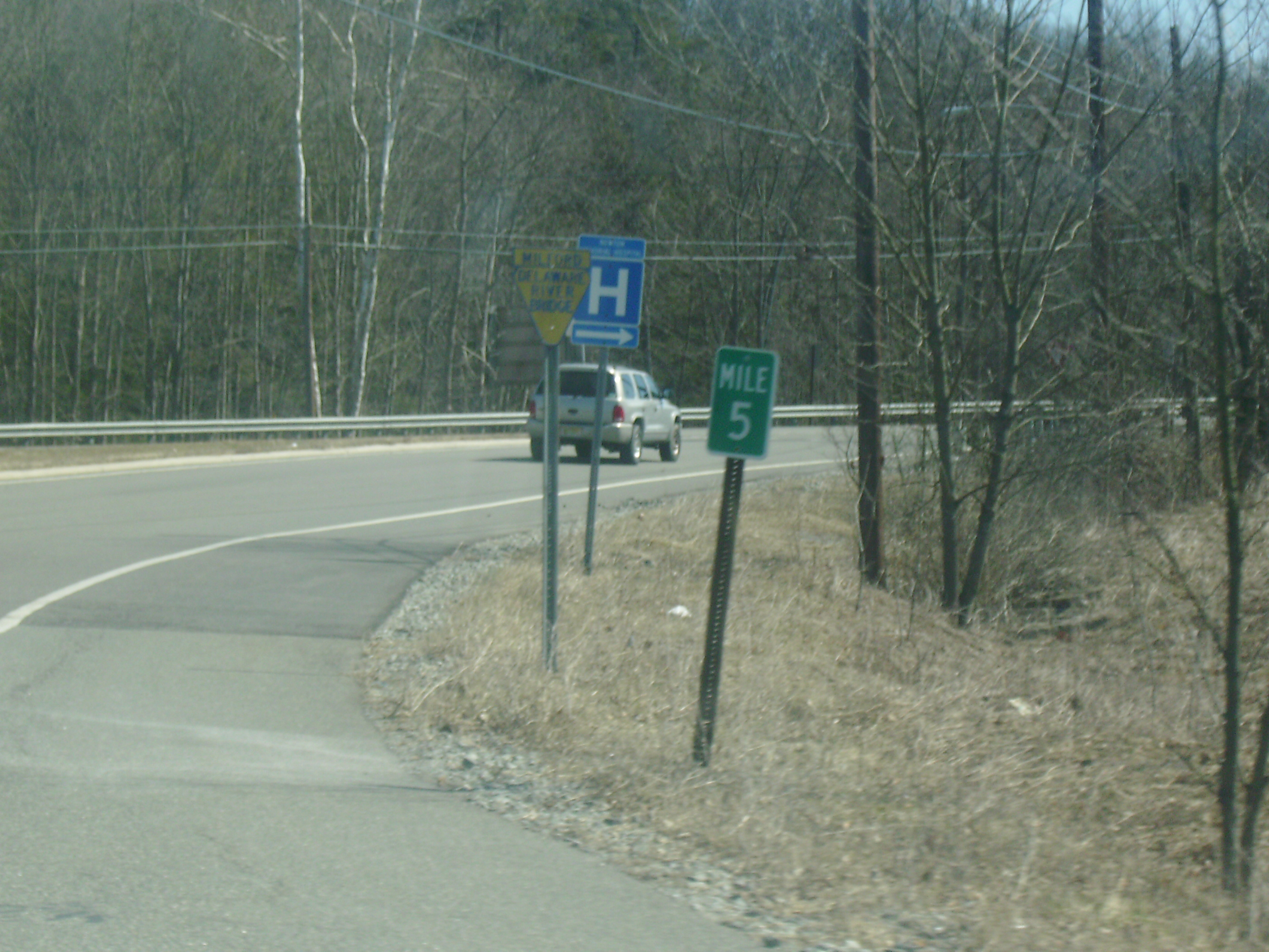
 The final mile marker on CR 560 eastbound at the junction with US 206/CR 521 in Sandyston Township
The entire route is in Sussex County.
Location Mile[1] Destinations Notes Sandyston Township 0.00 US 206 / CR 521Eastern terminus of Route 560. 0.88  CR 615 (Ennis Road)
Layton 2.16 CR 6452.39 CR 640Sandyston Township 5.05  SR 2019 to PA 739
Western terminus of Route 560. 1.000 mi = 1.609 km; 1.000 km = 0.621 mi See also
 U.S. Roads portal
 New Jersey portal
References
- ^ a b NJDOT County Route 560 Straight Line Diagram (PDF) (NJDOT) (Straight line diagram)
- ^ a b c d Google Maps. Overview Map of County Route 560 (Map). http://maps.google.com/maps?hl=en&rlz=1T4ADBF_enUS232US232&q=from:+CR-560/Dingmans+Rd+%4041.198108,+-74.802906+to:+CR-560/Dingmans+Rd+%4041.220070,+-74.859670&um=1&ie=UTF-8&sa=N&tab=wl. Retrieved 2007-12-13.
- ^ Steve Alpert. "CR 521 - New Jersey Route Log". http://www.alpsroads.net/roads/nj/log/52.html#521. Retrieved 2008-05-14.
- ^ Steve Alpert. "CR 560 - New Jersey Route Log". http://www.alpsroads.net/roads/nj/log/54.html#560. Retrieved 2008-05-14.
External links
Categories:- County routes in New Jersey
- Transportation in Sussex County, New Jersey

Wikimedia Foundation. 2010.