- Tufanbeyli
Infobox Settlement
settlement_type = District
subdivision_type = Country
subdivision_name = TUR
timezone=EET
utc_offset=+2
map_caption =Location of Tufanbeyli within Turkey.
timezone_DST=EEST
utc_offset_DST=+3official_name = Tufanbeyli
map2 =
map2 size =
map2 c
map1 =
map1 size =
map1 c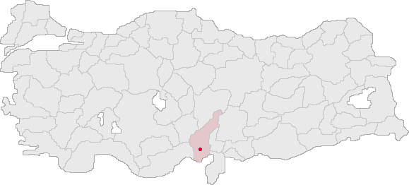
map c
subdivision_name2 =
population_total =
population_as_of =
population_footnotes =
population_density_km2 =
area_total_km2 = 964|elevation_m = 1471|latd = 37
latm = 48
latNS = N
longd = 35
longm = 57
longEW = E
postal_code_type=Postal code
postal_code = 01xx
area_code = 0322
blank_info = 01|blank_name=Licence plate
leader_name =
website = http://www.tufanbeylidh.saglik.gov.tr/Tufanbeyli is a district of
Adana Province ofTurkey , 196km north-east of the city ofAdana , on an uneven, sloping plateau high in the Tahtalı range of theToros mountains.Tufanbeyli is reached by crossing one of three high mountain passes. It's a struggle to reach but the views are incredible. The river Göksün, a tributary of the
Seyhan runs across the plateau. The climate is hot dry summers and cold winters. The mountains are forested but these are steadily being consumed by the local people.History
The area has been inhabited for a long time, there are Hittite burial mounds in the village of Hanyeri and Gebze, and the ruins of a Roman amphitheatre, an antique castle and a Byzantine church. And more antique ruins in the district of Şar. In the past the town was named Hüketçe and Mağra.
The area is now settled by descendants of Turks from the
Caucasus and theAvşar (Afshar ? tribe; the former having come toAnatolia in flight from the Russian influx into the Caucasus in the 18th and 19th centuries. The latter being the one group of Turkish migrants from Asia that have preserved their clan identity in Anatolia. The Avşar played a key role in the Turkish conquest of theÇukurova region and remained a local authority right up until the 19th century, especially in mountain strongholds like Tufanbeyli.See also
* [http://adana.cu.edu.tr/tufanbeyli.asp Short intro to the area]
* [http://www.avsarobasi.com/ website Devoted to the Avşar culture]

Wikimedia Foundation. 2010.